City Guesser Game
Not gonna lie, sometimes I crave simple guessing games that allows me to reinforce my useless and extensive geography knowledge by clicking or typing stuff that I already know, sometimes for hours. One of the best games that I found is City Guesser Game in School of Cities Github.

Click the logo to check out this game!
I'm not sure who made this game, but the parent link leads to University of Toronto and School of Cities so shoutout to them :).
The game is simple: for each untitled map guess what that city is, out of four answers. In this article I show you a couple of tips how to master it so you may acquire some really useless skill of noticing differences between city layouts in different countries and continents ;).
The color scheme of the maps in this game is very straightforward: Background blue is just a land, light blue is water, green places are woodlands and parks, dark blue lines are roads and depending on the thickness its either highway or just a street, railways are yellow and metro lines are dashed yellow lines. If you zoom in there are also thin yellow tramlines (if the city have any), pathways are thin grey lines and all the buildings are dark green shapes with light blue border. Fortunatelly the terrain have shadows that indicate mountains which is very helpful, as you will see.
In this article I'll show you an example of my game and some tips how to figure out places that I might not even know that exist :).
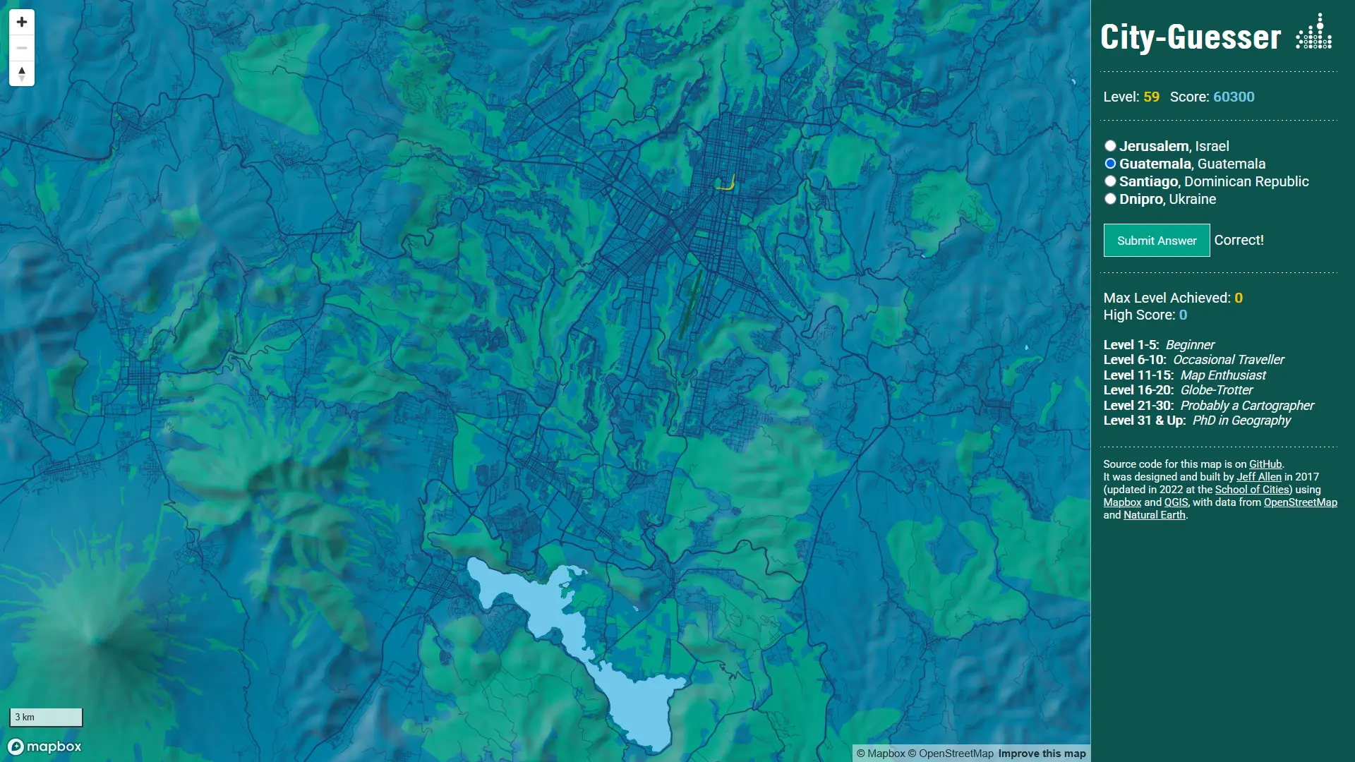
Guatemala City - Central America
If you see on the map almost no railways and lone cone shaped mountains which are probably volcanos, it's almost definitely Central American capital.
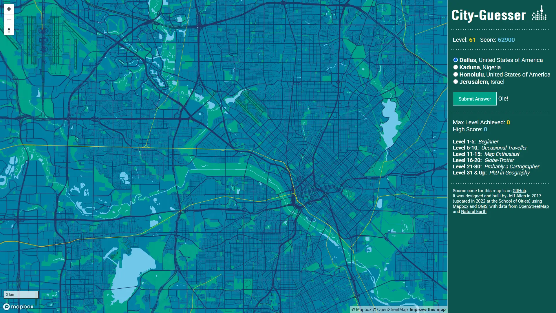
Dallas-Fort Worth - large US cities are the easiest
The rule is simple, if in the center there is a tiny highway ringroad, there are very few railways, but there are tons of 1 mile grid networks - it's in the US. Also, lots of cul-de-sacs strongly suggest city with a lot of rich suburbs.
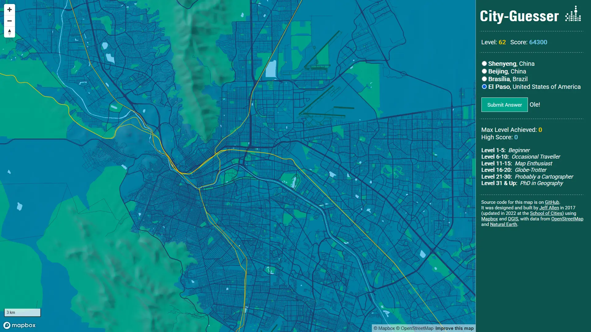
El Paso (and Ciudad Juarez) - the US cities with a spin
Border cities in the United States tend to not have many bridges even when the obstacles (in this case Rio Grande) is not that large. Not so obvious thing on this map is also not regular grid on the central southern bank of the river: Mexican cities tend to have denser grids than American ones.
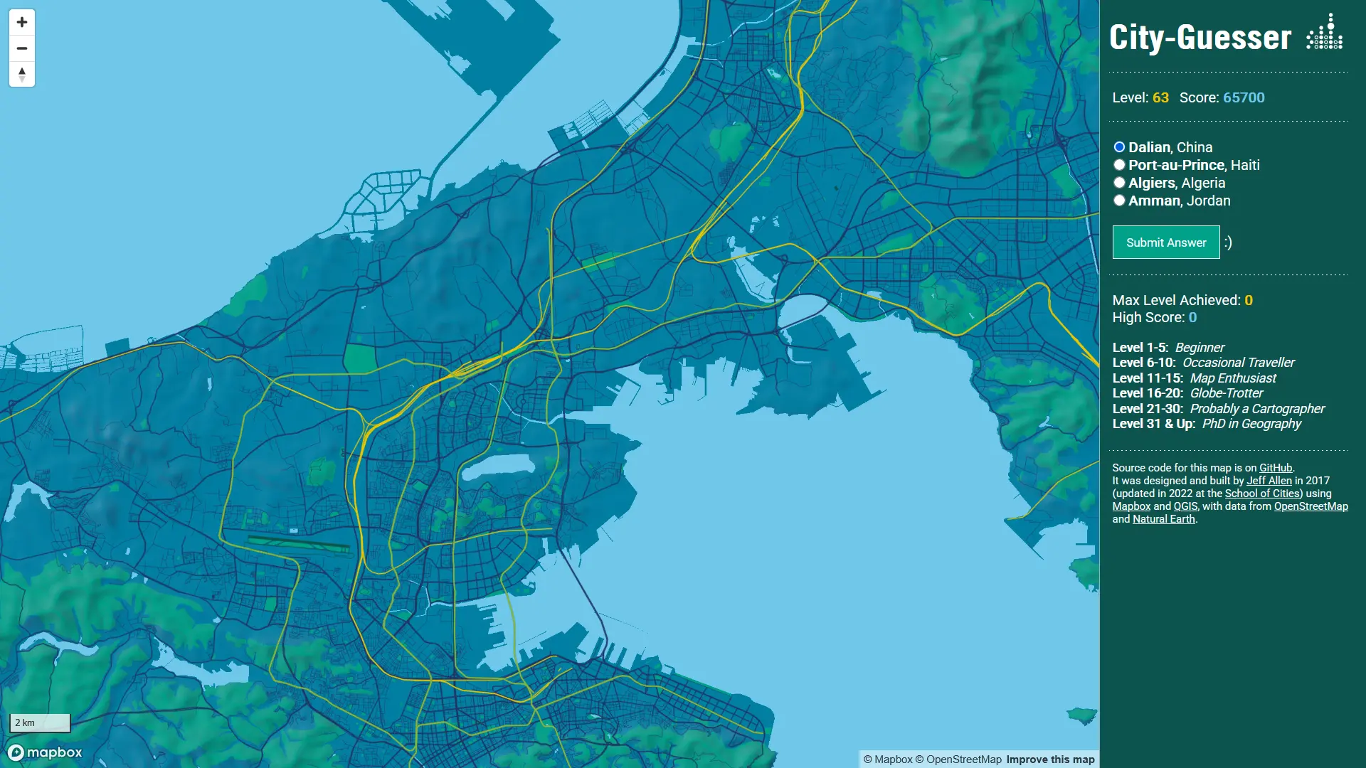
Dalian - coastal China
Almost all Chinese cities that appears on this game have extensive rail and metro networks. The coastal cities also tend to have absurdly large and very rectangular seaports.
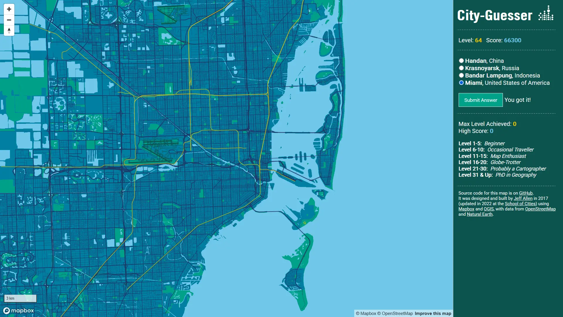
Miami - coastal USA and its crazy suburbs
Miami is one of the city that I recongnize after half a second, that waterfront and the 'suburbs' filled with water is totally unique, yet still shows typical American traits.
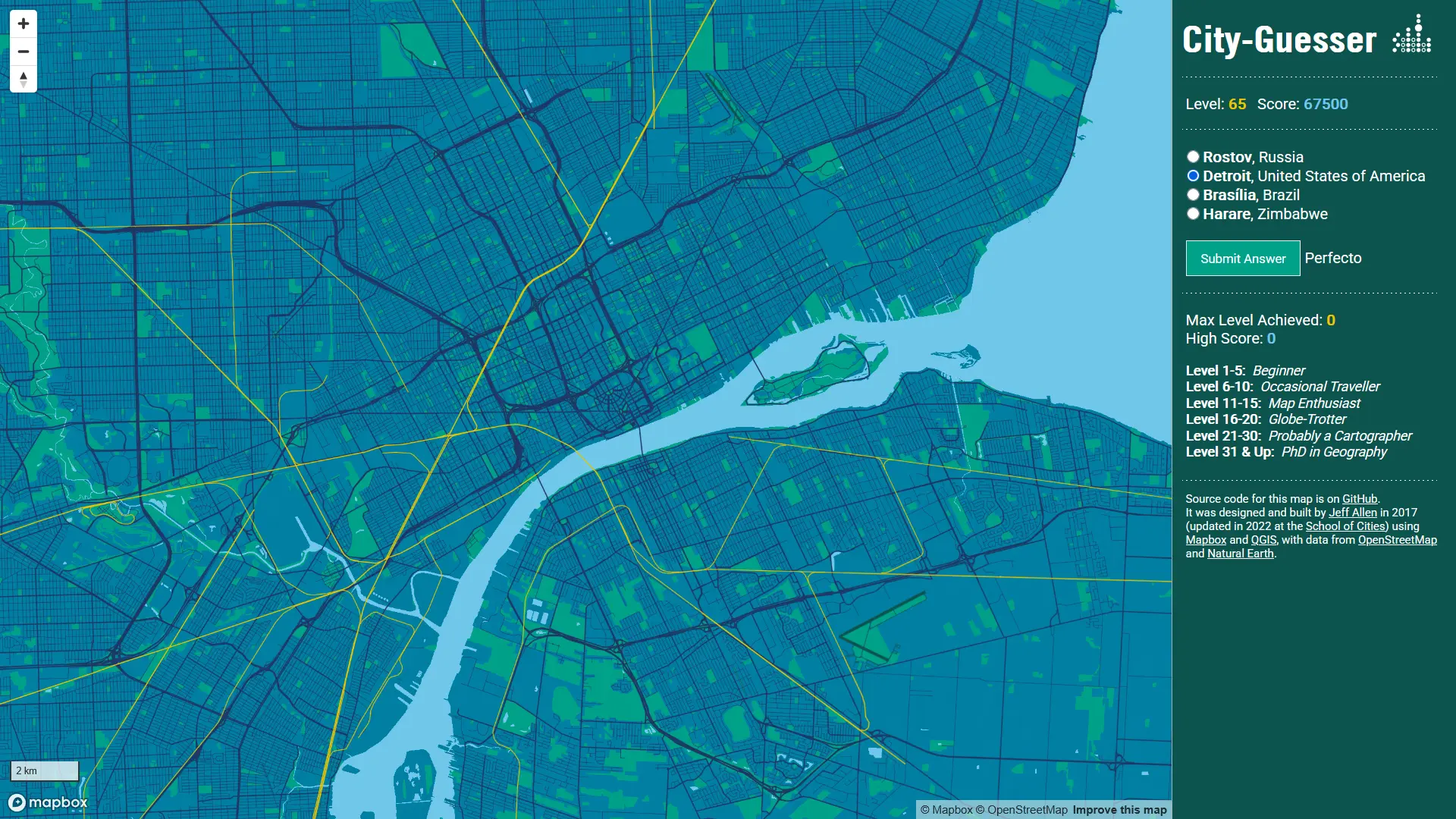
Detroit - subtle difference between US and Canada
Yet another border cities separated by the Detroit River. The slight difference is that on the Canadian site there is no small highway loop in the city center.
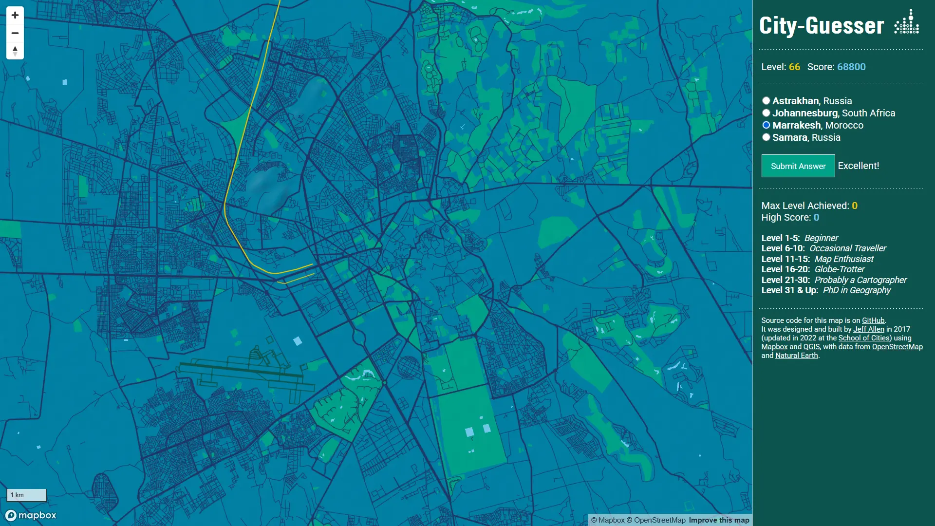
Marrakesh - how to spot Islamic city
Cities across the Middle East and North Africa usually have a small city center that is made of very irregular network of narrow streets that often sharply bends and have deadends.
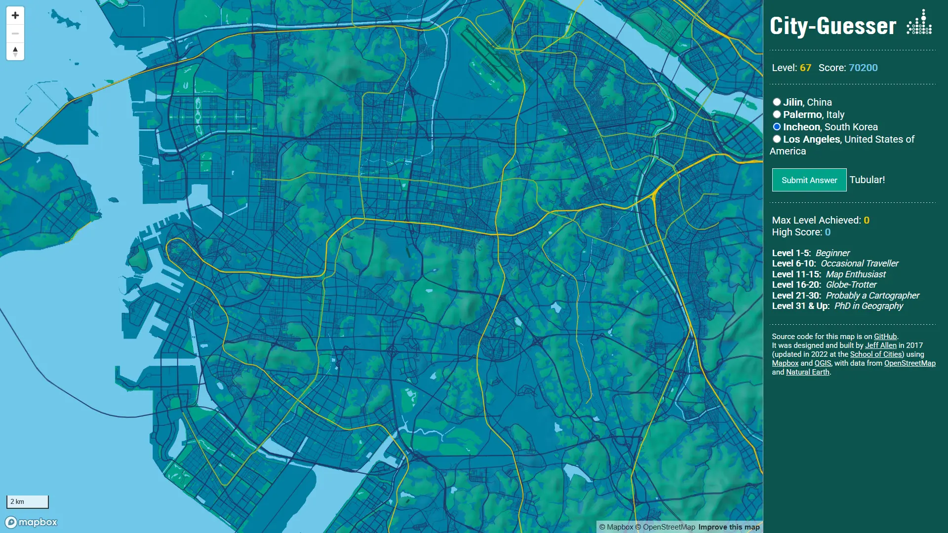
Incheon (and Seoul) - massive and powerful East Asian cities
Extensive rail and metro networks are common in East Asian Cities. Sometimes if you pan out to the edge of the map you might spot another large and easily recognizable city. In the case of Seoul and Incheon that can appear separately even though they are really close.
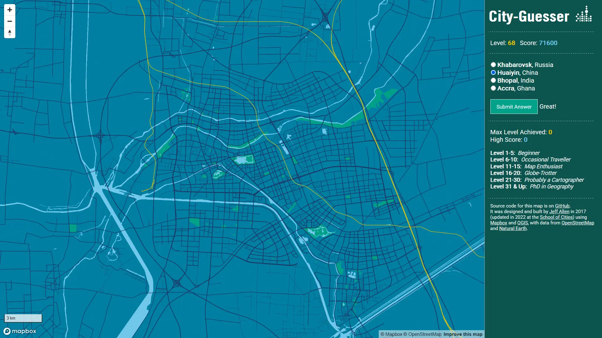
Huaiyin - obscure Chinese cities
I'm not good at "small" Chinese and Indian cities - even though they might have at least one million citizens, I still might never heard of them. In the case of Huaiyin - I genuinely saw this map for the first time ever. One thing that might help to figure out places like this is to check is there a high speed railway that is far away from the city center and most importantly: very straight and thick. The line is sometimes doubled with a more curvy railway. That, and a lot of straight water coasts and rivers strongly suggests it's in China.
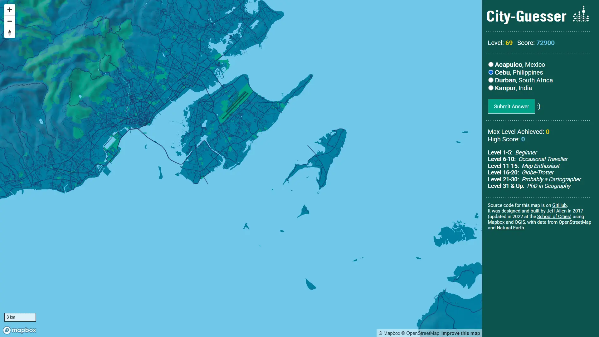
Cebu - Philipines and non Chinese Asia in general
If there are zero railways, it's definitely not China.
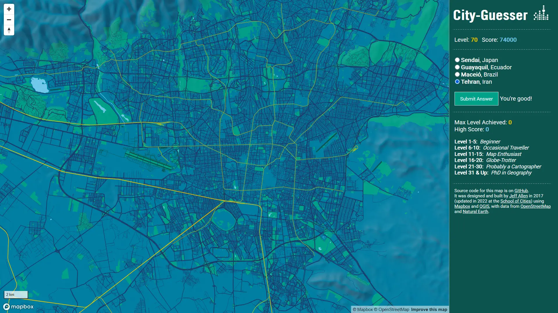
Tehran - large Middle Eastern cities
This city is hard to classify as it's got quite extensive metro network and a lot of green spaces within the urbanized area. The best guess here is just surrounding area - large mountain range on the north and the emptiness in the close vicinity of the city.
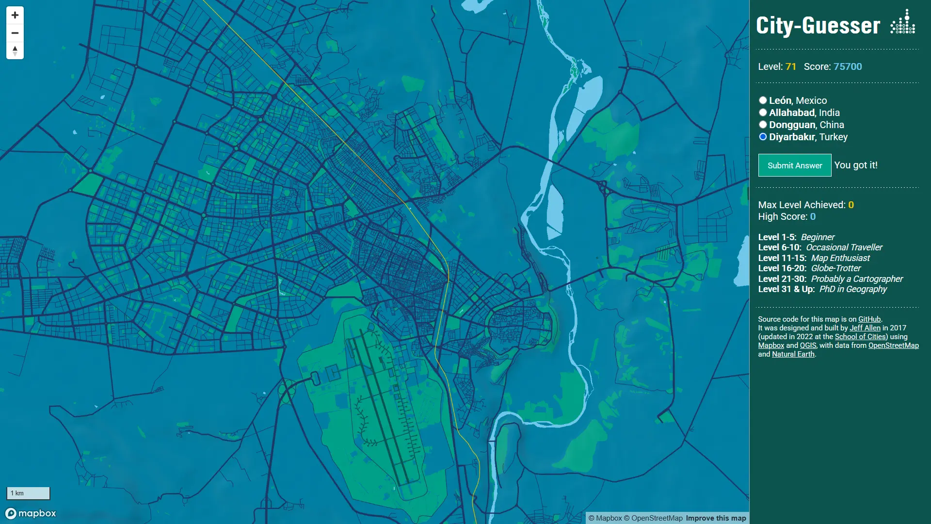
Diyarbakir - Turkish city with Arabic spin
Turkiye have surpringly few railways, even in a few
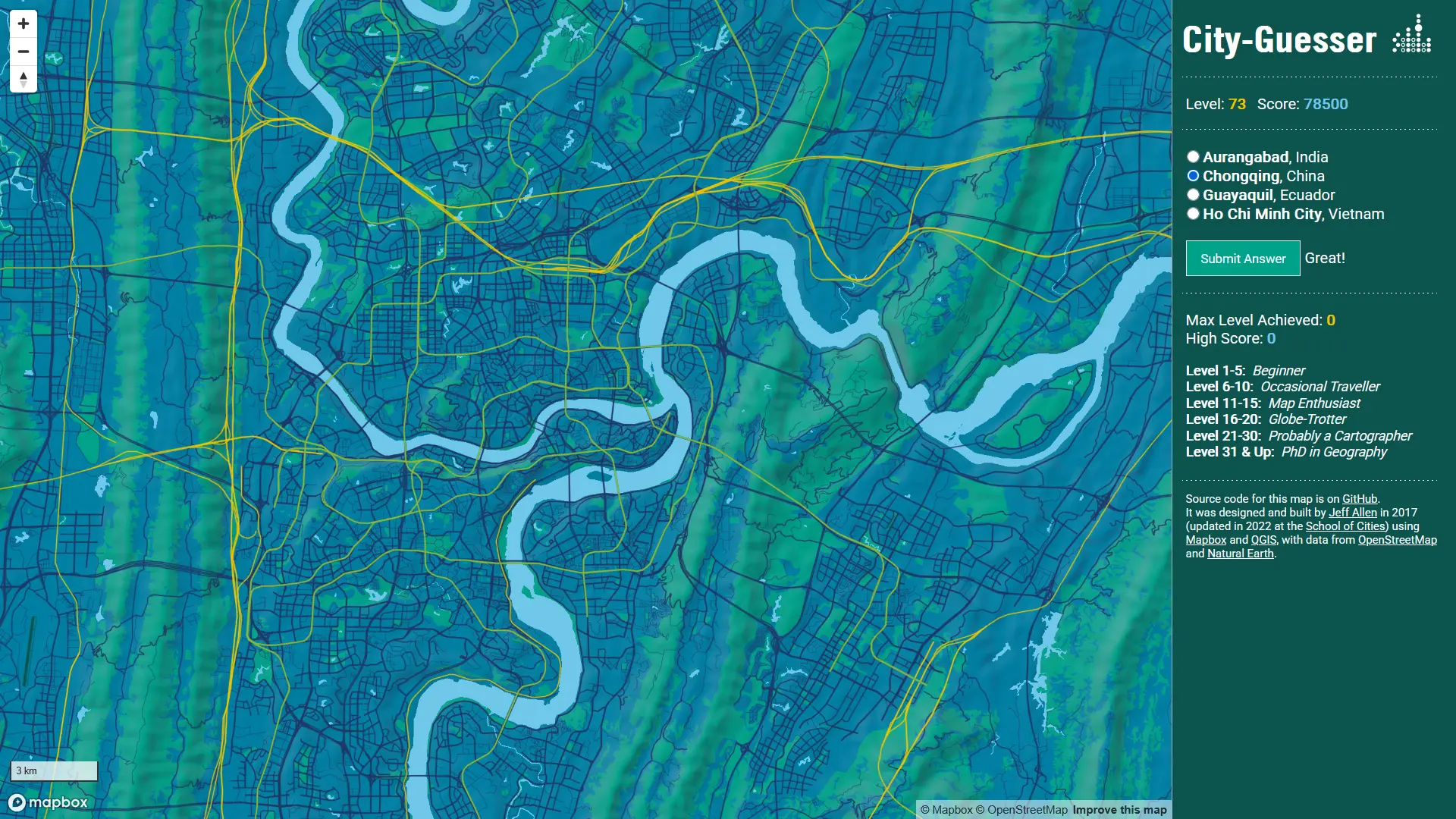
Chongqing - Chinese city extreme edition
That map is just epic, those super straight mountain ranges remind of some kind a massive continental shift.
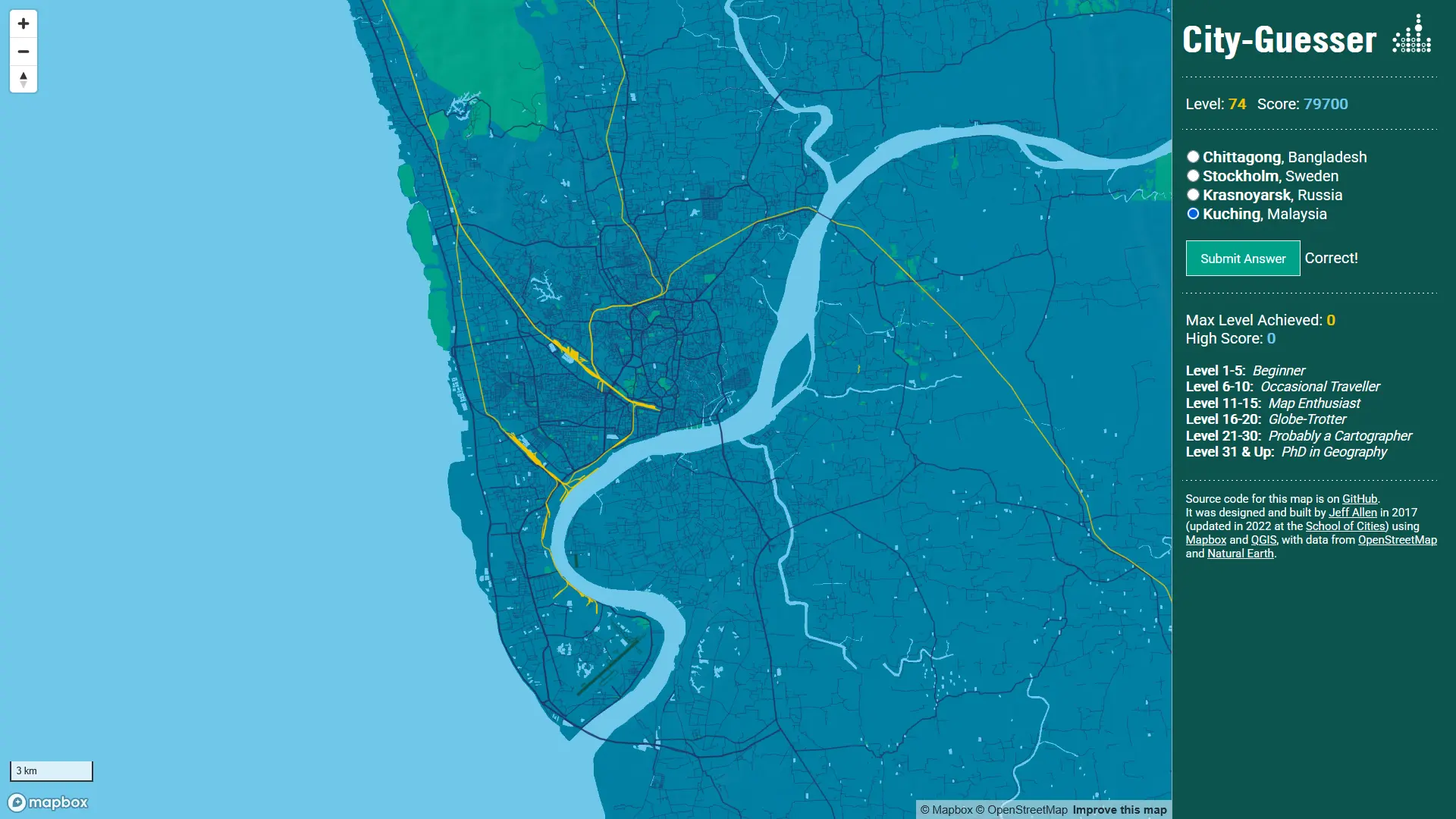
Chittagong - clues of South Asia
Lots of tiny reservouirs, large rivers and dense, often irregular street grid reminds of South and Southeast Asia. The difference is other in the surrounding areas: in Indonesia and Malaysia there are almost no suburbs, just a jungle, but in India, Bangladesh and somethimes Pakistan there are many evenly spread tiny towns.
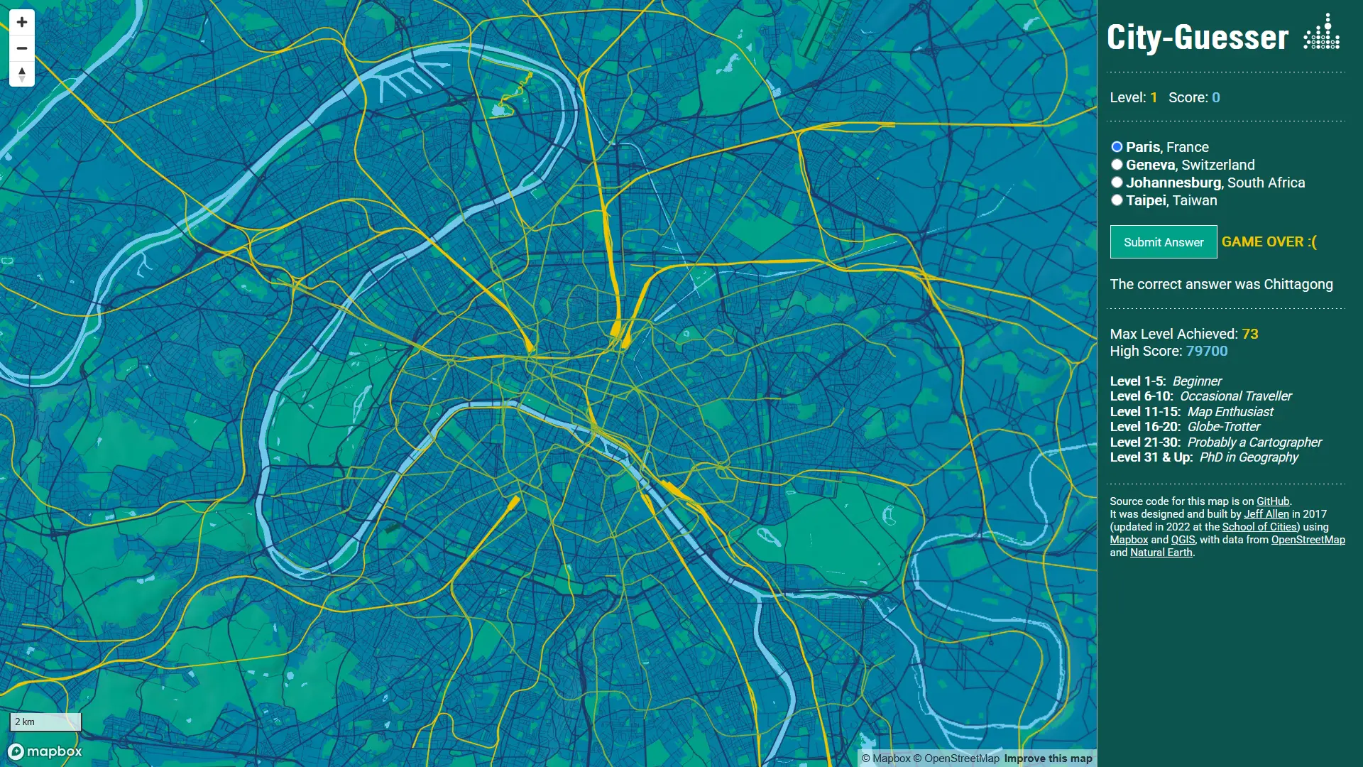
I lost my best round - back to the basics
As far as I made it up to 70's rounds, I lost because I could tell the difference between Malaysia and Bangladesh.
Don't worry, first 10 or 20 rounds are quite easy if you are a little nerdy when it comes to maps and geography in general: Paris, London, New York, Dubai - those are the cities that you may recognize even when you've never see them but know something about them.
I didn't mentioned some specific details, but to be honest, if you're going to play it for a while, you will see them by yourself, I'm not going to spoil it for you! The game is such a treat for everyone that loves maps and engaging way to learn how to recognize specific city layouts and its most prominent features. I'm little dissapointed that as much as I played it, only one Polish city (Warsaw) ever appeared. If the creator may ever customize this game I wish they could add a feature to select specific countries and continets, that's how we could guess a larger variety of cities without climbing up to 100 levels. But at least I got to learn some more about Chinese and Indonesian cities :).