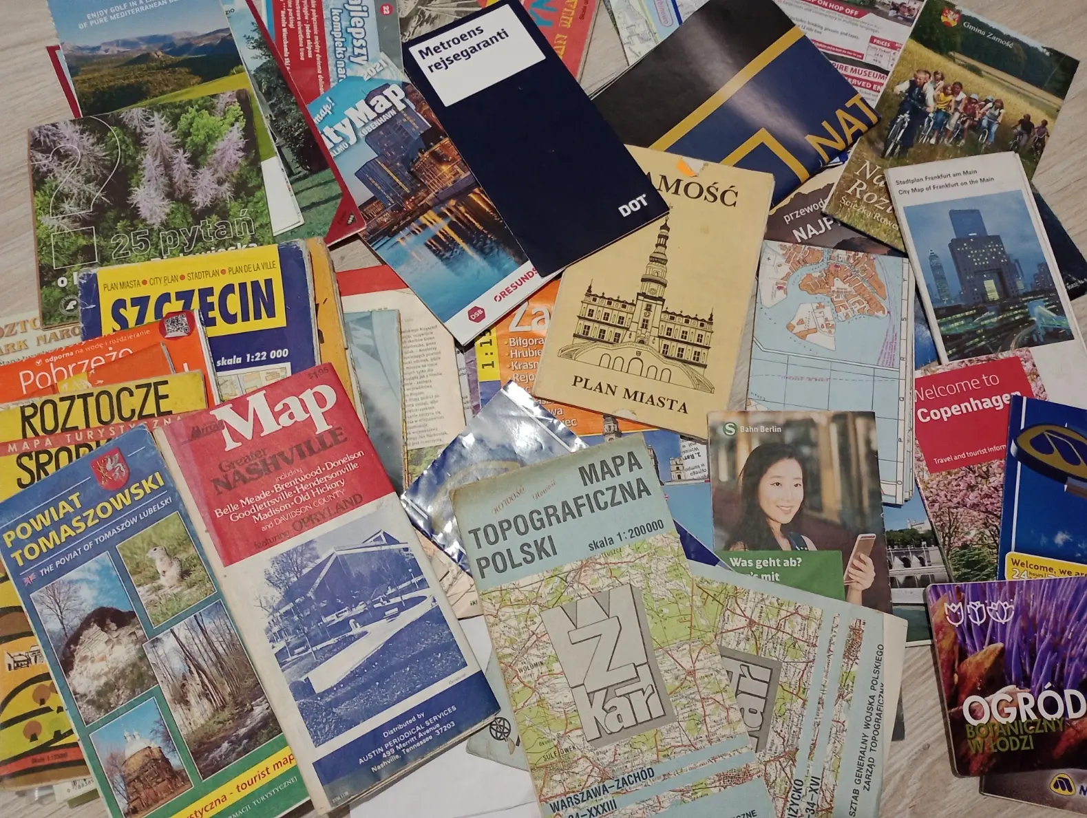
My Collection of Paper Maps
The most vivid memory of the first paper map that I ever got was a huge geographic atlas that I got as a gift from my father in Christmas 2002. The atlas was marvelously detailed and got tons of informations about basically every single country on Earth, including the unrecognized countries which was so fascinating as they weren't included on regular school maps, they felt like a hidden information that only pro geography nerds knew.
Since then I gathered some collection of random maps of cities and countries, some of them were just laying around as they were bought specifically for a trip, and some are just frylers for tourists.
Maps of Europe
Maps of places in Europe (excluding Poland)
My maps of Europe (excluding Poland)
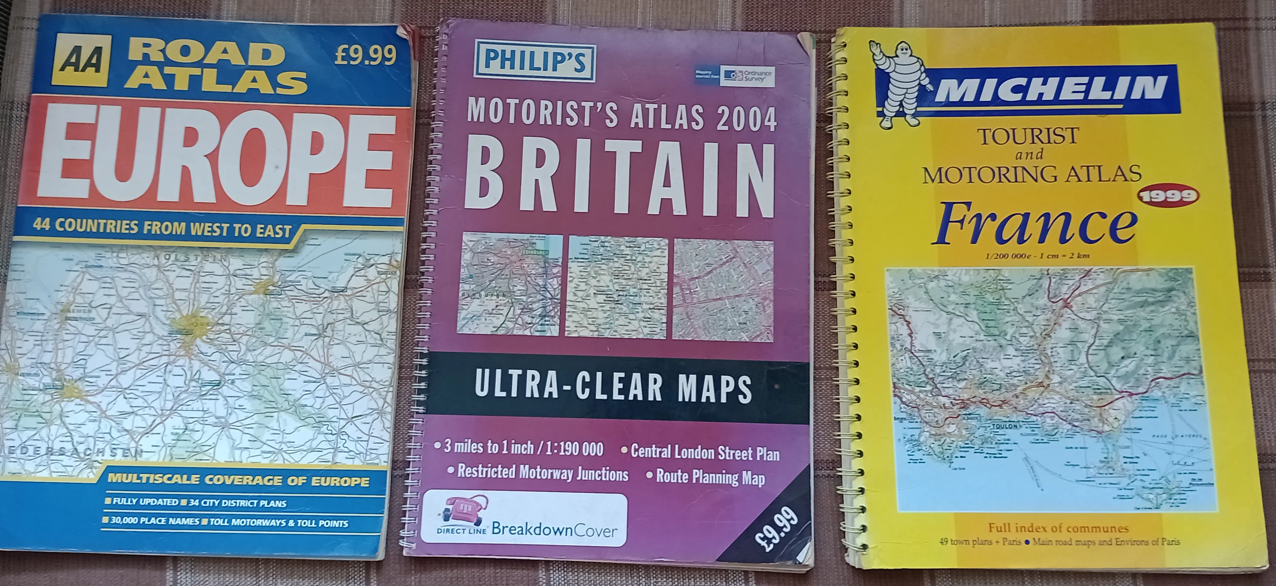
Large format road atlases of Europe, Great Britain (without Northern Ireland) and France
The atlas of Europe has various scales, western countries (excluding northernmost Scandinavia) were obviously more detailed. The maps of Great Britain and France are scaled mostly 1cm - 2km, Britain's scale were probably a bit different as there was a second scale in miles per inch.
Published: Europe: 2001, Great Britain: 2004, France: 1998
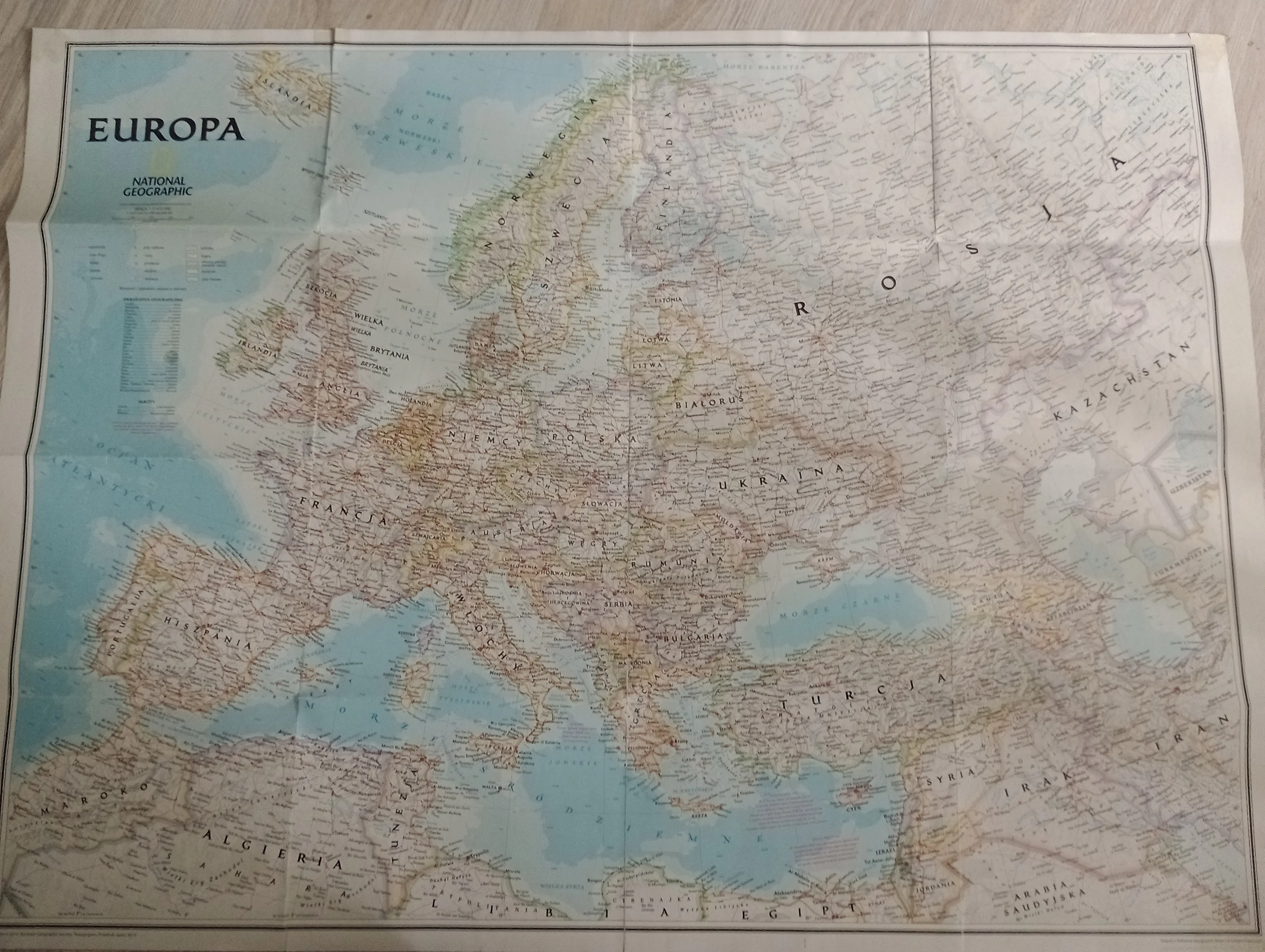
Map of Europe by National Geographic
I bought a special edition of National Geographic magazine specifically to get that map, it's fantastically detailed, the colors of the nations borders looks great and I love that the map covers the area big enough so Caspian and Mediterranean seas are fully visible.
Published: -
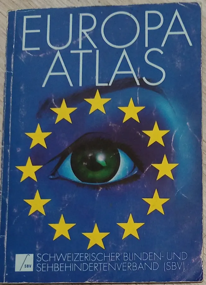
Swiss Atlas of Europe from 1990
I don't even remember how I got this, probably bought by my dad in Switzerland decades ago, even before I was born. Apparently I was in Switzerland too, on a way to Catalonia and Andorra, but I was too young to remember any details other than that I got a green "I love Switzerland" wallet.
Published: 1990 in Switzerland
First page of the atlas
On those kinds of atlases in which the less pages to print the better, it's very apparent that the authors knew that the usual customers needs more detailed the West rather than the East. The exceptions are Scandinavia, especially the far north with very sparse network of cities and Yugoslavia and Hungary which seemed too important on the way to Greece to be shown less precisely. Iceland had be to shown on a single page and luckily it fitted the smaller scale.
This whole atlas is a pretty neat little book, with statistics for each country, short descriptions about the culture and economy of Europe and even the mention of the European Union - all in German, so I didn't decife it yet.
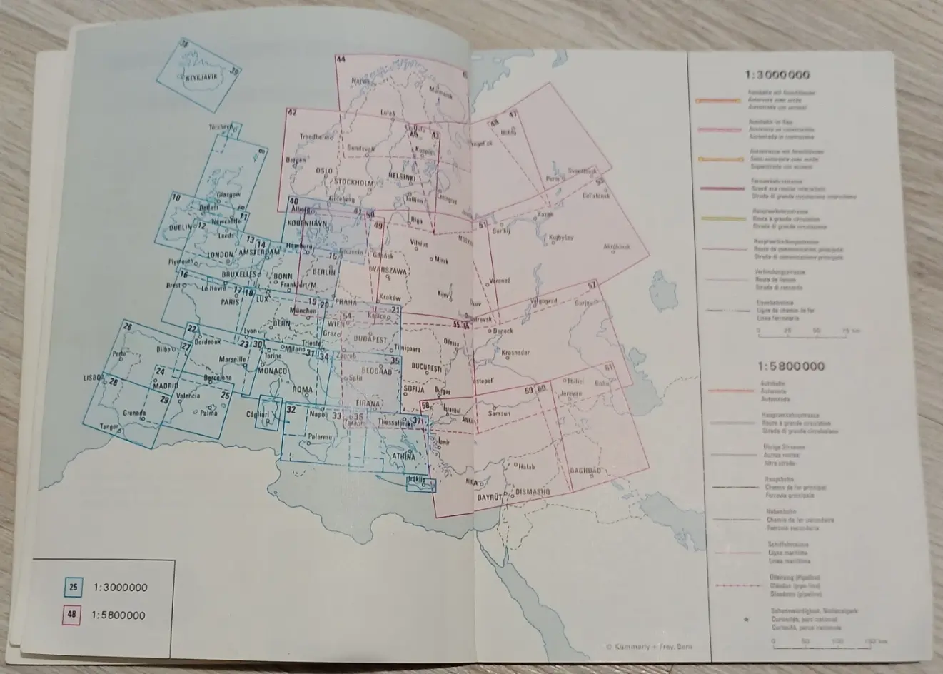
Berlin

Berlin U-Bahn Cover
Map context
Published: -
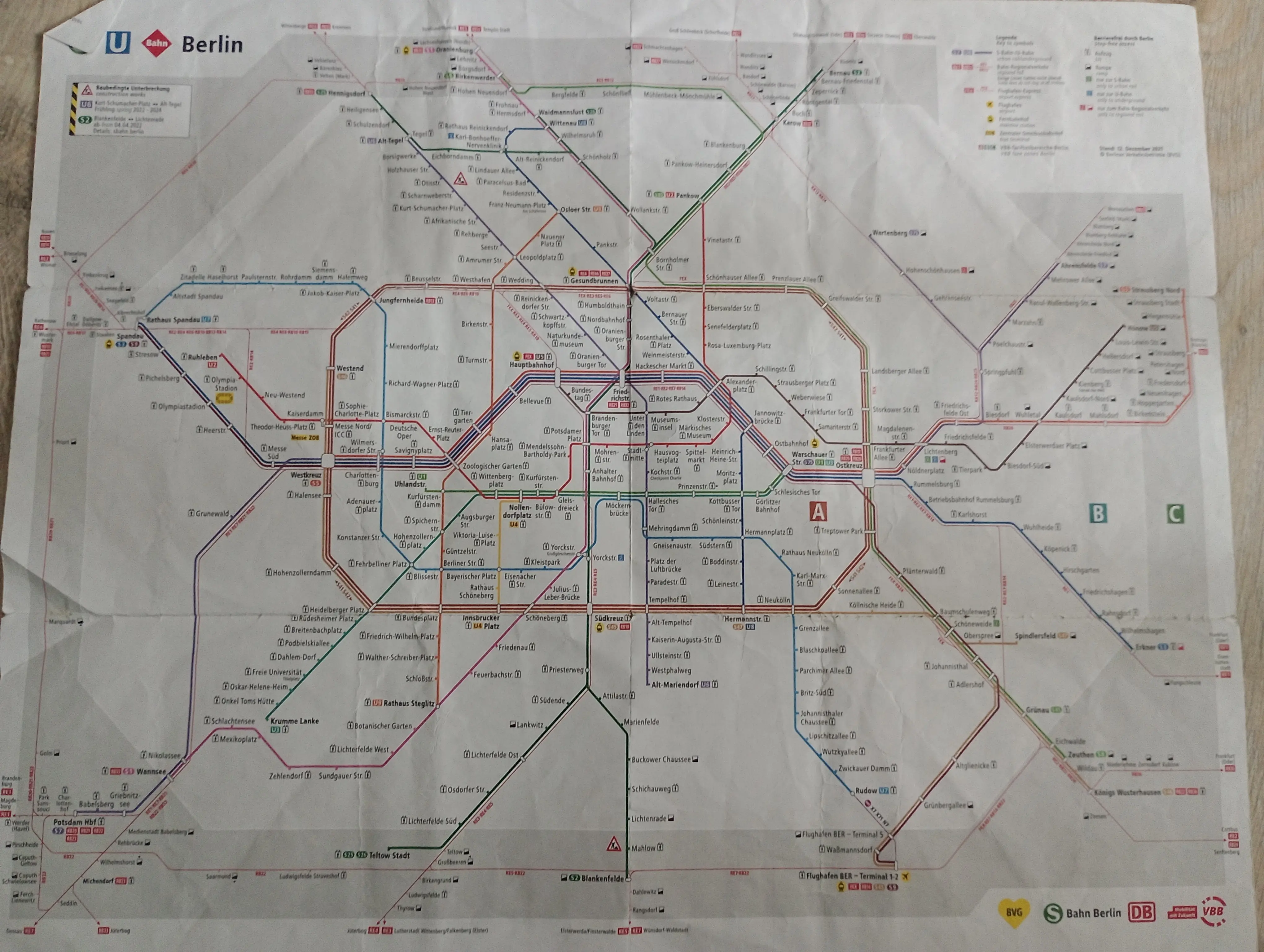
Berlin U-Bahn map
Map context
Published: -
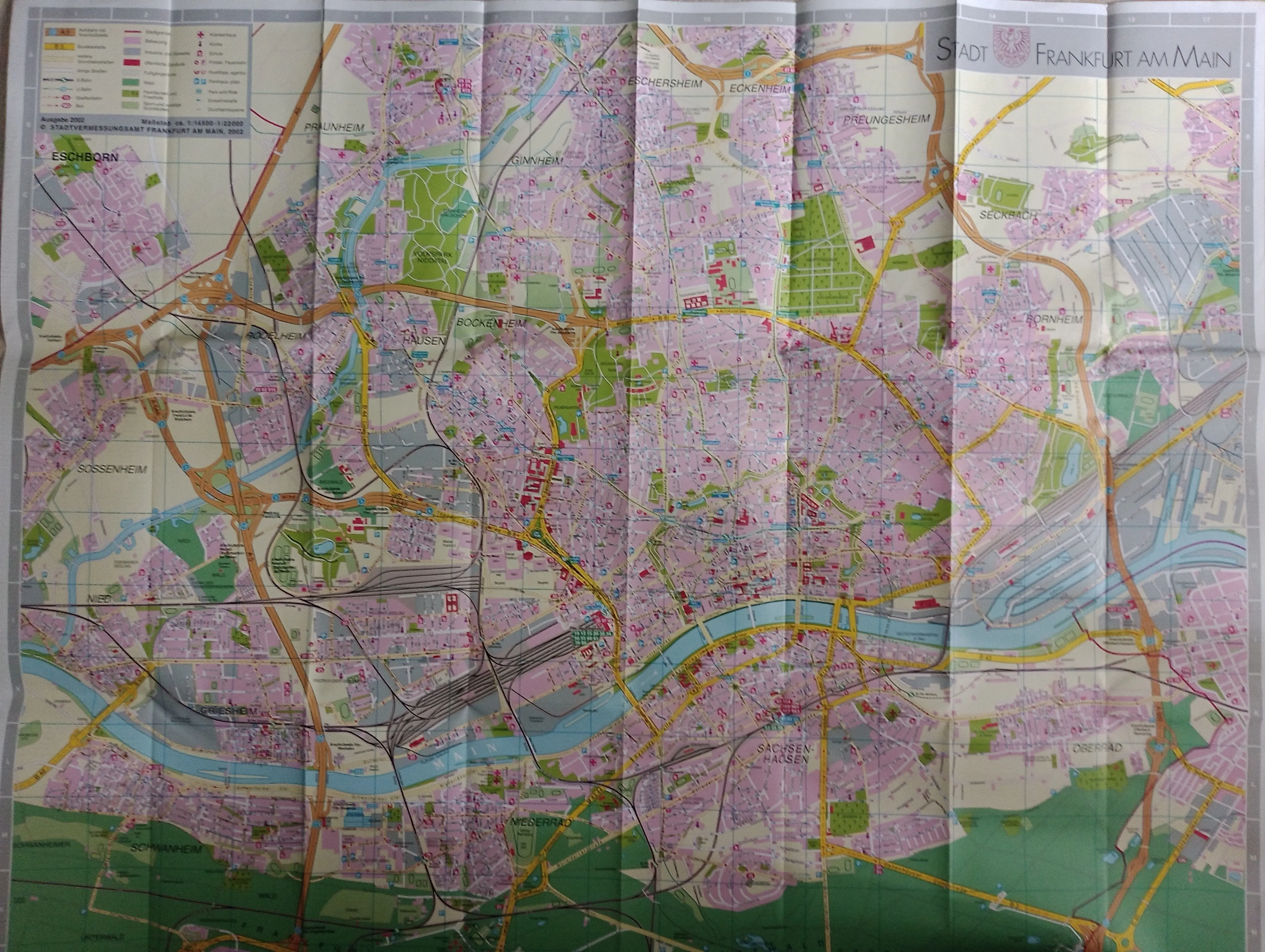
Frankfurt
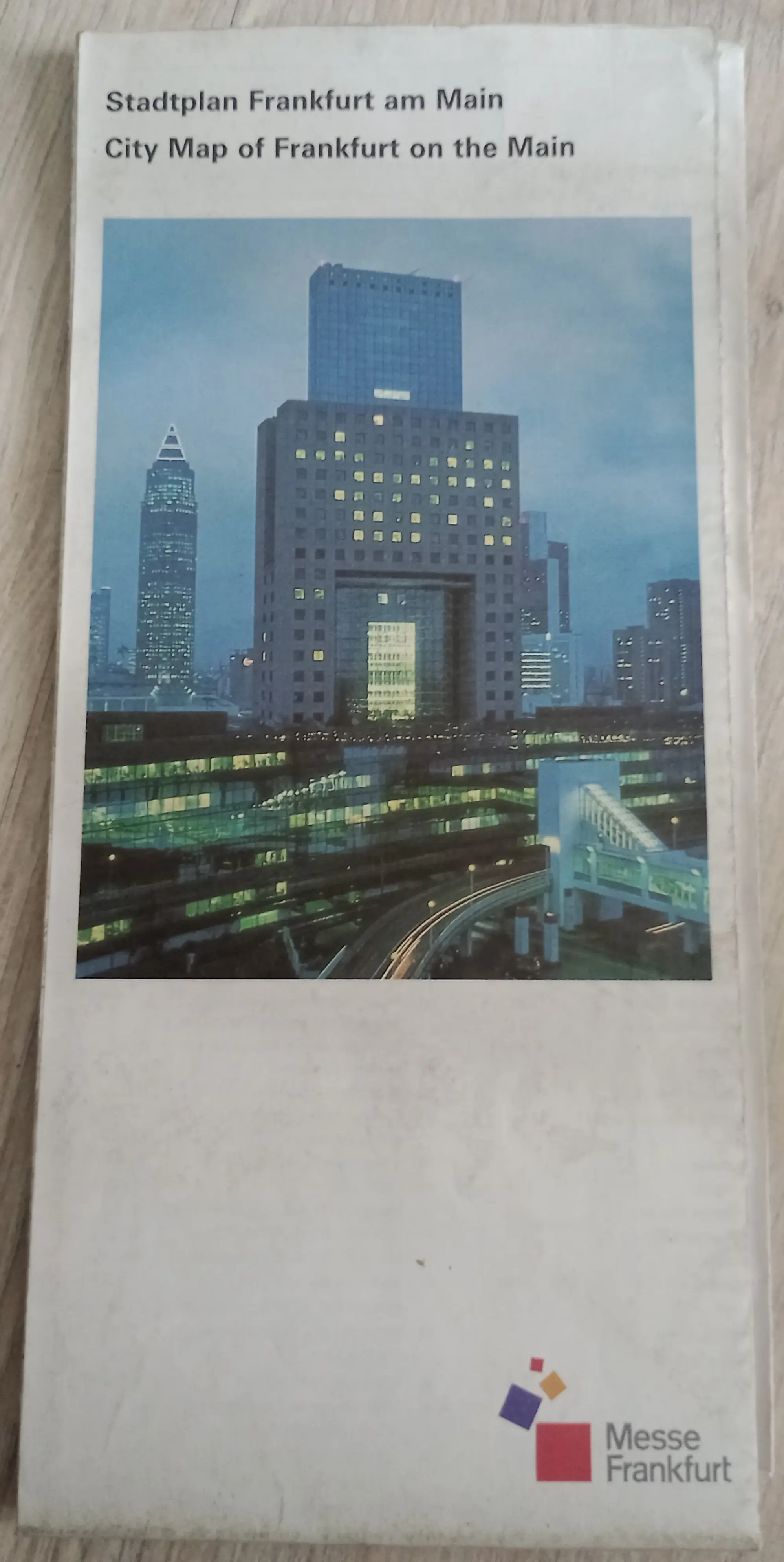
Map title
Map context
Published: -
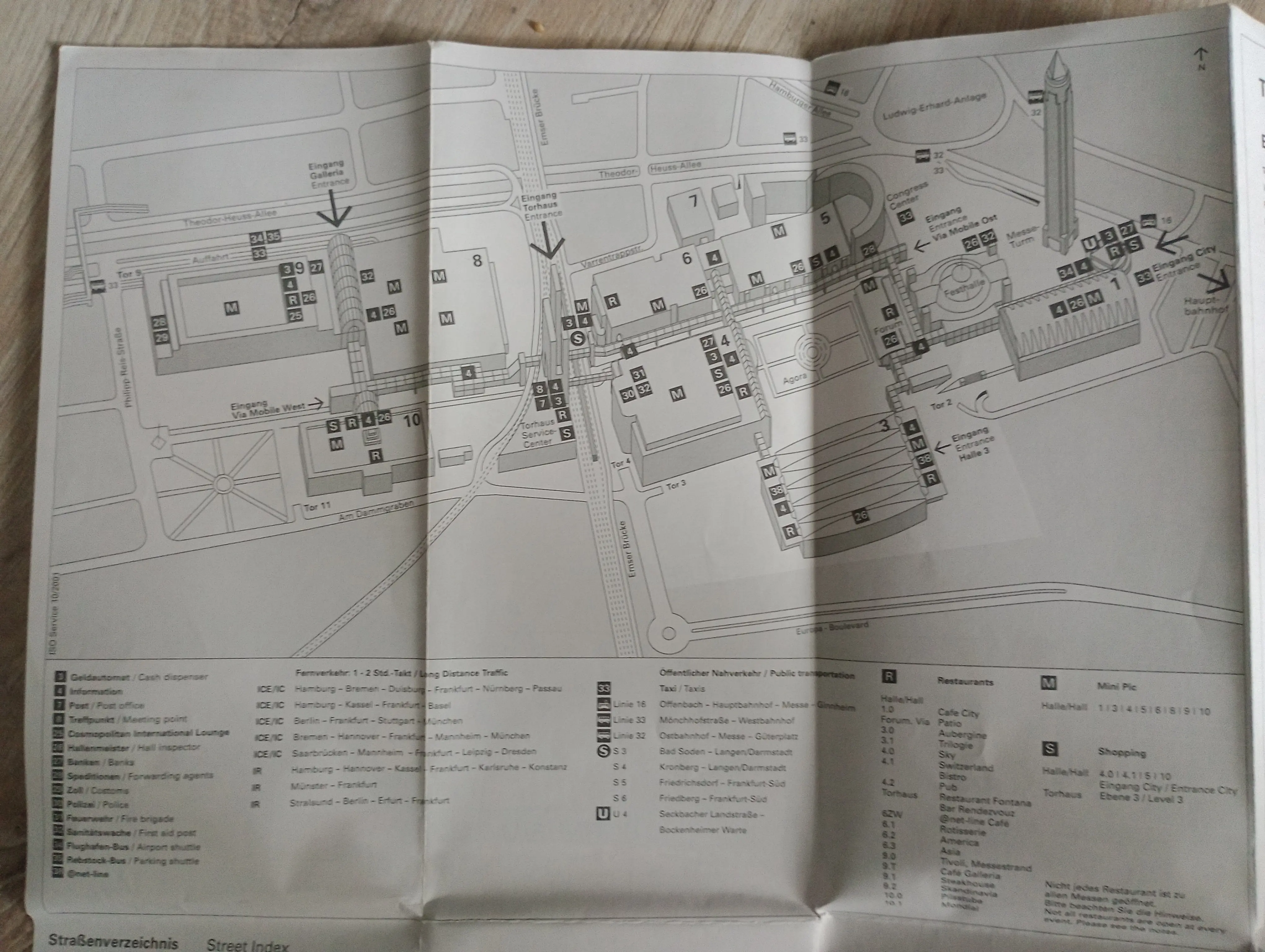
Map title
Map context
Published: -
Map title
Map context
Published: -
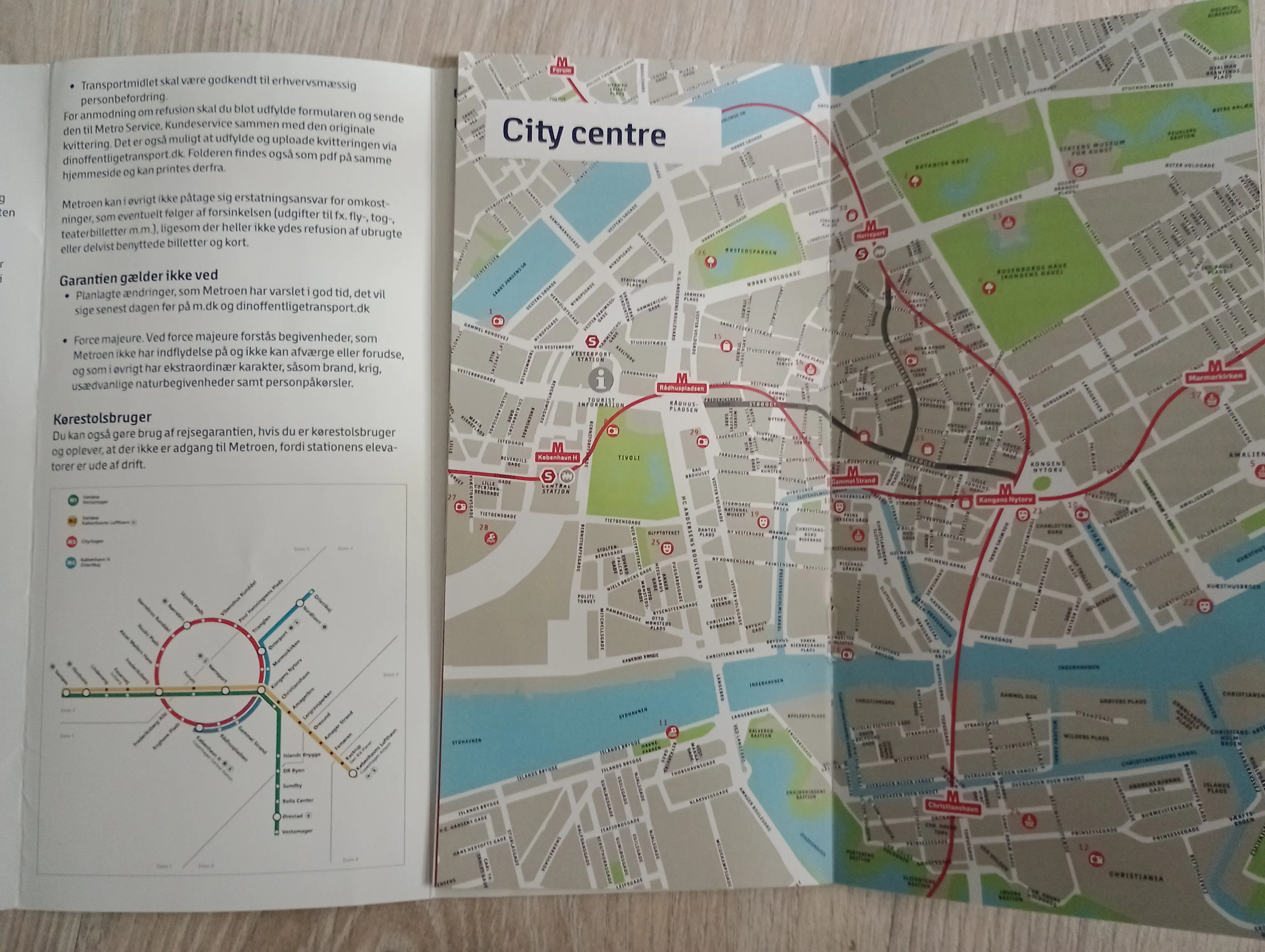
Copenhagen and Malmo
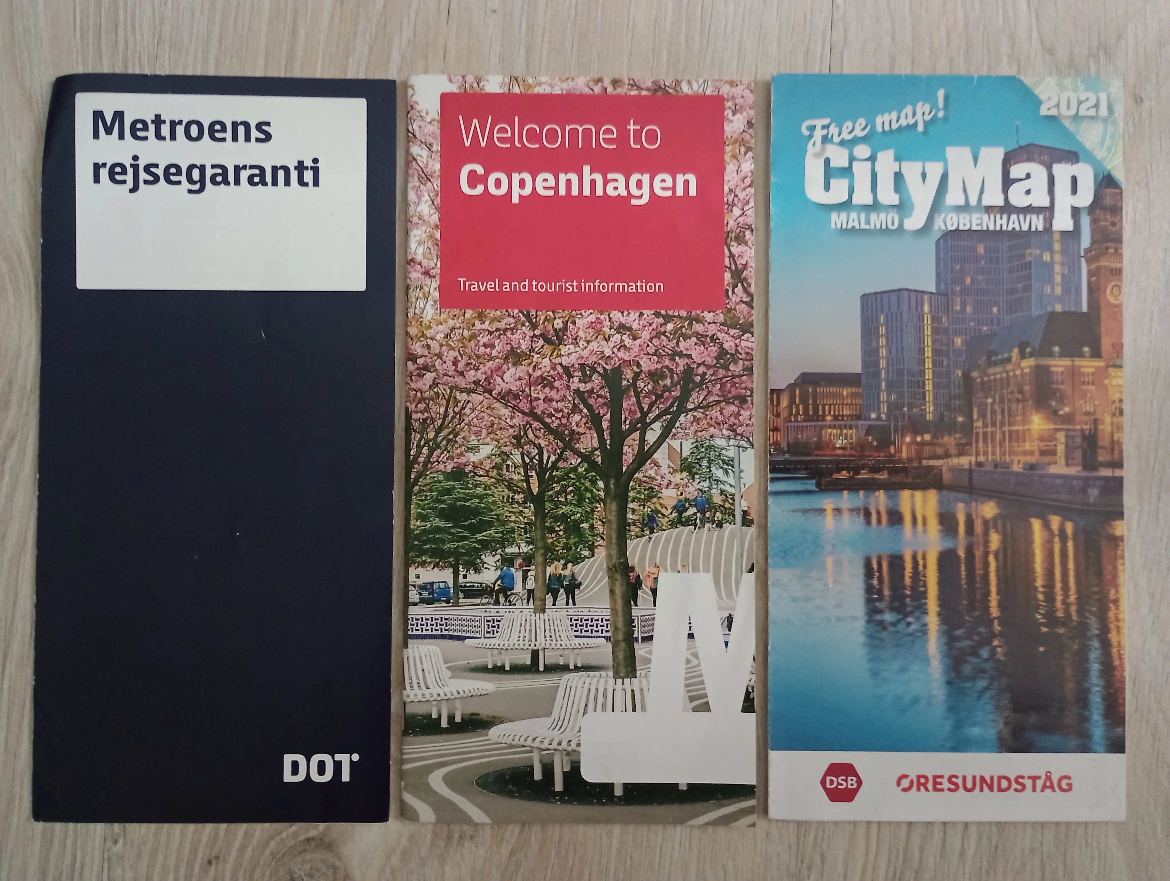
Free maps of Copenhagen and Malmo
Map context
Published: -
Free maps of Copenhagen and Malmo
Map context
Published: -
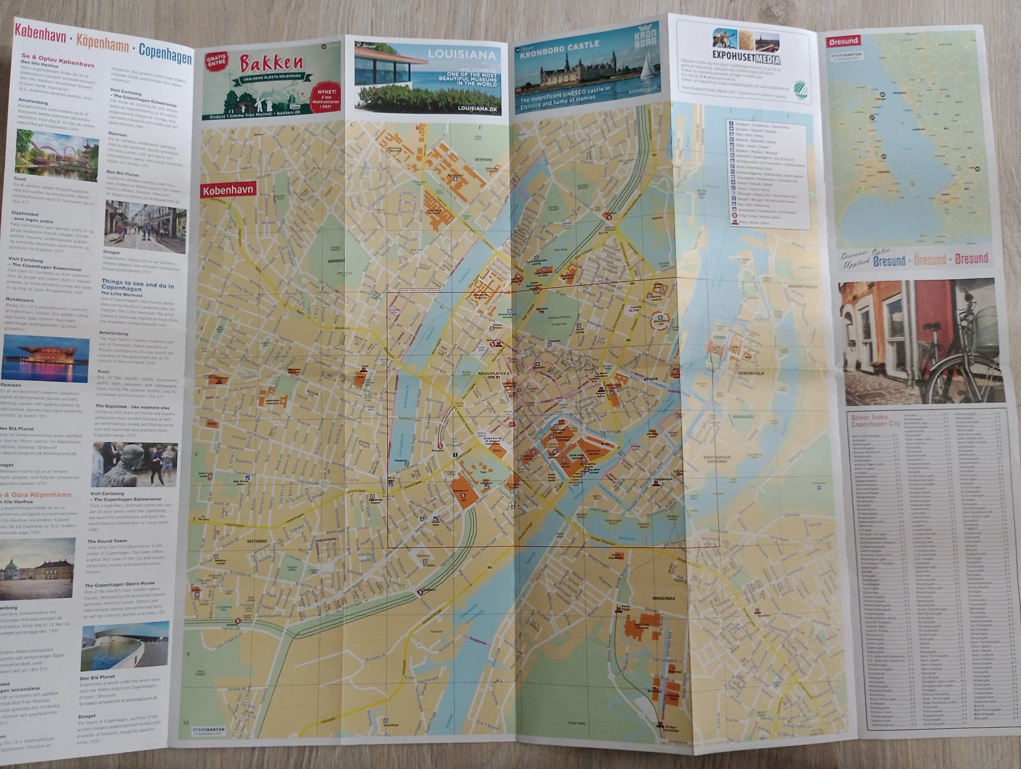
Large map of Copenhagen
Map context
Published: -
Maps from the trip to Benelux
During my trips to the Parliament of European Union in 2018 I got a bunch of small flyer maps, the two of which was printed by our Polish guides specifically for that tour.
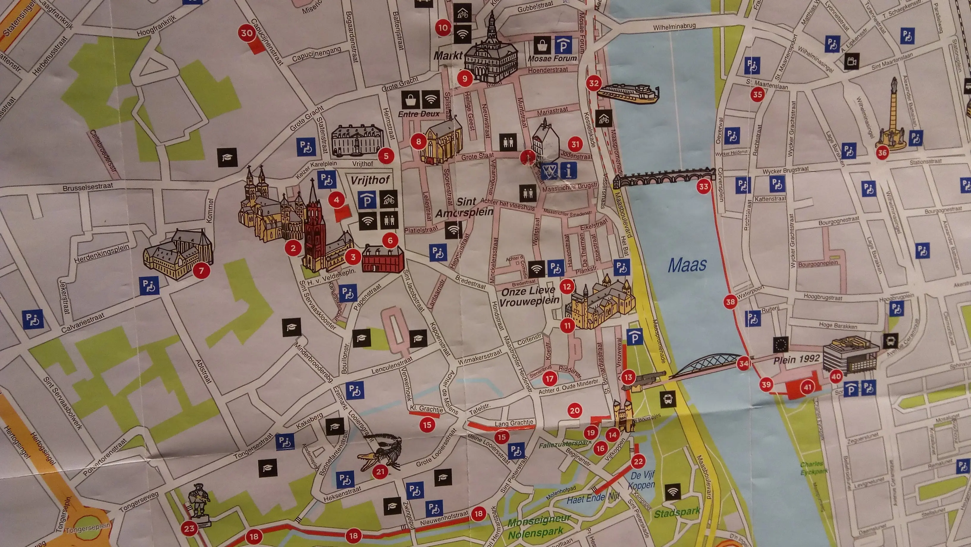
Maastricht
Map context
Published: -
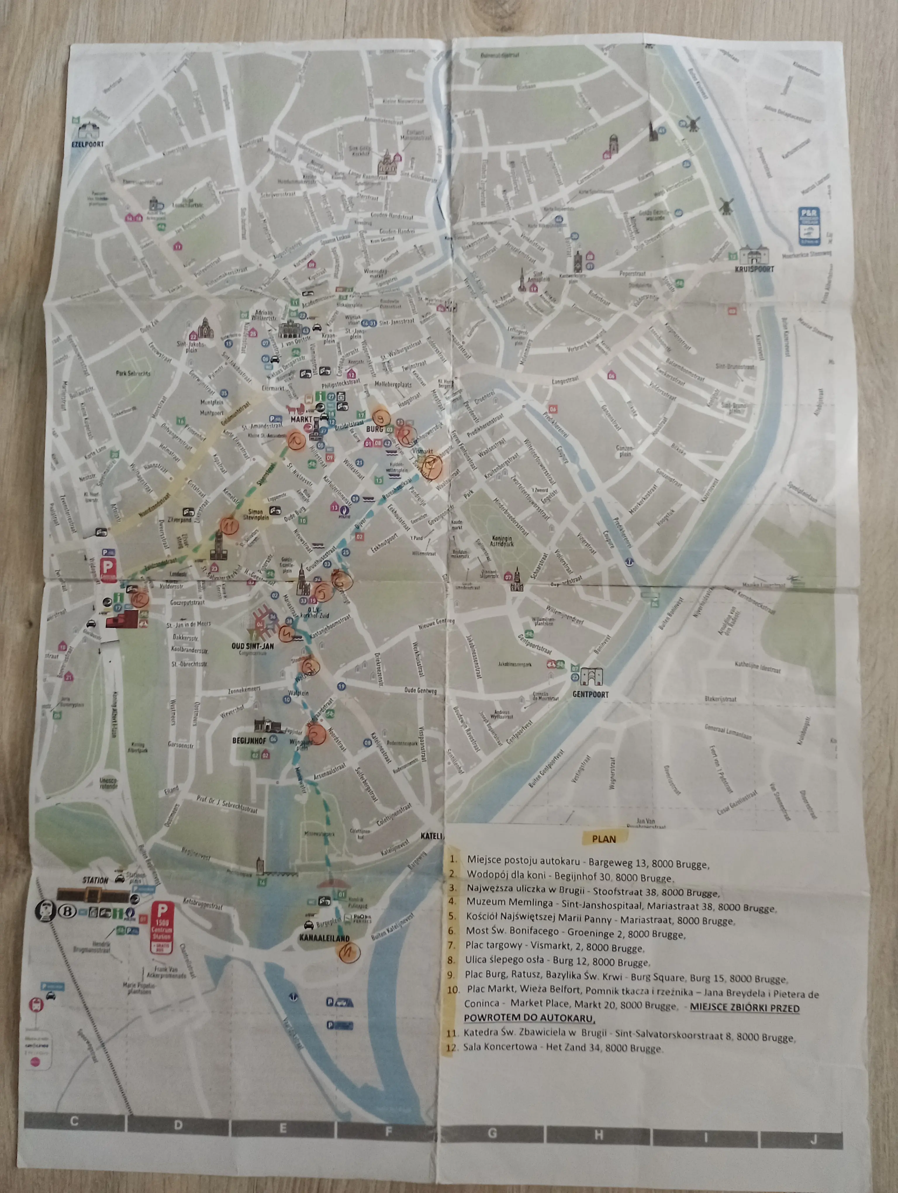
Bruges
Map context
Published: -
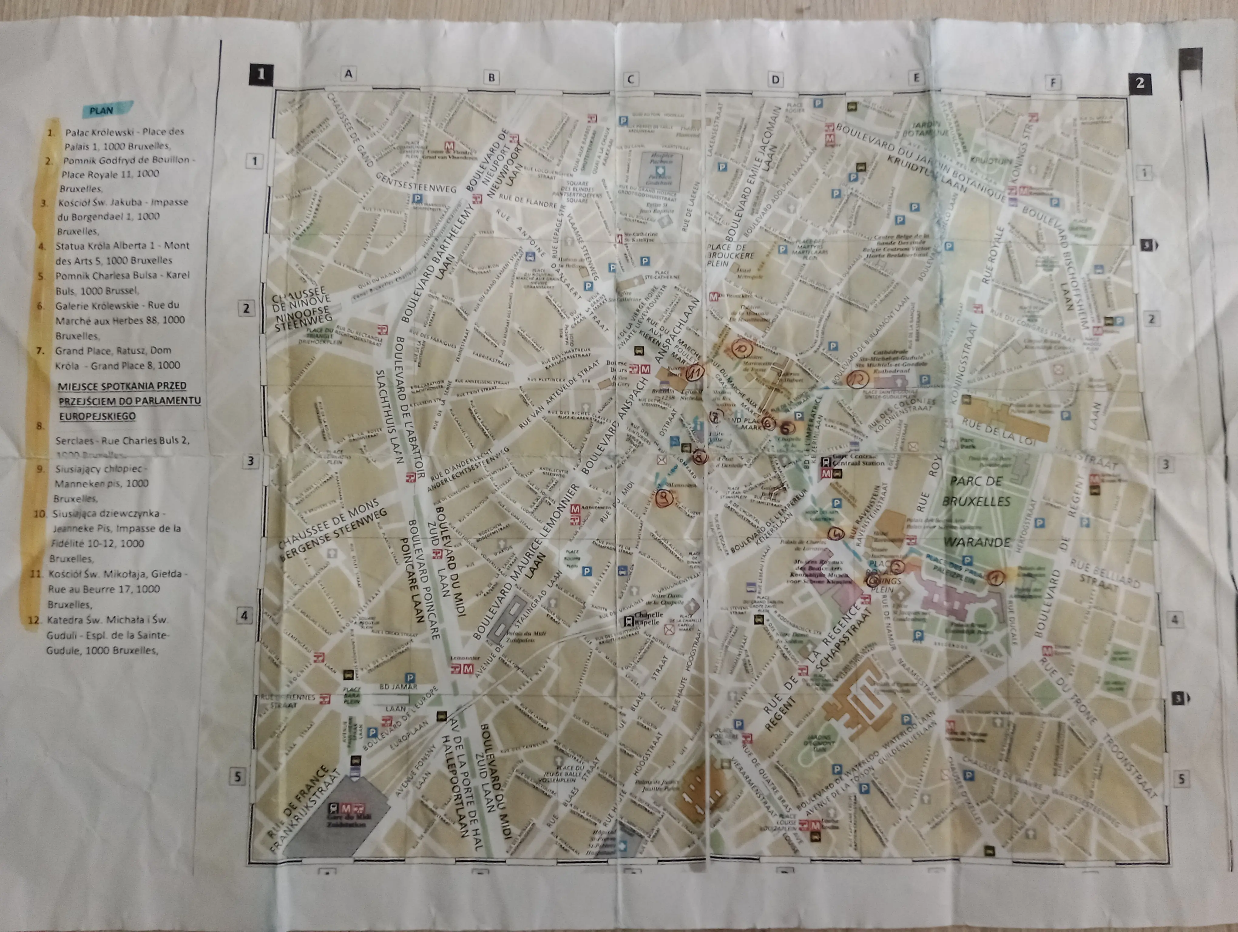
Brussels
The map is just a small map printed on A4 sheet of paper with marked points of sightseeing.
Published: -
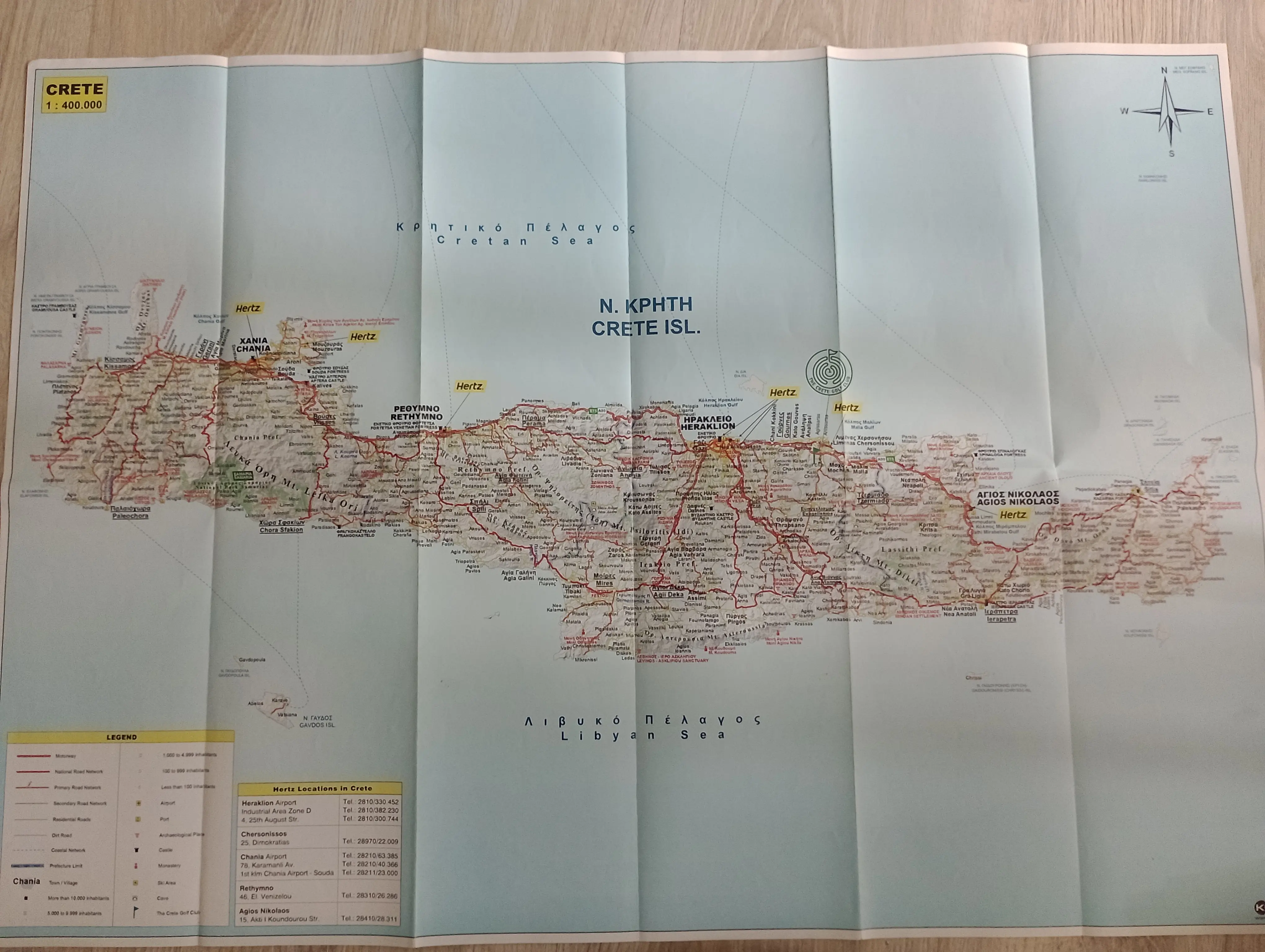
Crete
Map title
Map context
Published: -
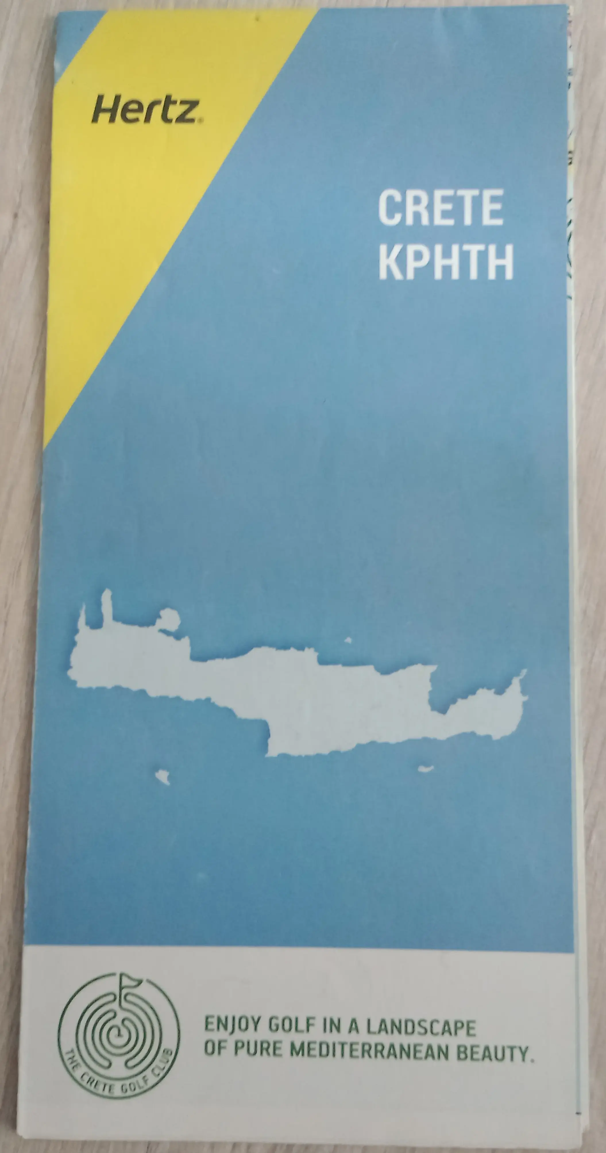
Map title
I got a single paper map from Crete, given for free when me and my friends were renting a car, we used GPS anyway, but that's nice.
Published: -
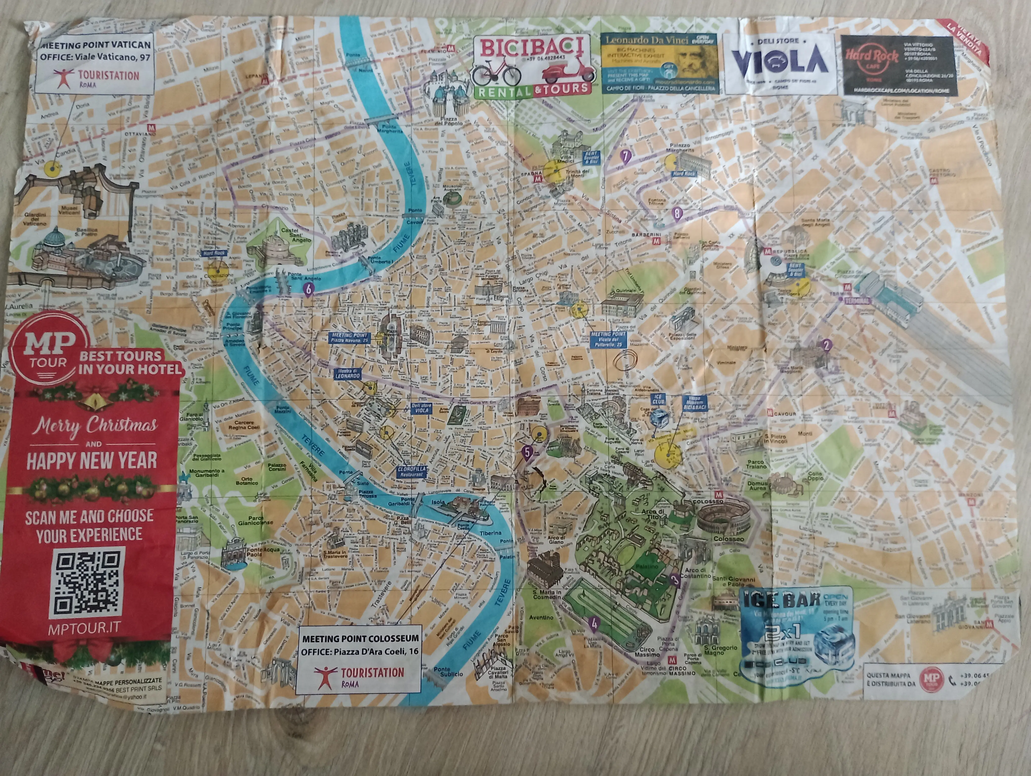
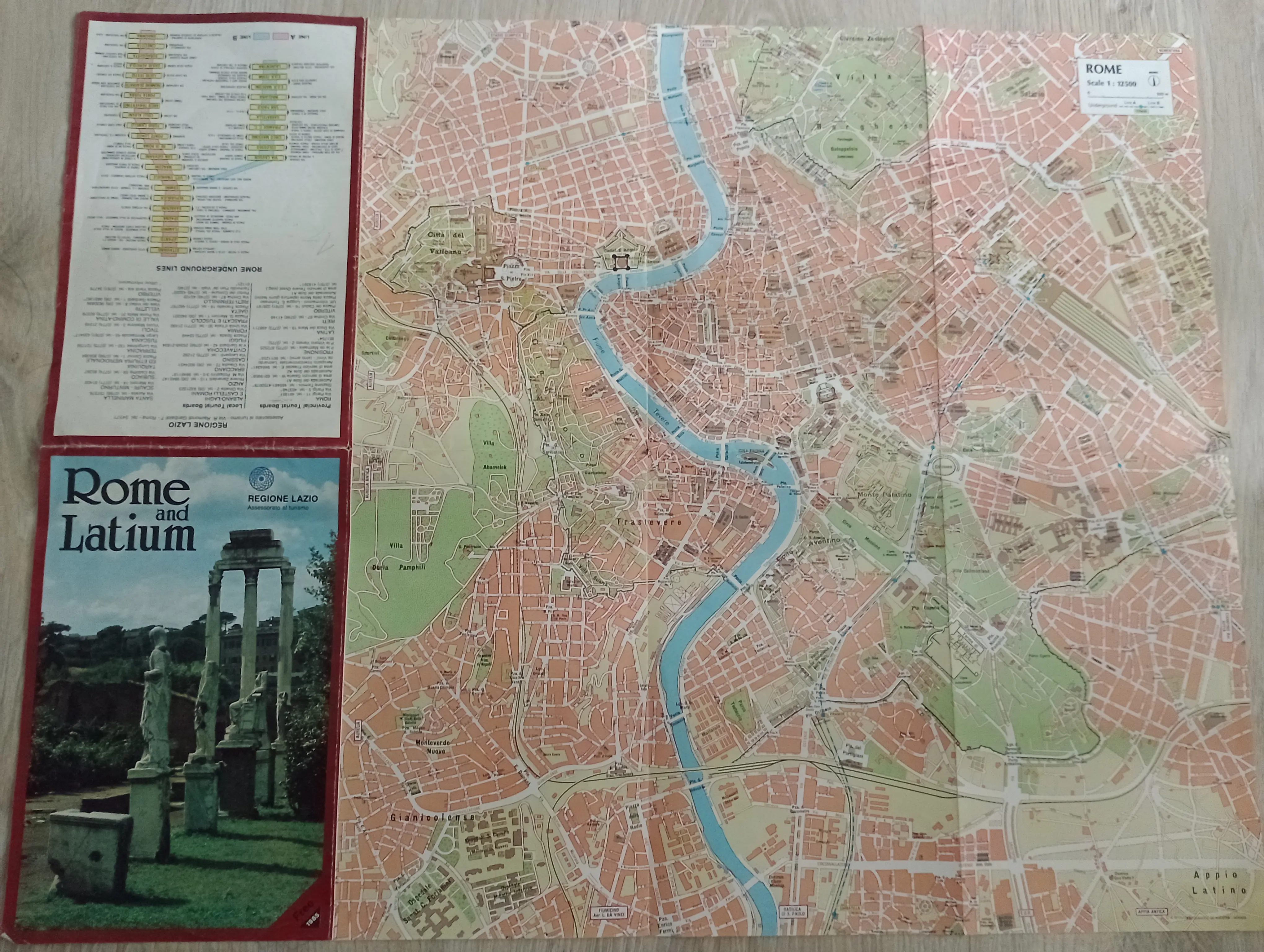
Rome
I got these purely by accident, they were literally laying on the streets.
Map title
Map context
Published: -
Map title
Map context
Published: -
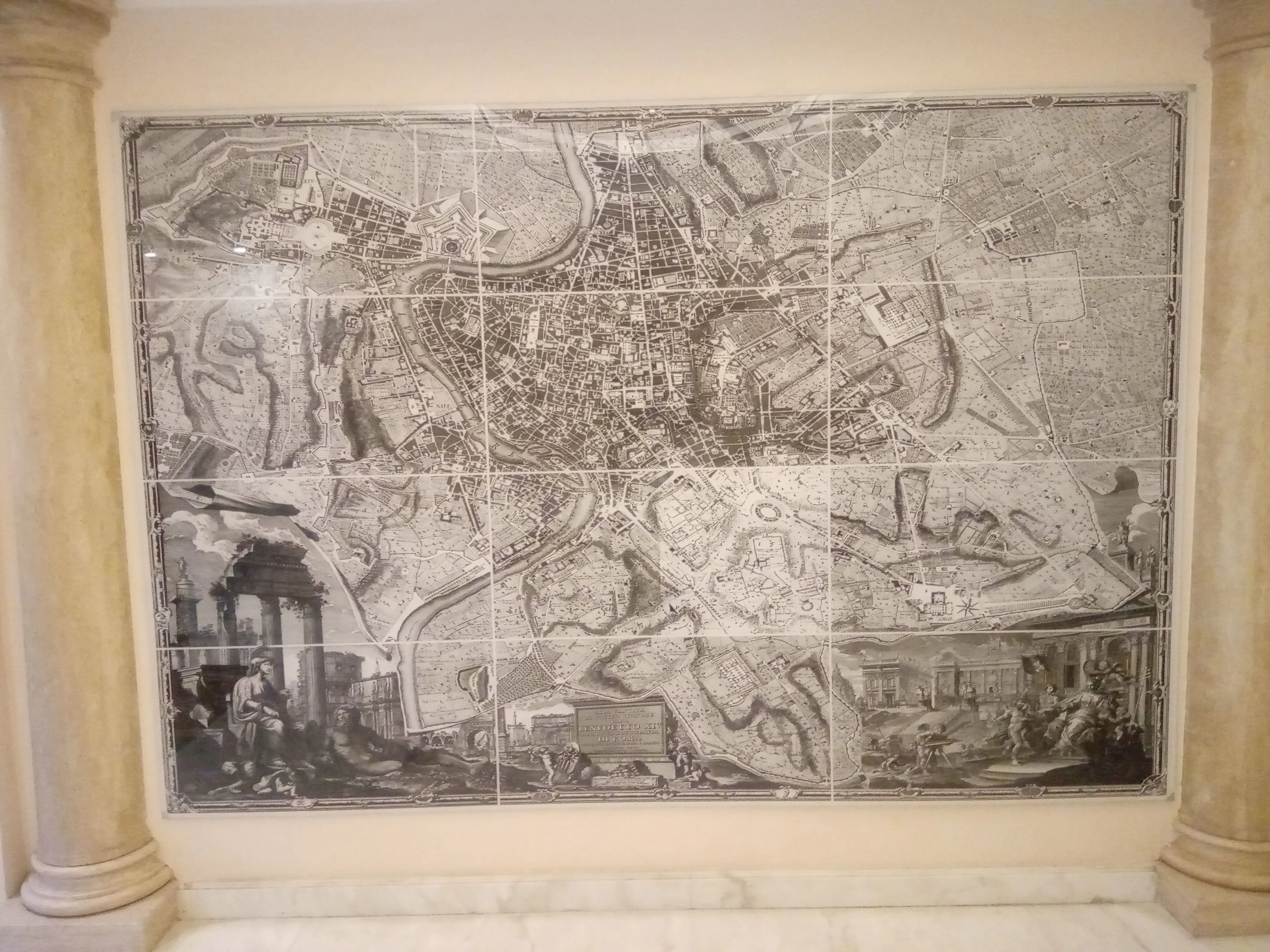
Bonus: Medieval map of Rome on the wall
Map context
Published: -
Venice
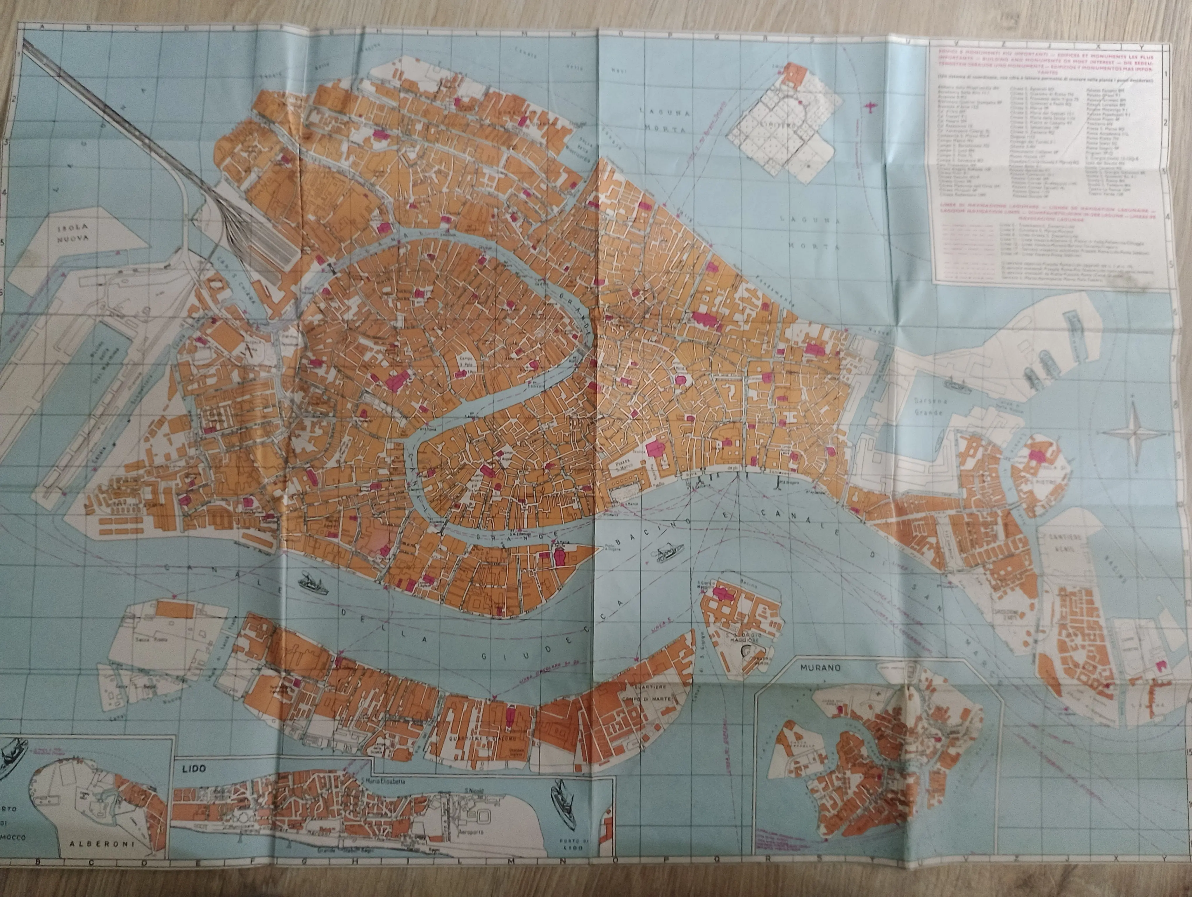
Map of historic Venice
Even though I was on a one day sightseeing of Venice, I bought this map in a bookstore in Warszawa (Warsaw) Śródmieście train station.
Published: -
Paris
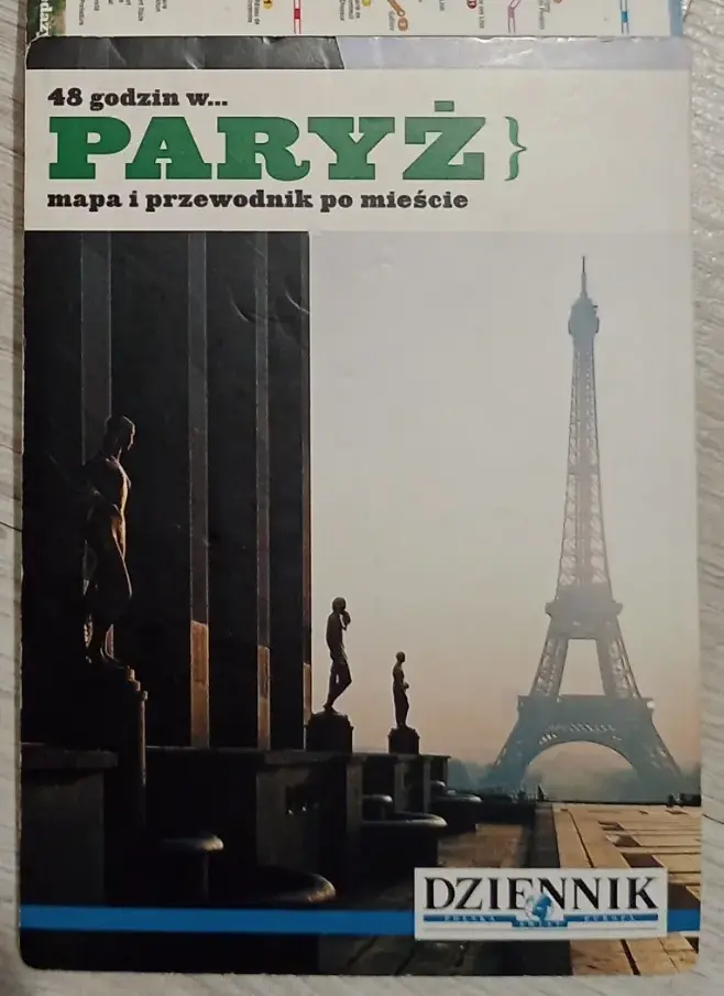
Map title
Map context
Published: -
Paris
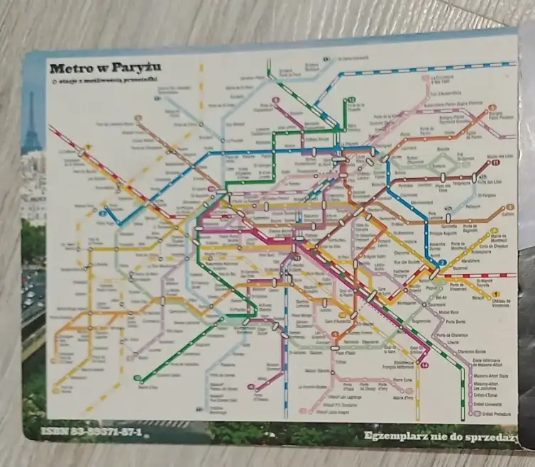
Map title
Map context
Published: -
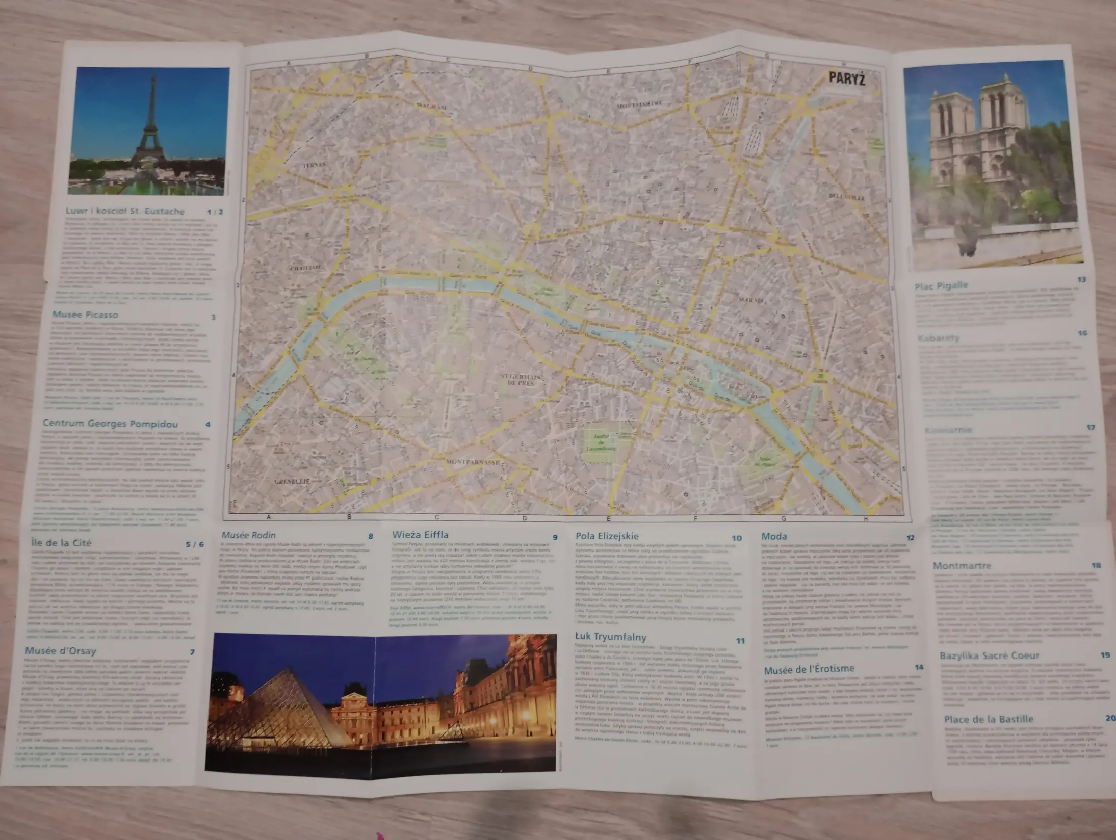
Map title
Map context
Published: -
Madrid
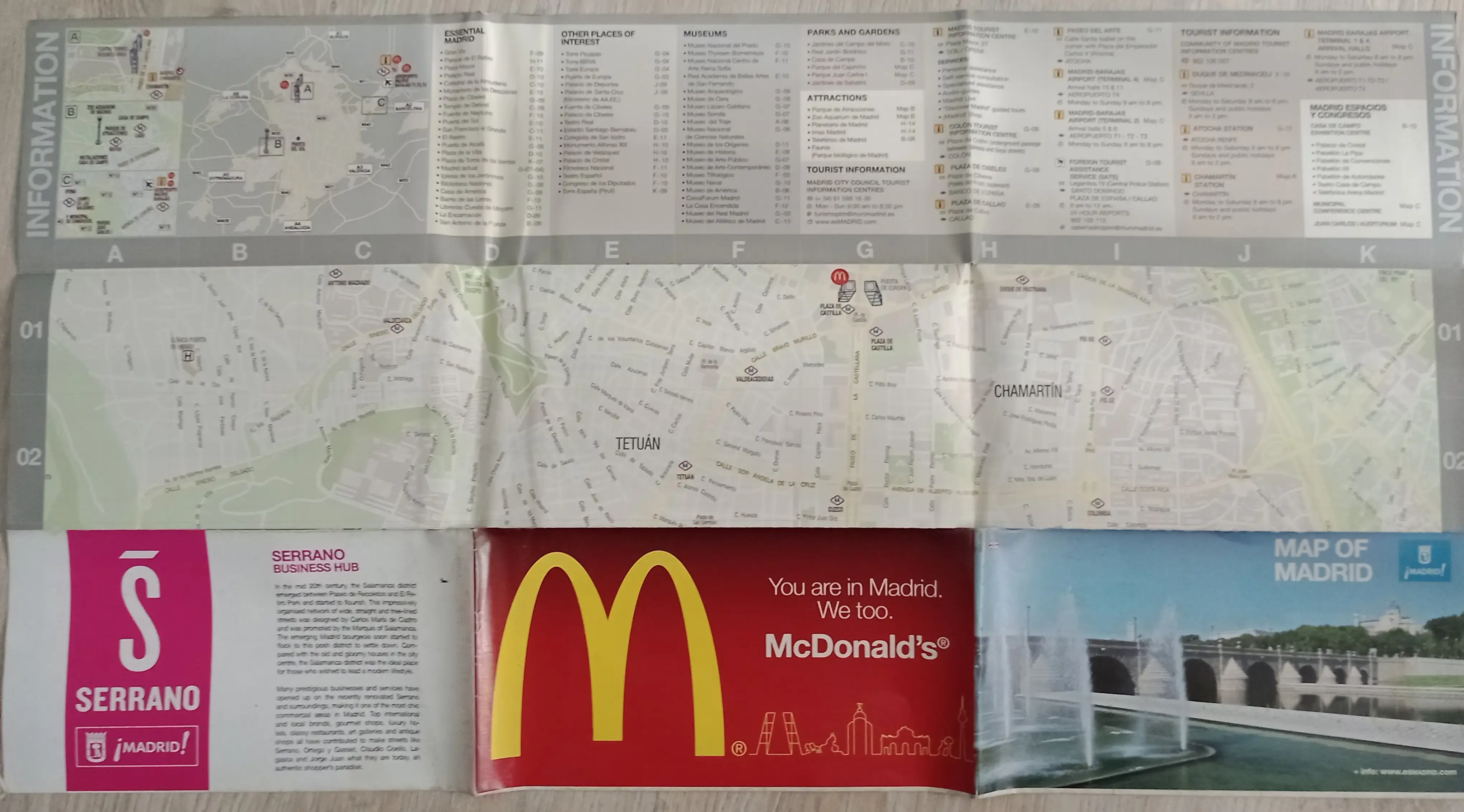
Map title
Map context
Published: -
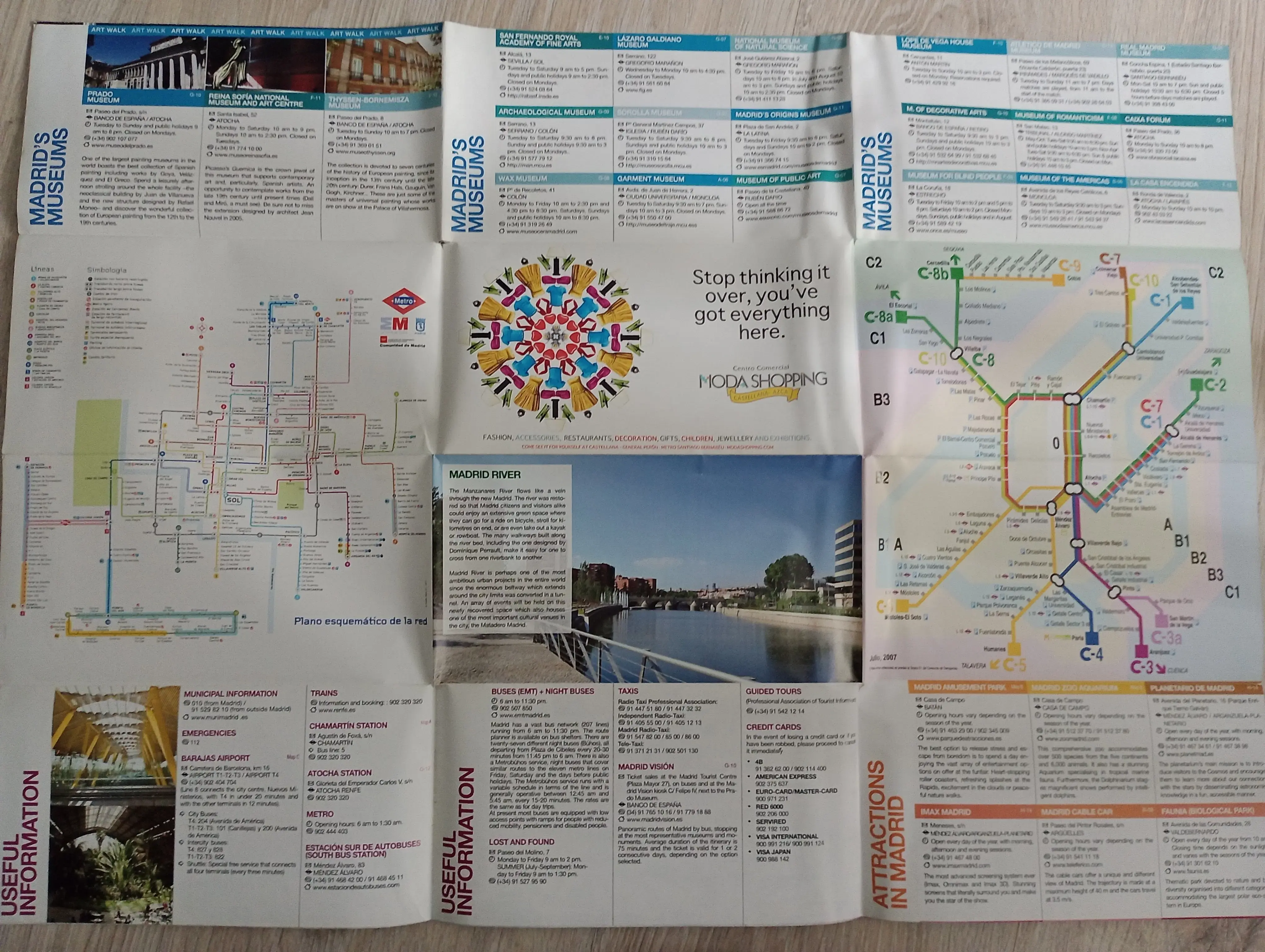
Map title
Map context
Published: -
(North) Macedonia
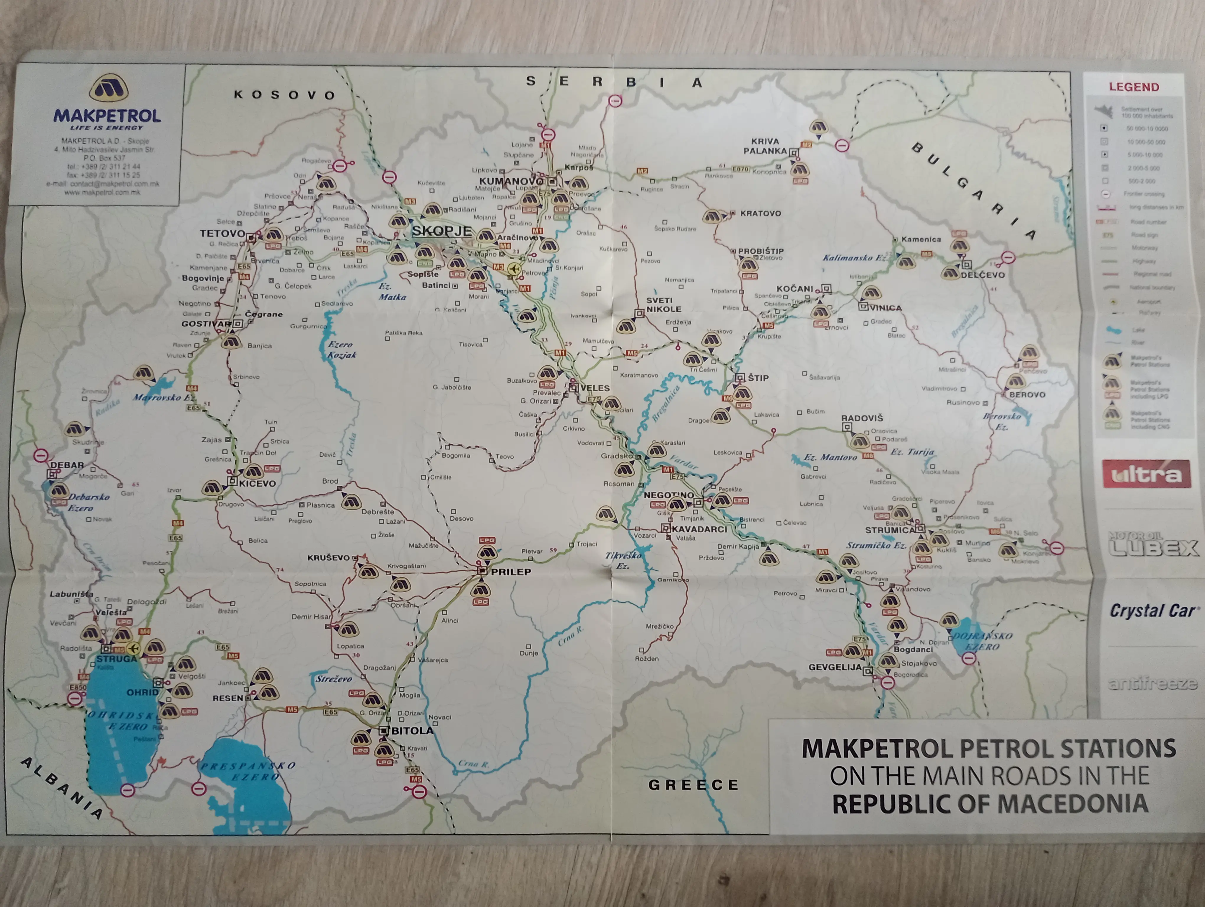
Map of (North) Macedonia from Makpetrol gas station
I was in Macedonia a couple of times, but just as a drive through to Greece and Bulgaria. That free map is my only souvenir from that country, but I wish I could some day visit, now called North Macedonia, to specifically check out its interesting places like Lake Ohrid or bombastically renewed in neohistoric style, the capital city of Skopje.
Published: -
My maps of places in USA
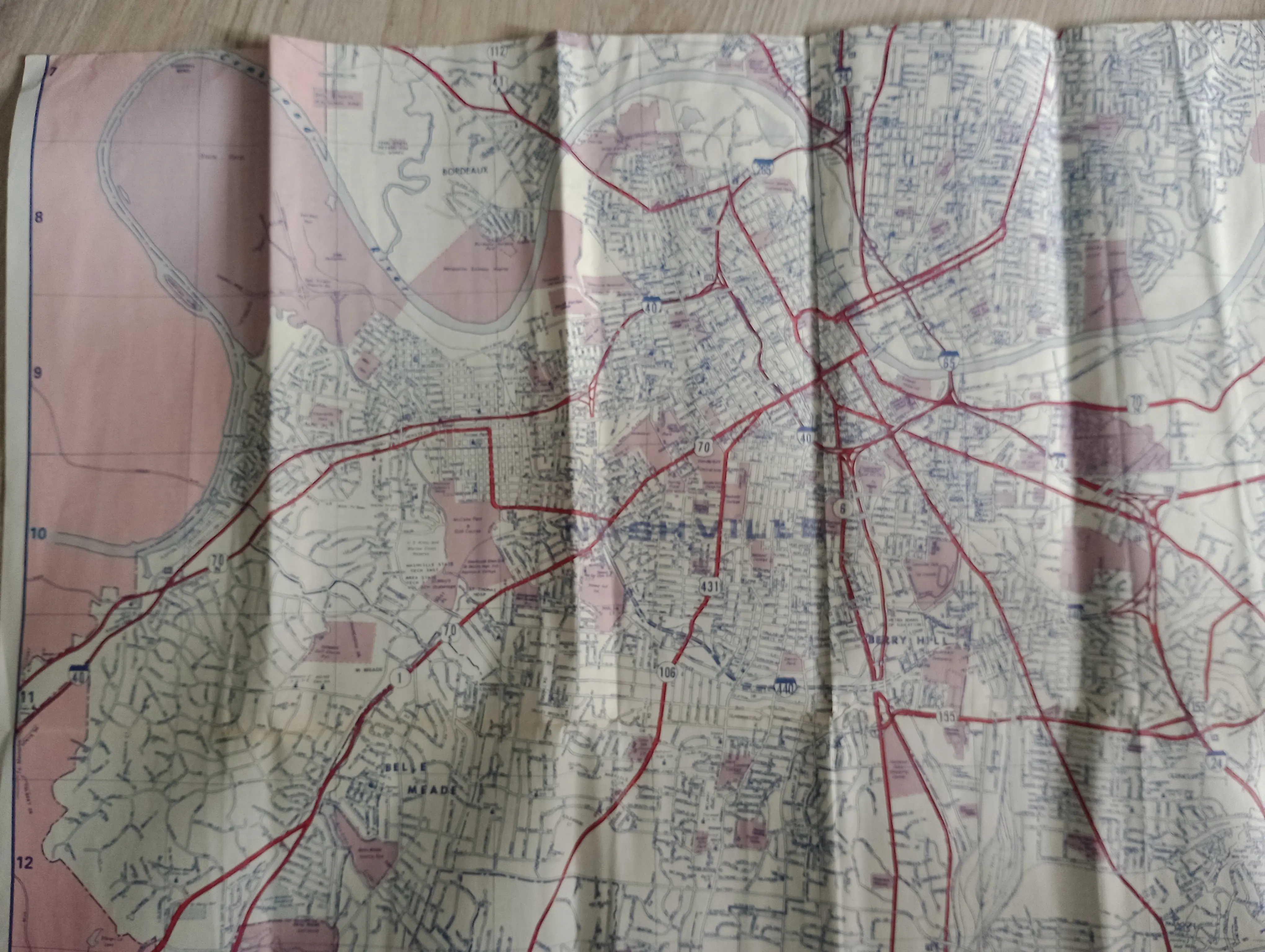
Nashville
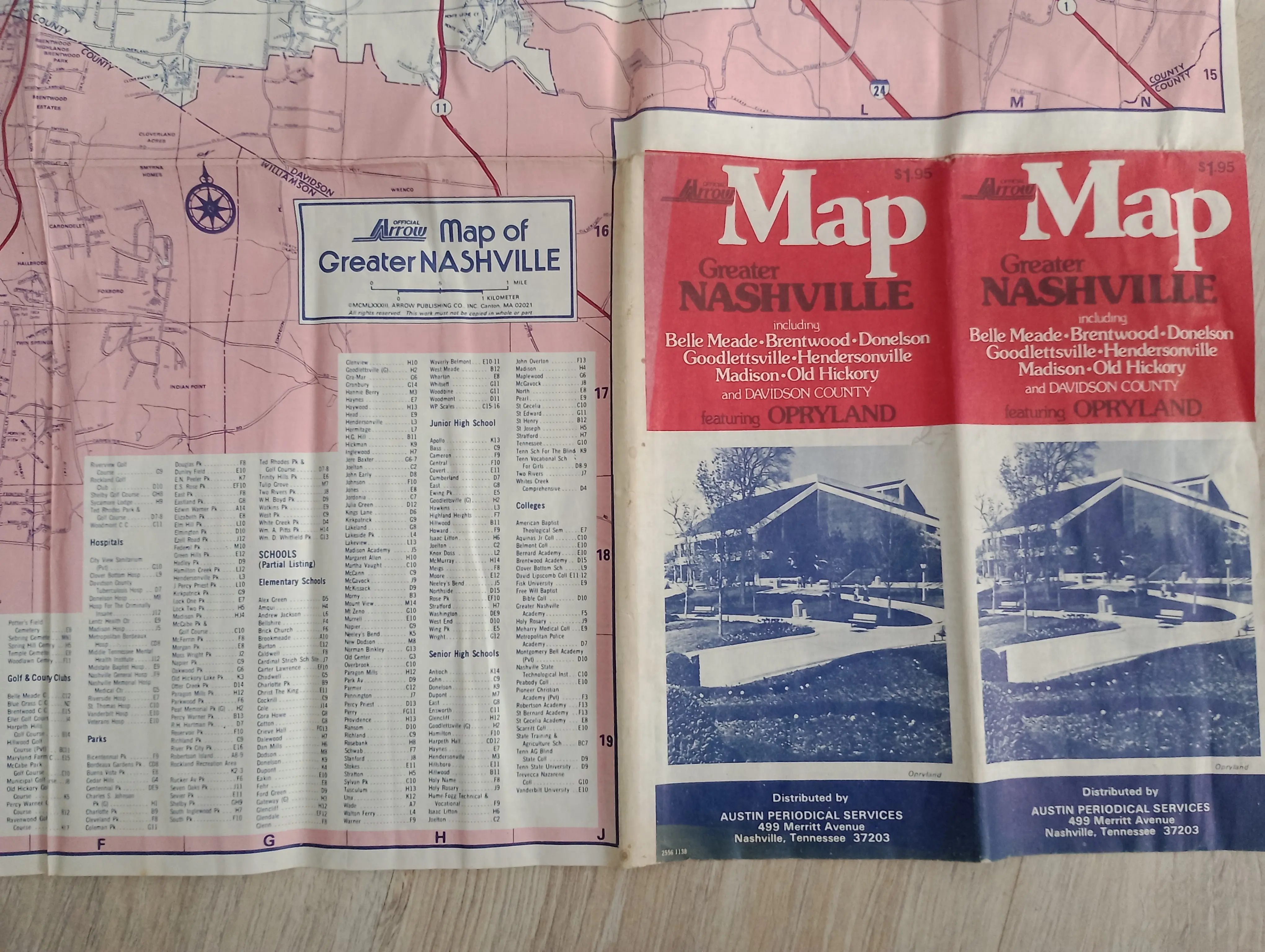
Nashville
I bought this map in a tiny bookstore with old books and magazines, in Warszawa Śródmieście (Warsaw Downtown) train station.
Published: -
Map title
Map context
Published: -
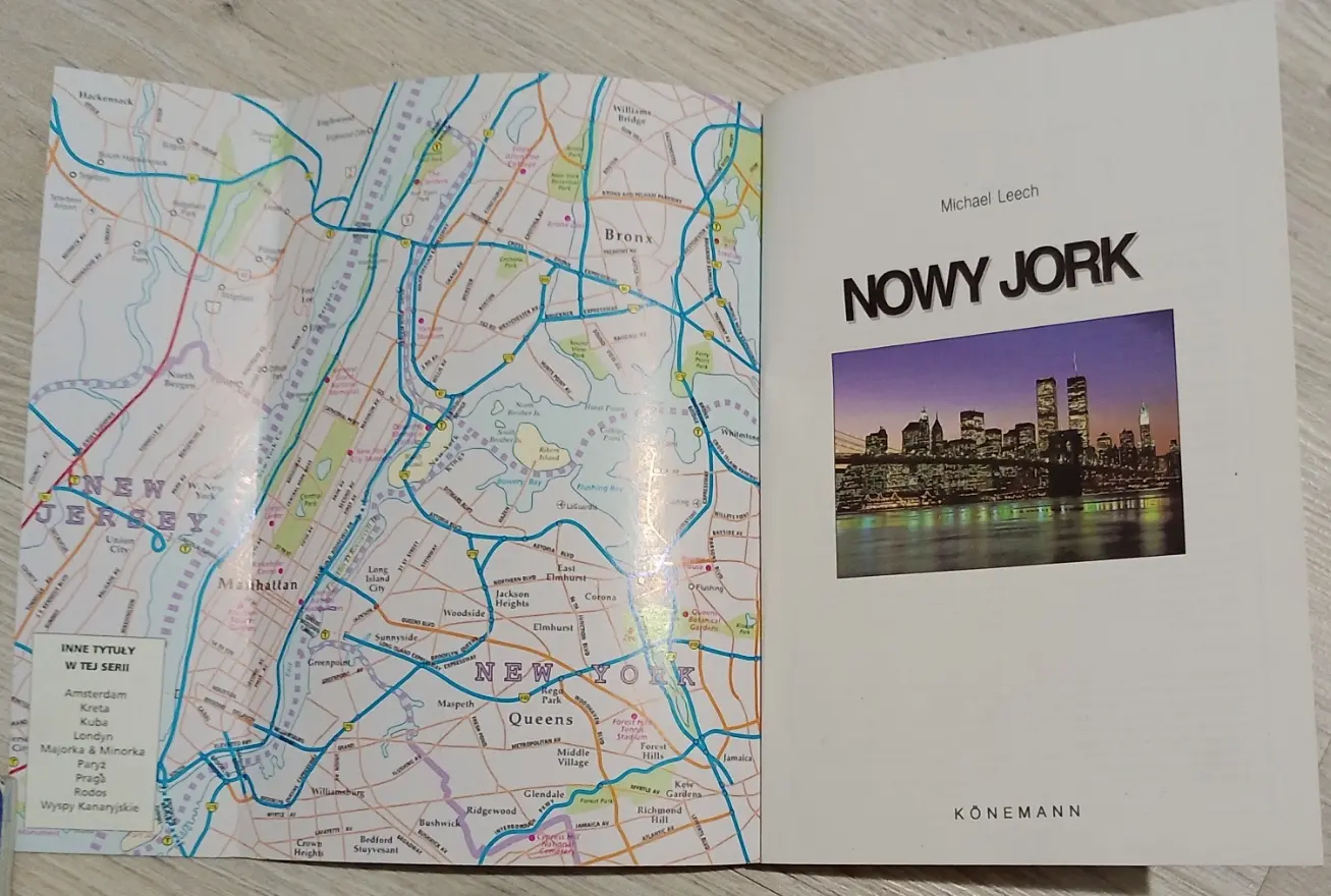
New York
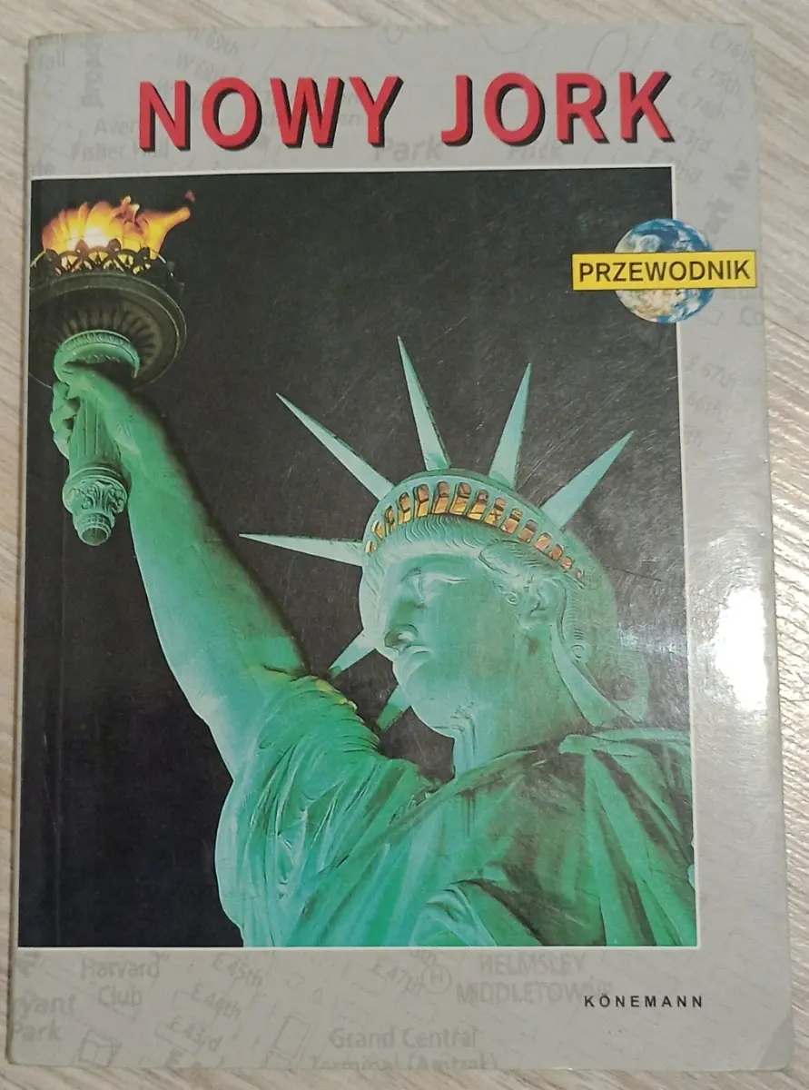
Tourist guide of New York
Published: original version in English - 1997, translated revised version in Polish - 2000
Tourist guide of New York
I begged my dad to buy me this old guide in about 2004 even though flying to New York was never on the table any time soon. This tourist guide had separate large size roadmap of Manhattan and less detailed map of all the neighboroughoods, but I eventually gave it up to my sister that actually was going to stay in New York state for a bit.
As you can see, the WTC twin tower are still there on this guide.