Total number of planned maps: a lot!


Maps from 2025
Hello 2025, it's time to make something new! The new series of maps of places that I've visited with clickable elements are in preparation. Map of the region of Zamość and map of visited places is almost done, the rest are planned. I hope this section is going to be huge!


NationStates Maps
During the infamous pandemic I decided to find online community that also have similar obscure interest of making fictional maps. I used to have at least one nation in NationStates since 2013, but the year 2020 when I joined The Assembly of Nations roleplay, was the first time when I was making collaborative, exclusively digital maps but unfortunately not interactive.


Maps from 2010-2020
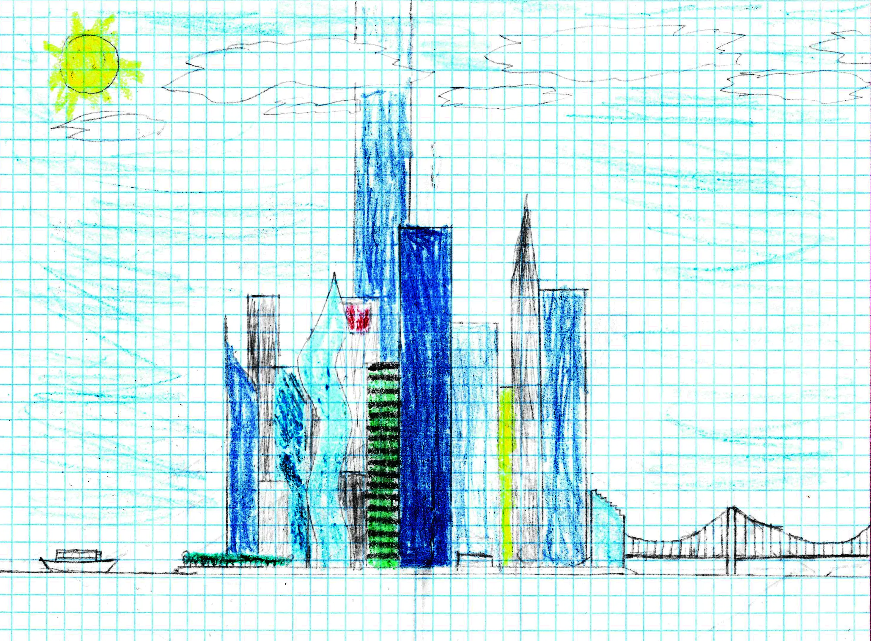
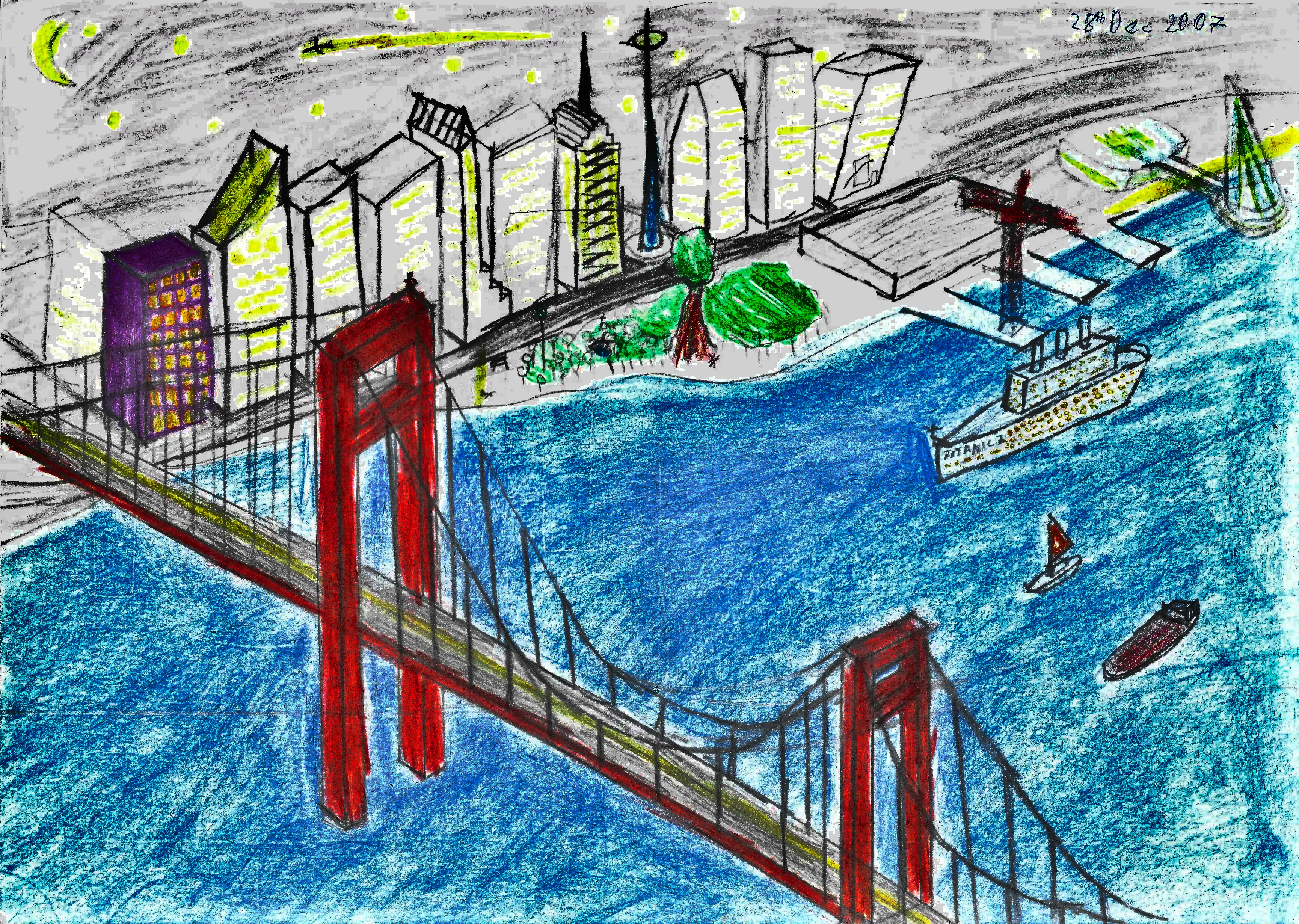
During that time my style get much more consistent thanks to a bunch of large road atlases of that I diligently stared at. Majority of maps are made in scale 1cm to 2km, depicting metro areas and small regions. Those were my the most productive times and I'm still impressed how my imagination was robust. After 2015 as I get my personal laptop powerful enough to use some apps other than Paint I was making much less maps by crayolas and more with mouse.


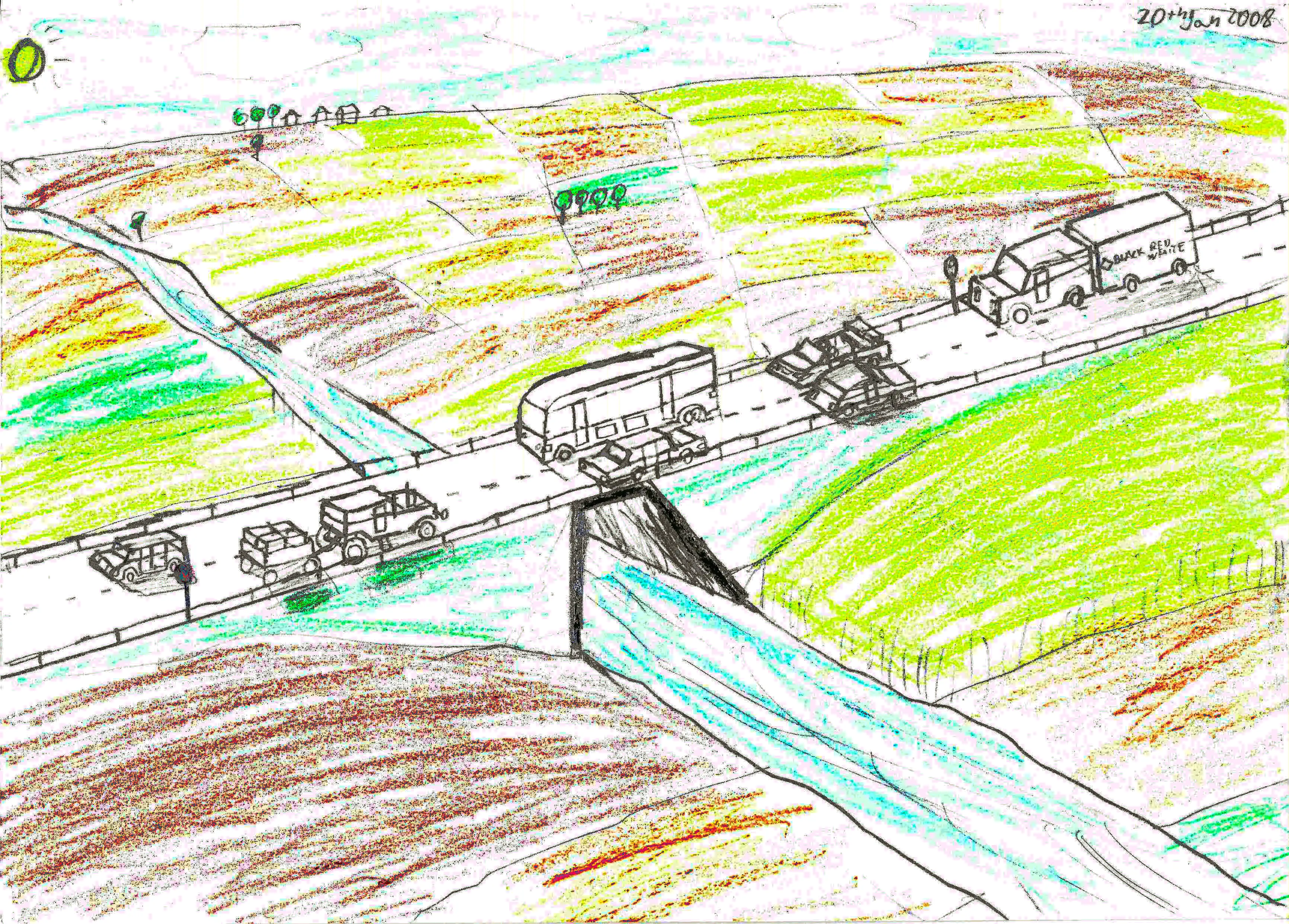
Pre 2010 maps
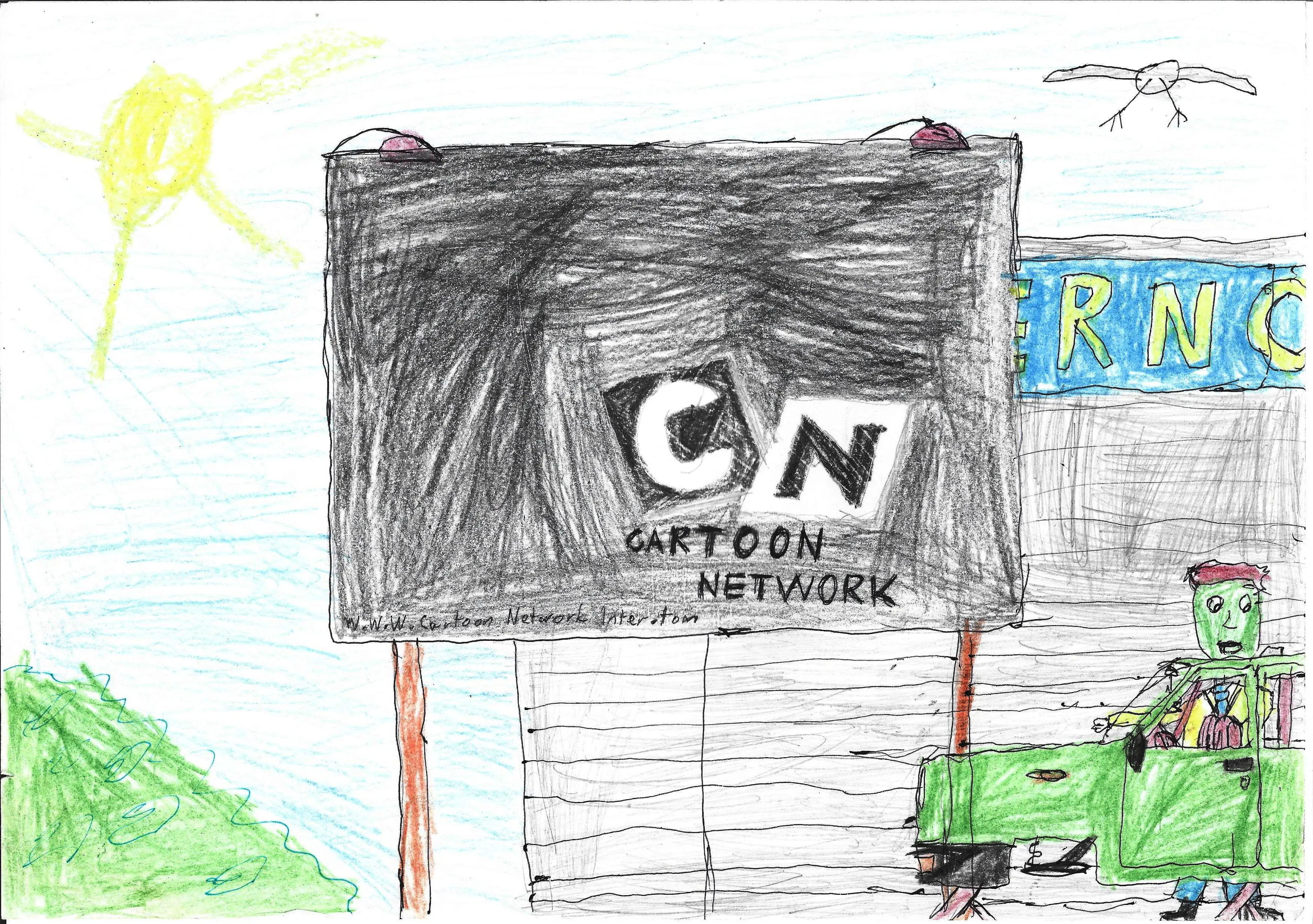
My oldest hand-drawn maps that survived all those years throughout clean-ups and move-outs. They might be uncompleted, unrealistic, childish and most importantly: cringy. Yet somehow still got some nice ideas and fun visuals, enough at least to publish. I still have some unpublished scans of maps, but are mostly too incomplete or not interesting enough.


Maps of the real world and Q&A section
I've made many maps of real world locations, as I'm a huge map nerd and know the map of Earth by heart with many details. The thing is not that many of those maps are good to be seen publicly and often tend to be made lazily, this page answers why.


My Collection of Paper Maps
Section incomplete - description are not yet written
For a long time printed maps and atlases were my key source of geographic knowledge and I collected many of them.
Not Just Maps
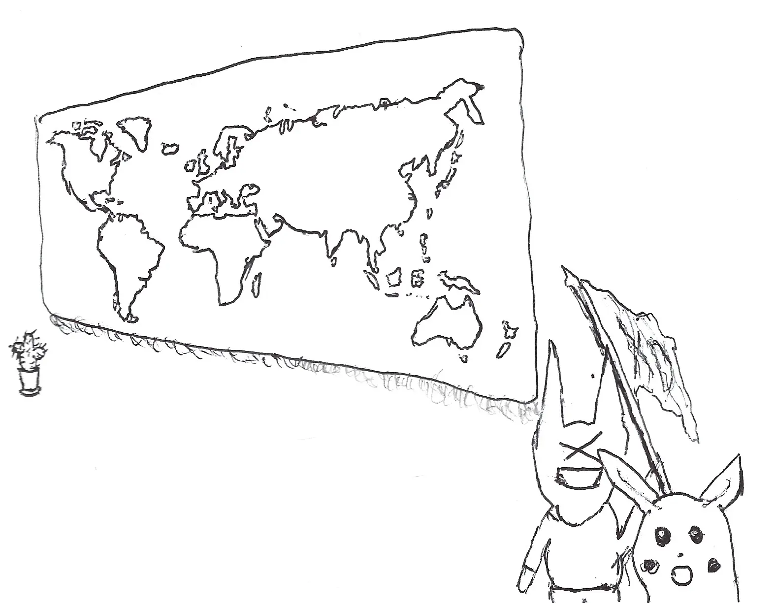
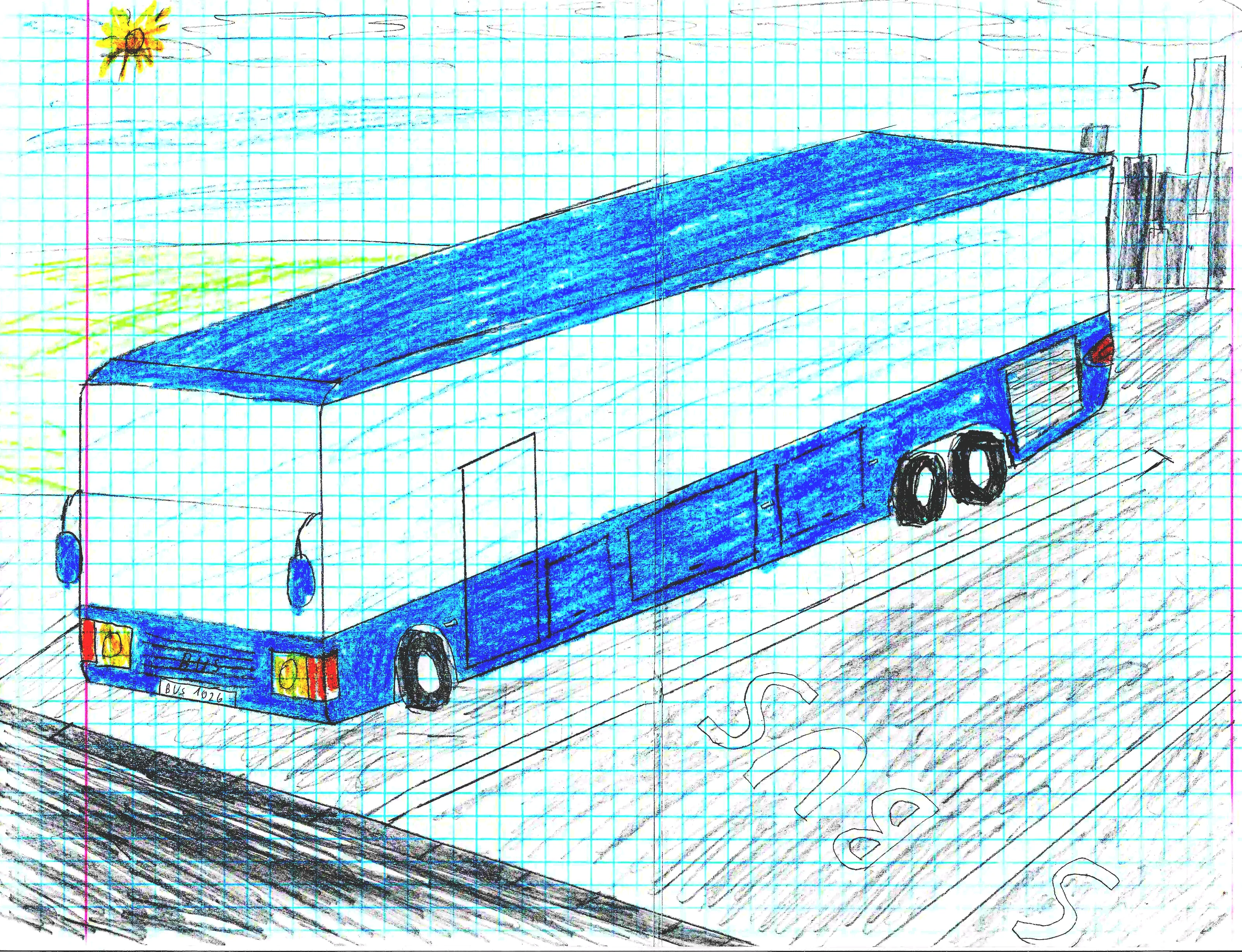
I drew some other stuff than maps, definitely not that good or interesting, but I'll post some of my doodles anyway just to give a glimpse of why maps are the what I can draw the most.