There is not that much here yet, but I have my old scans at hold and after some cropping and color enchancing for visibility I will put show off my silliest stuff!
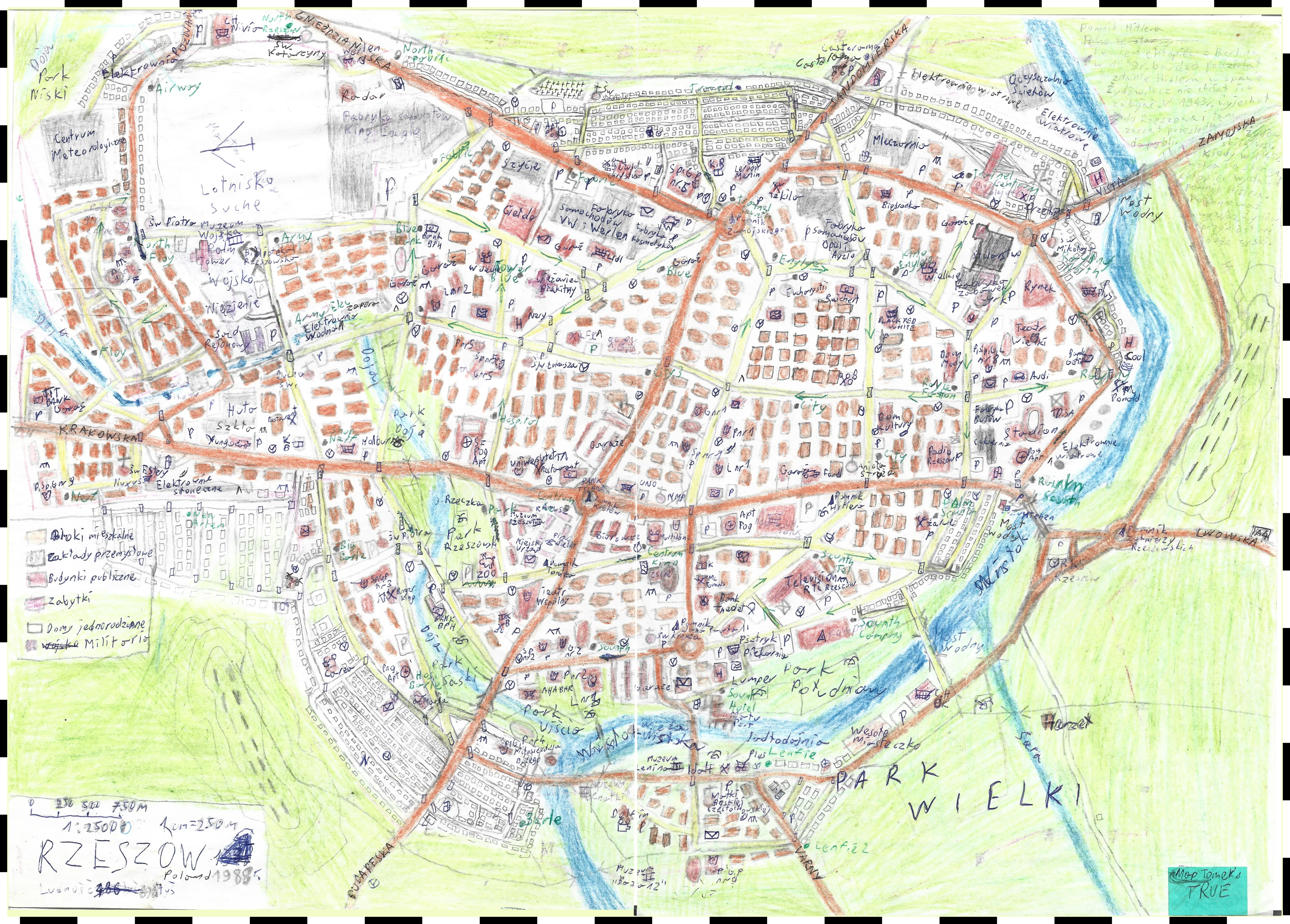
City of Rzeszów (fictional)
That's the big one, fully complete and fully made-up map of a fictional city named after the real Rzeszów, almost 200 thousand population city in southestern Poland. I love how goofy and impressive was that map af the time, so many criscrossed text, sticker "Map Tomek's TRUE" and that semi transparent legend on the left side. Oh and there is so many errors when it comes to planning, factories are way too close to residential areas and so on. If you're wondering, both on the eastern and southwestern edges of the map there are two hill in woodlands with mysterious stripes on it, it's a hill with letters like Hollywood, but for Rzeszów 🤣
Created:
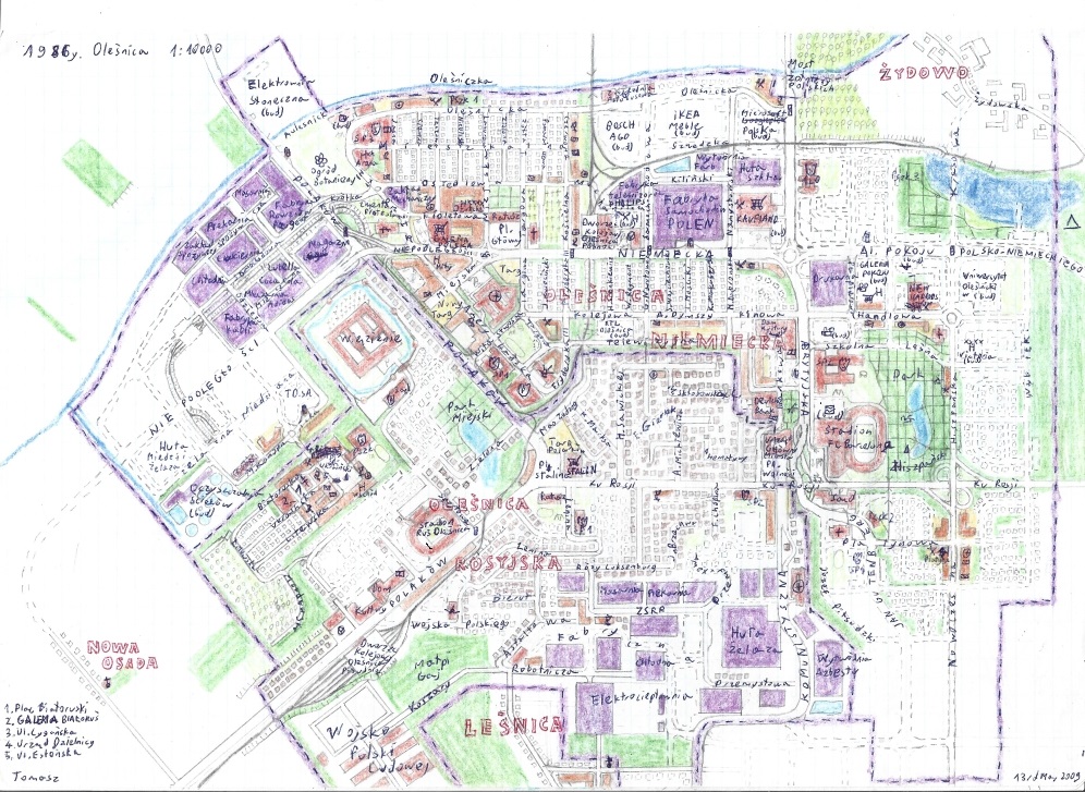
City of Oleśnica (fictional)
Well, this map is completely fictional, except the name Oleśnica which is a real town and it's located in western Poland near Wrocław (or Breslau in German). That city plan is not based on the real topography of Oleśnica but it shares the geopolitical context. In alternative history Oleśnica, after World War II was divided between Russian and (East) German occupation zones.
Created: (fun fact, the original date is with typo: 13rd May 2009)
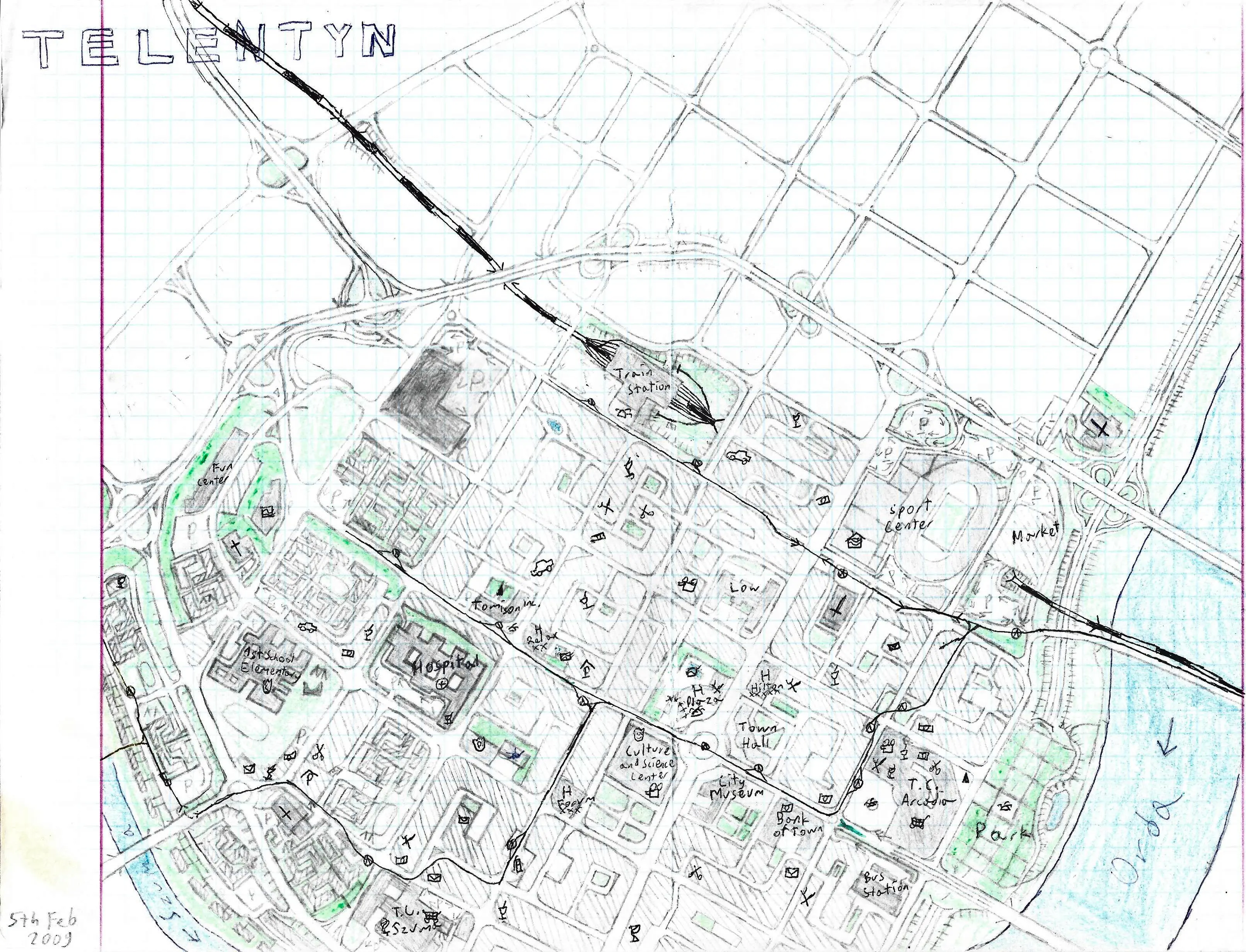
The Town of Telentyn
Yet another city plan of a fictional Polish location, next to fictional (Orda ≠ Odra) river, in this case the names are made-up but sound Polish. Even though the places in that town are in English to make the map look more international and prestigious. I don't recall what the building called "Low" in the center meant to be, I guess it was a court or a law firm (Low ?= Law), I don't know, some silly mistake. The more I look at it, the more errors I see. Given the scale 1 cm - 100 m, that highway has to many exits.
Created:
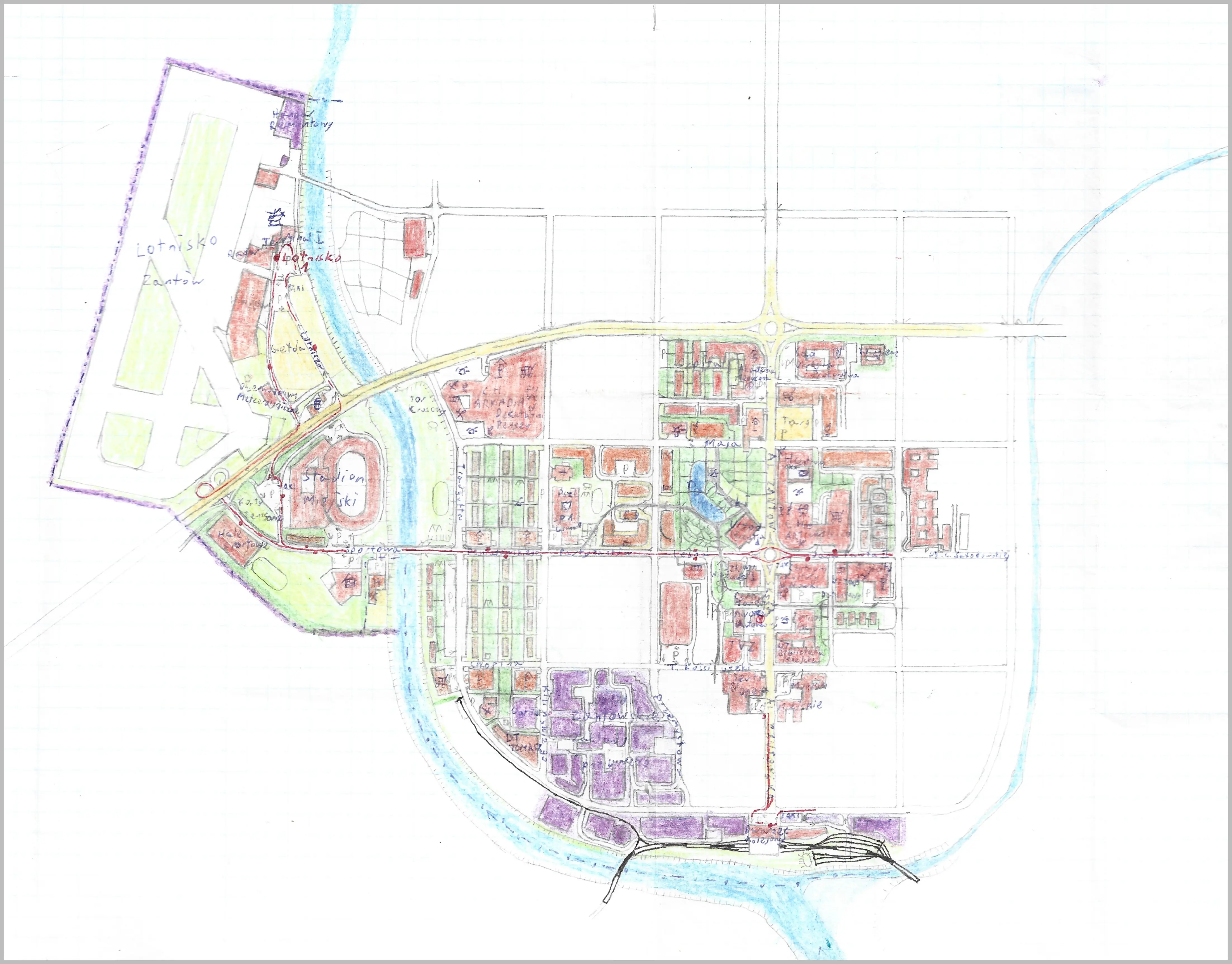
The Town of Zantów
My promising but uncompleted city map, scale 1cm - 100m. I like the overall shape of the city but the airport is the best part. Name Zantów comes from a common name of many streets in Polish cities ulica Partyzantów which means Partisans' Street, but the word is shortened to Zantów so it's like Sans.
Created: no date
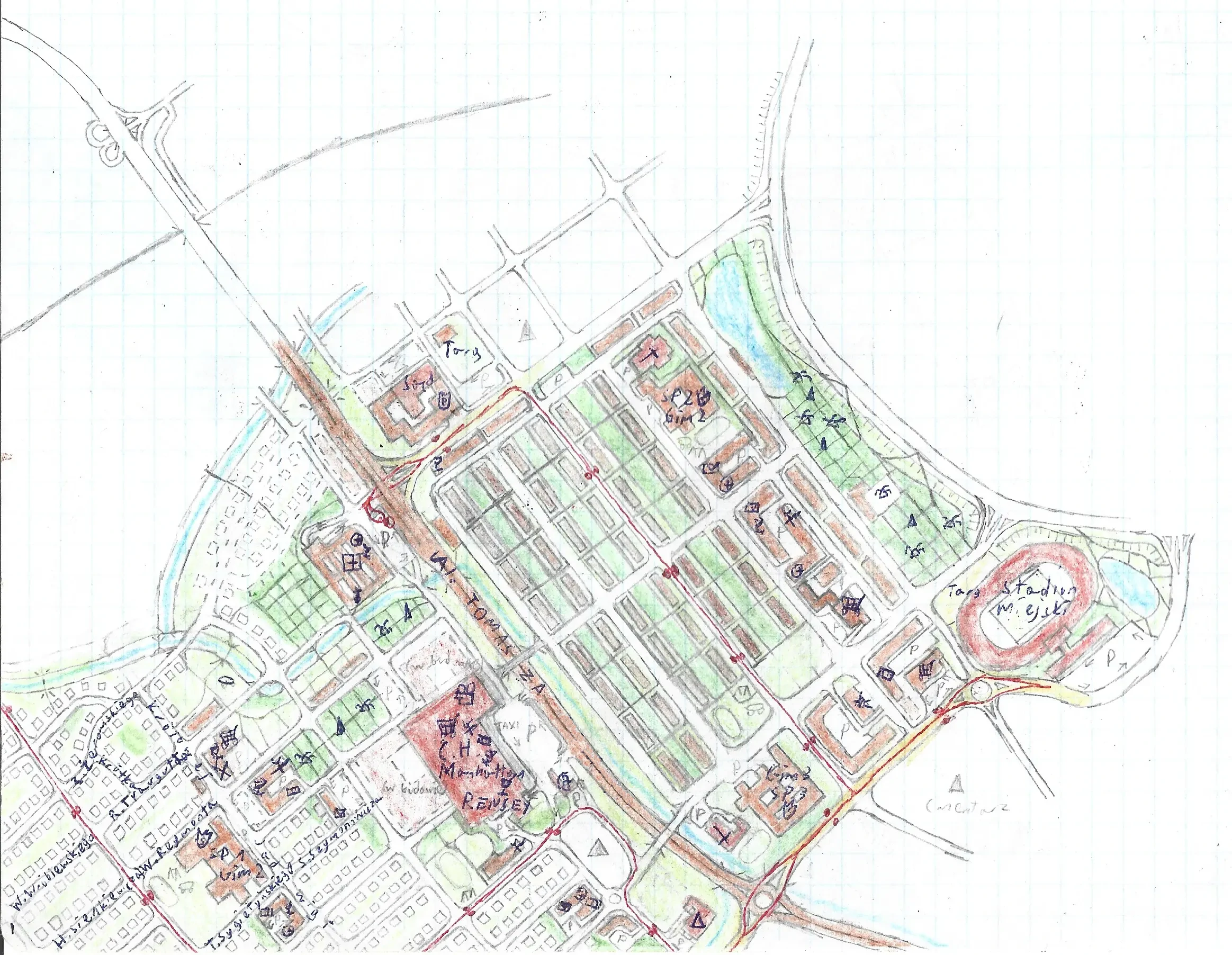
No name residential district
In years about 2008-2010 I was heavily inspired by my paper map of Zamość scaled 1cm - 100m, where apartment flats were depicted as brown rectangles. The district is surrounded by greenery and just on the east side of the delimiting circular road and north of a huge "City Stadium" there supposed to be an old district of that unnamed city.
Created: no date
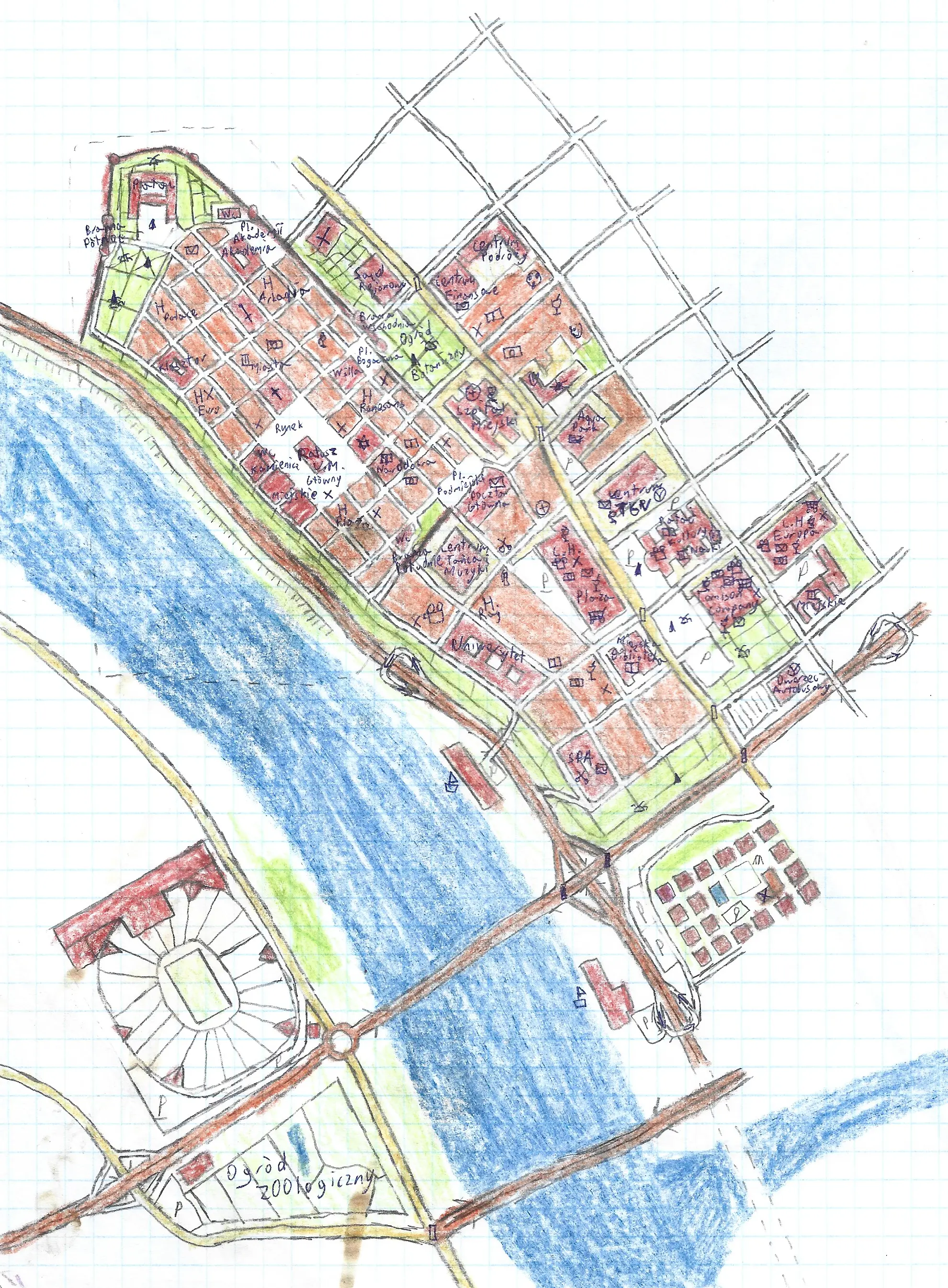
Old district with stadium across the river
Rivers or main railroad was always the first thing to mark the start of the city. This one also got national level stadium as I guess by the time of creating this map, the total rebuilding of The National Stadium in Warsaw was began to prepare for Euro 2012.
Created: no date
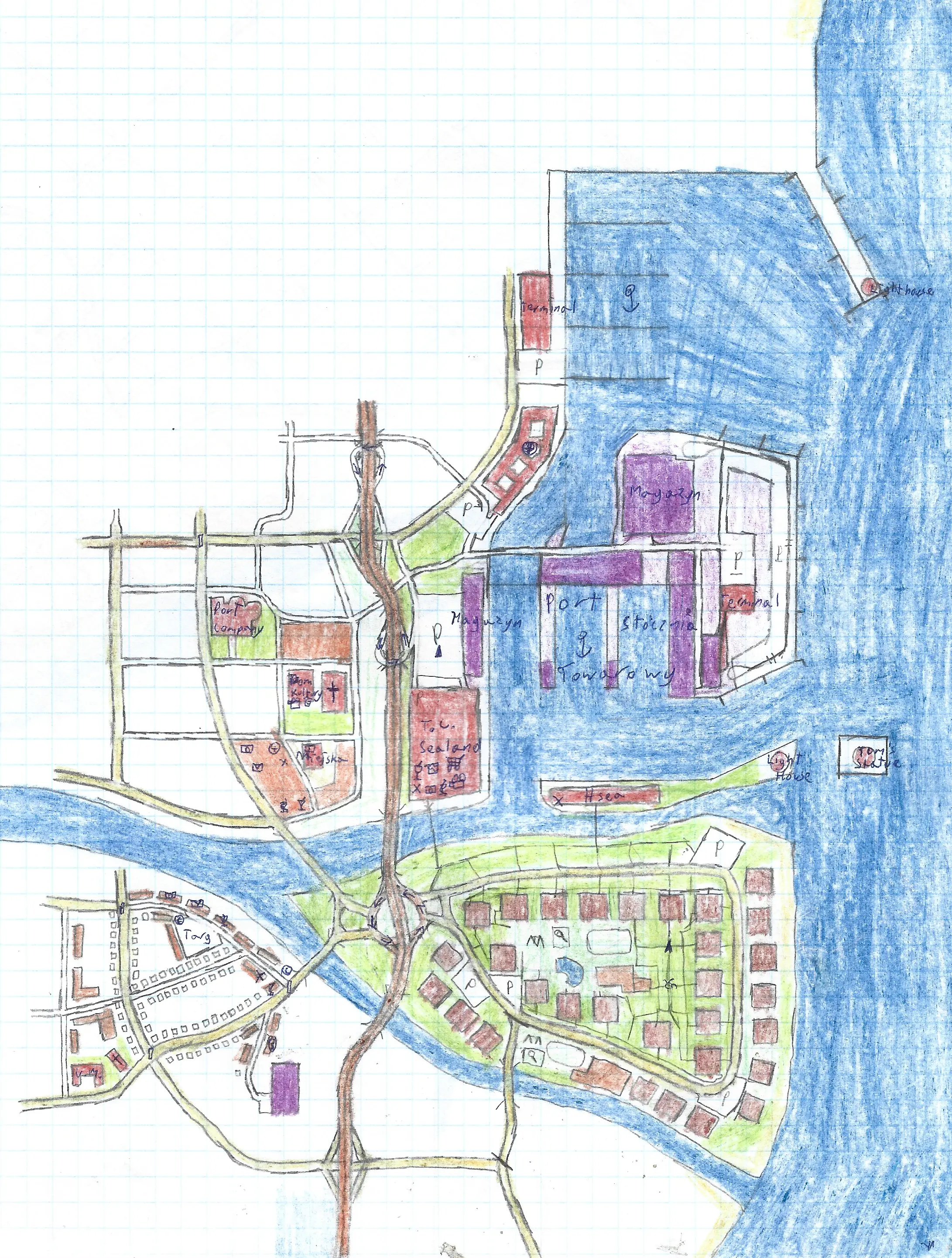
Coastal city with residential district on island
That one is inspired partially by seaport city of Gdynia. I've made a bunch of unfinished maps with that style, on A4 or even A3 sheets, but almost none of them haven't been finished.
Created: no date
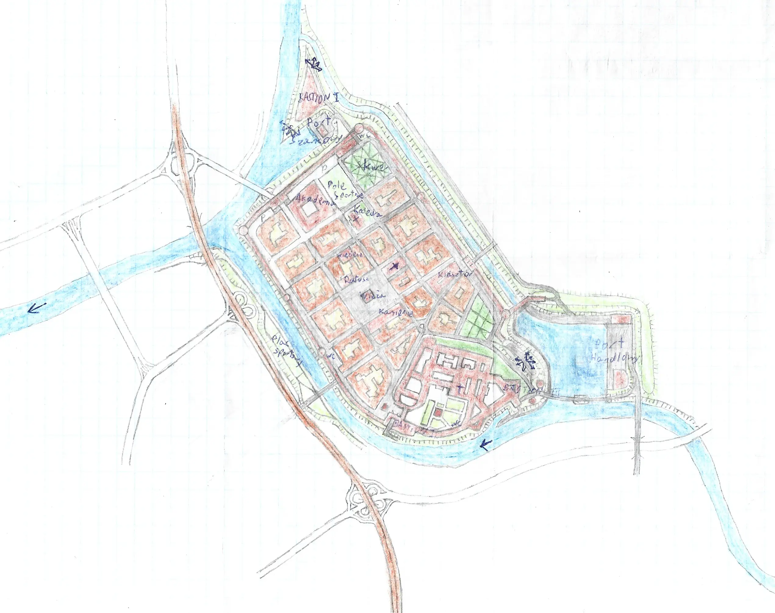
Old district with river port
I like how complex the main castle is, similar in scope to Wawel Castle in Kraków.
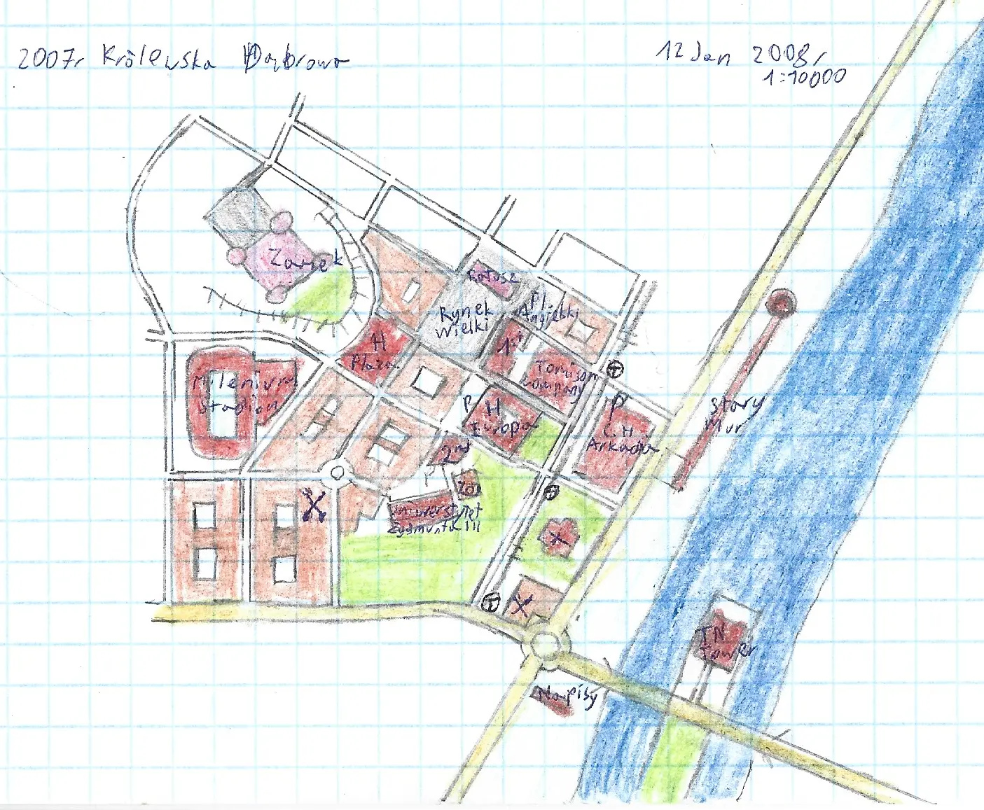
Królewska Dąbrowa City - Royal Oaktown roughly translating
Yet another unfinished city plan, the original sheet of paper that this map was drawn is A3, meaning that the 80% of the space was blank, I just cropped it
Created:
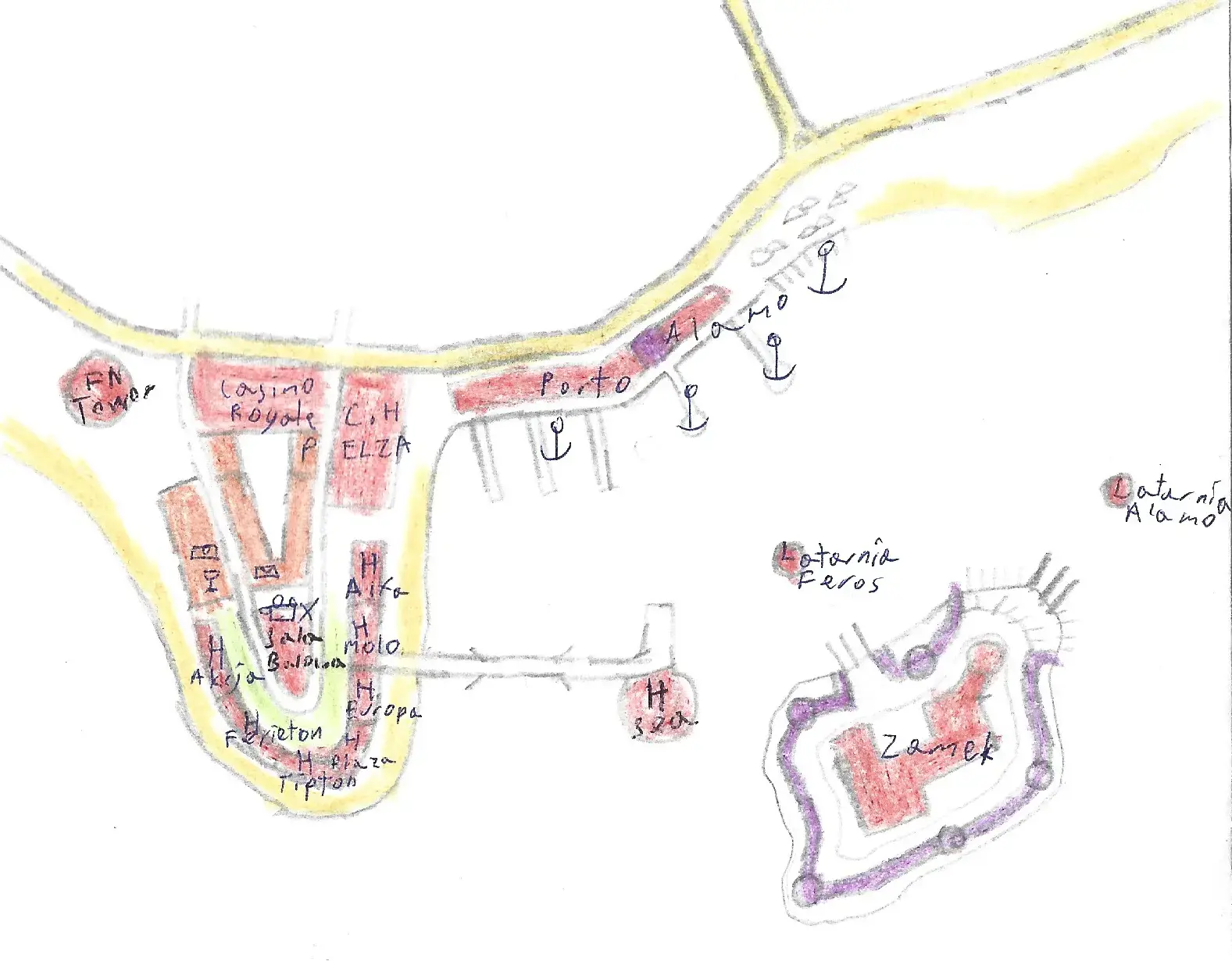
Half assed beach resort - its name is Port Alamo but who cares
I just put this map to show that I didn't always make old city maps, during holidays when I traveled with family abroad I was interested how beach towns are organized. That map is kinda empty and lame, I'm putting it as a placeholder and to waste your time reading this. Also, that resort have ELZA mall, Casino Royale, Port Alamo, two island lantherns: Alamo and Feros and among other: Hotel Tipton - after fabulous character of London Tipton, Suite Life disney star!
Created: no date
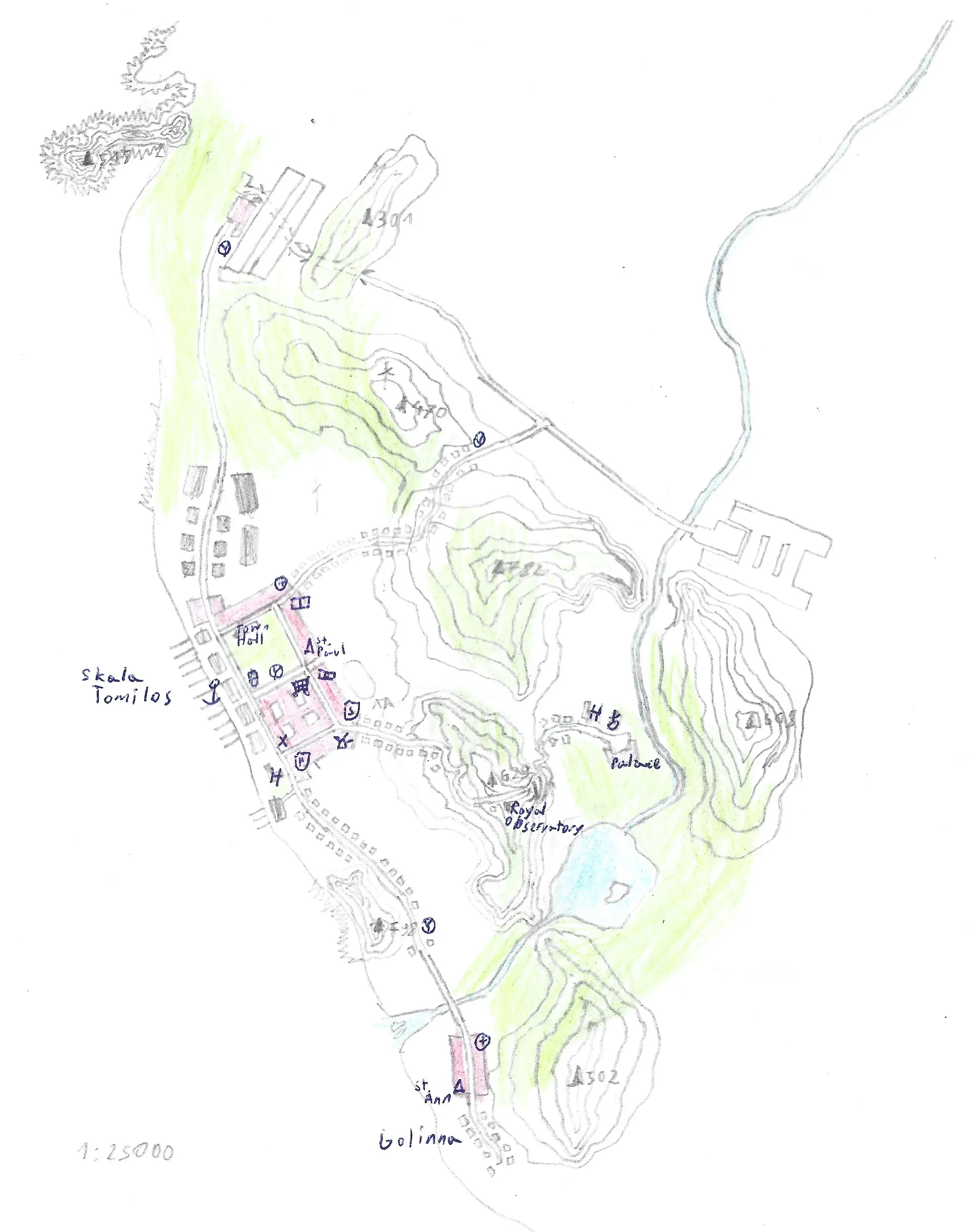
Skala Tomilos
That's definitely the map that I've made before or after one of the trips to Greece, villages on high hills next to the sea is a stunning view.
Created: no date
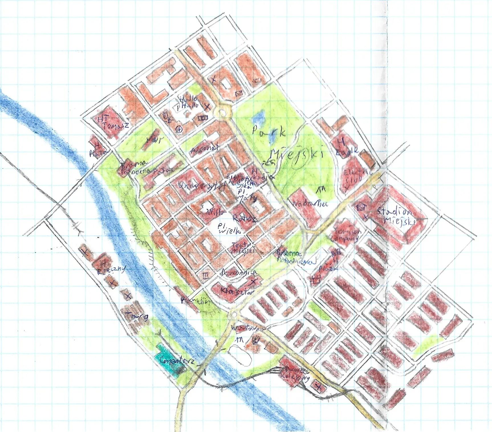
City center and old district - Royal Oaktown roughly translating
Old city districts in modern times was one of the most prominent theme of my maps. This city features railroad that is angled more like a tram line and its main train station is cute, but its rail switches are super tiny given the scale 1cm - 100m.
Created: no date
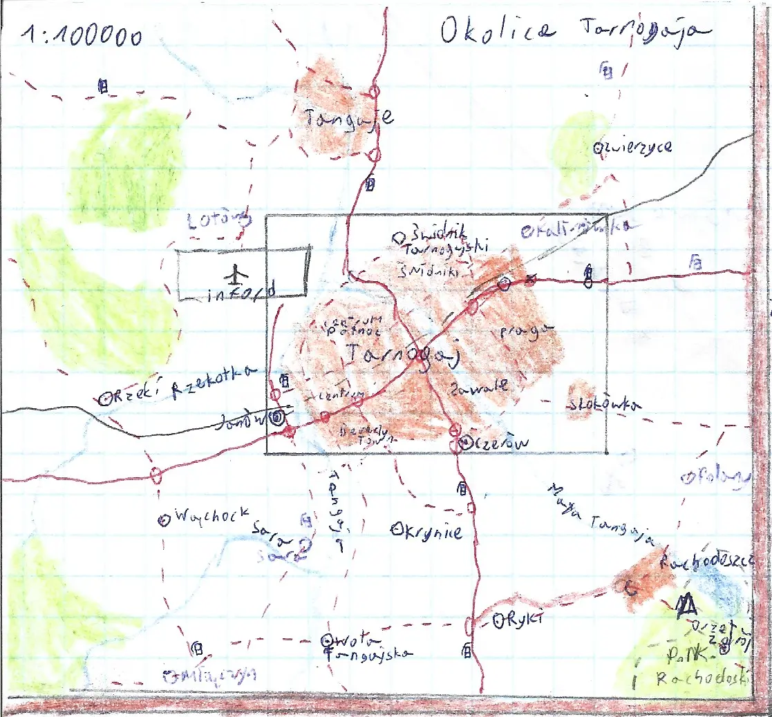
Surrounding areas of Tarnogaj City
Tarnogaj is a fictional city with Polish sounding name and Polish looking surrounding villages and terrain. I don't know why I named the airport "Inford", it doesn't match up but still cool.
Created:
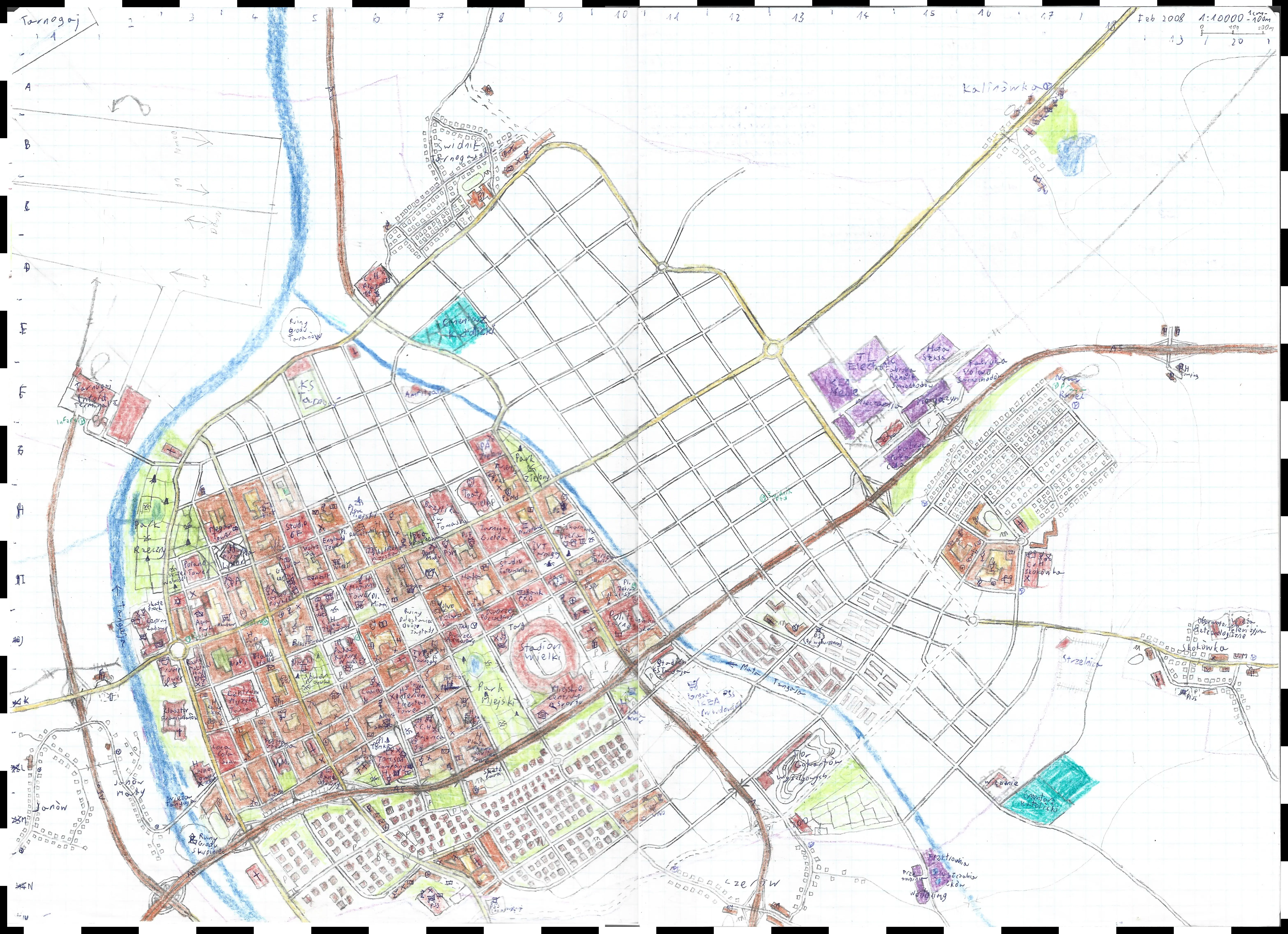
Tarnogaj City - detailed but unfinished
That was one of my most promising project I've made in 2008, there is a lot going on on that map, so many places, sadly it's not finished.
Created:
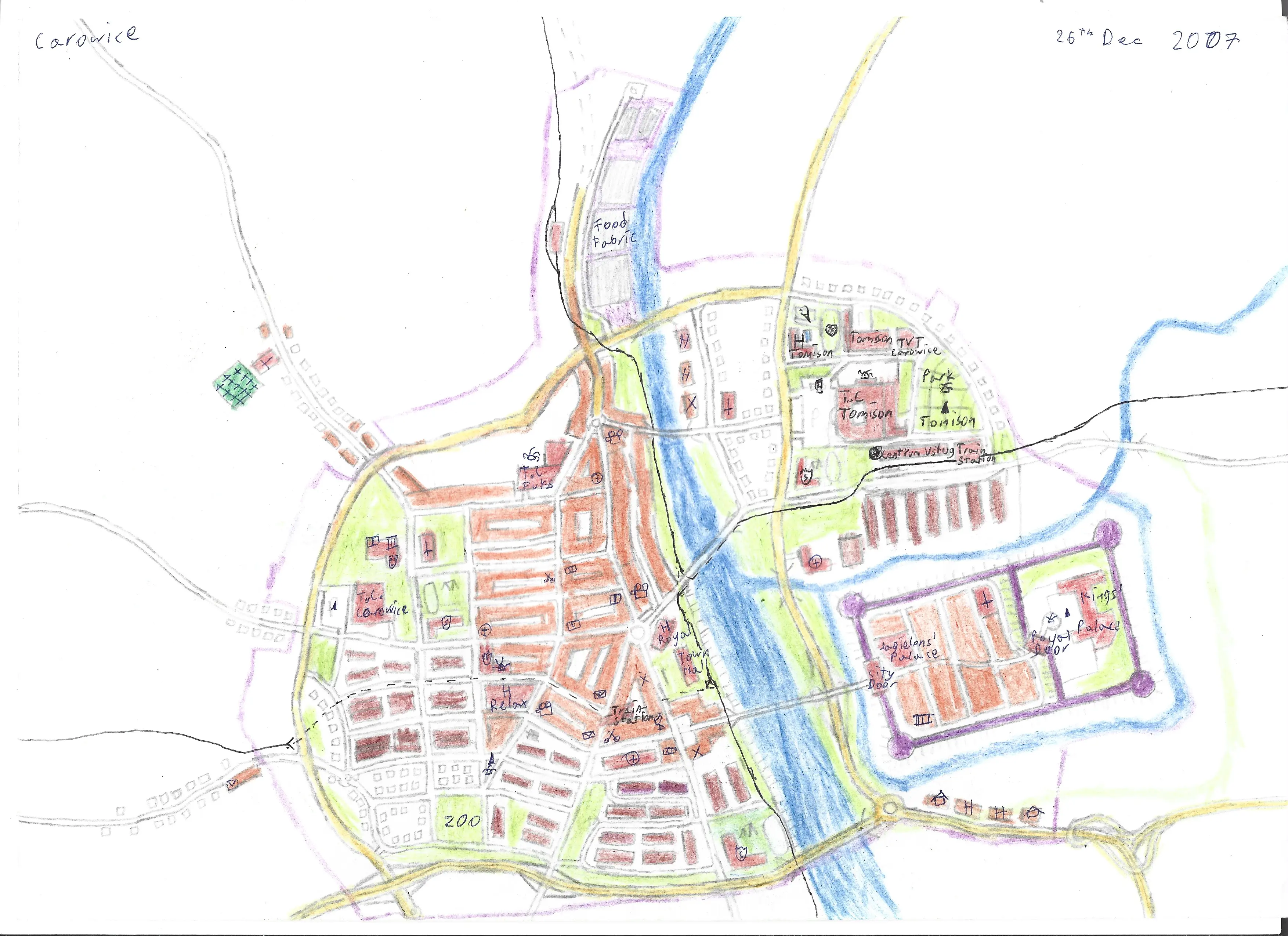
Carowice Town - detailed but unfinished
Yet another town, translating to English 'Tsar Town' and I guess it supposed to feature the citadel of russian army but the walled rectangle here is actually title "King's Palace" and looks more like the Forbidden City, so I don't know.
Created:
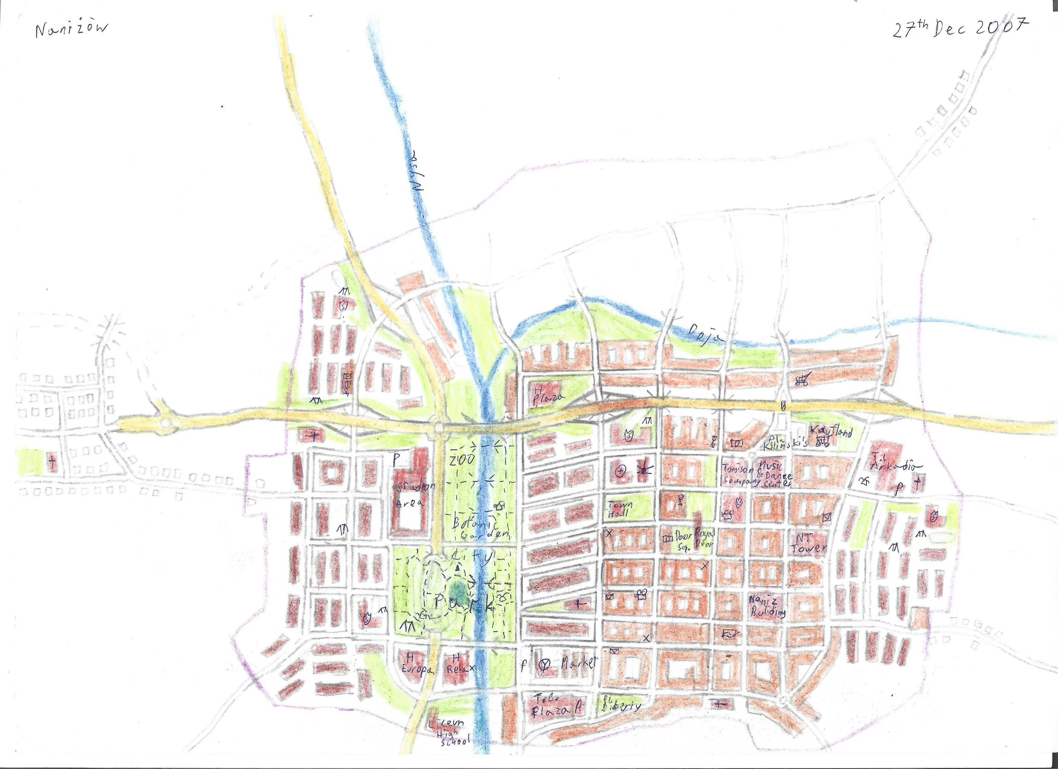
Naniżów Town
Yet another town, this one with the nice riverfront in the center, with tons of parks. The name translating to English is roughly 'On Lowland Town'.
Created:
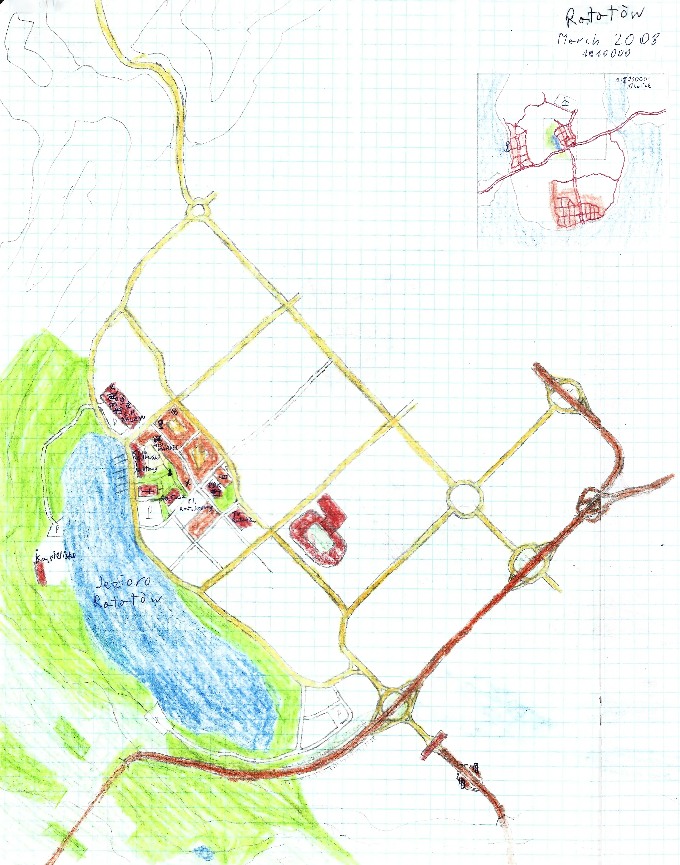
Ratatów Lake Town
I like towns next to lakes.
UPDATE 8th December 2024: I'm so glad that I scanned almost every worthy doodle that I had. This map has been drawn on a large A3 sheet of paper but was left unfinished and mostly empty. My scanner fits only A4 sheets, so larger papers got to be scanned twice and digitally glued, or tossed out. Fortunatelly I scanned both sides as in the right side there was a vast blank space, date of creation, easternmost highway interchange and tiny map of the entire region!
ANOTHER UPDATE: I was editing that map completely missed out the fact that this area is named "Ratatów", not "Ratajów"! What's the difference you may ask? It means that I named it after Ratatouille and not Rataje which is a common name for a town district in polish cities.
Created:
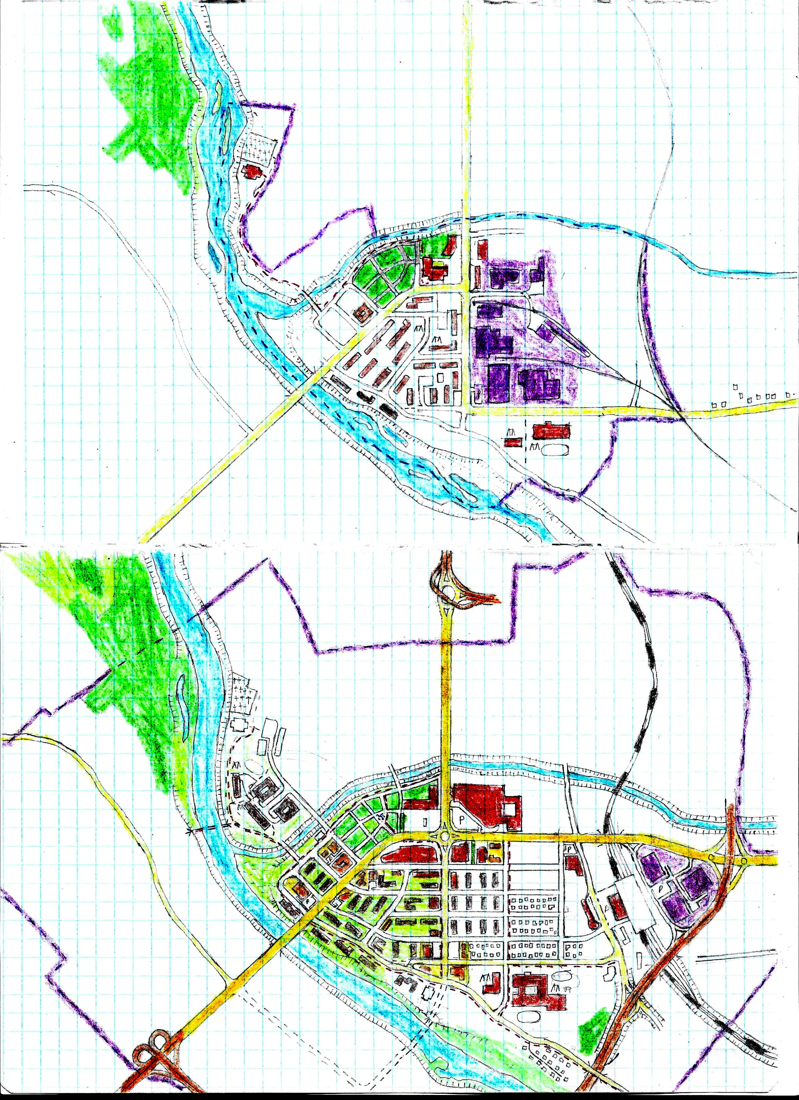
Small town in the past and the present
The idea was that those two maps where on the same sheet of paper and the map of the past town (top) was above the map of the present day town (bottom). The most notable features that changed is a new highway, expanded town limits and deindustralisation.
Created: no date
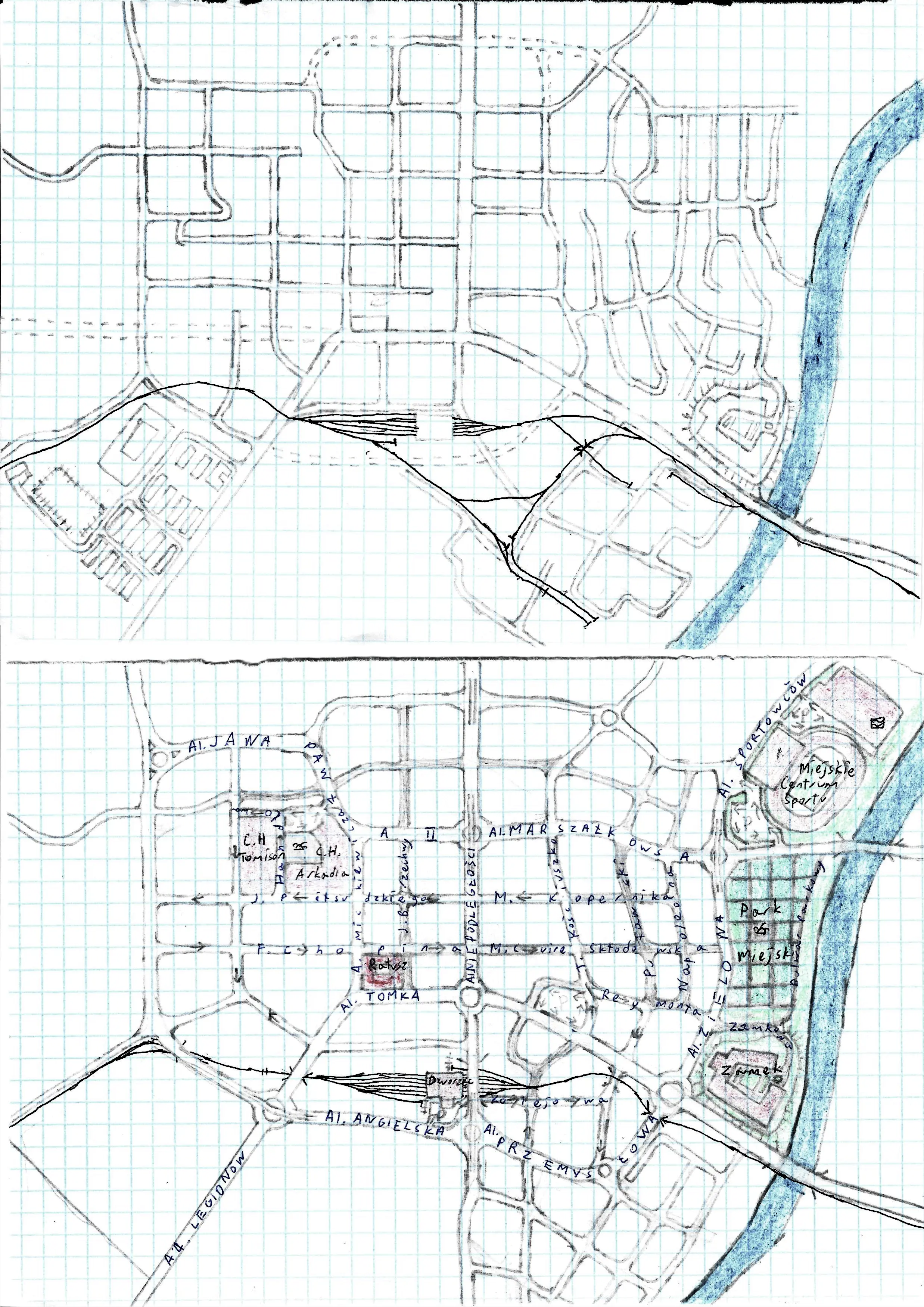
Small town in the past and the present
Look, it's the same concept of a past and present times map, but even less finished and less colorful, yay.
Created: no date
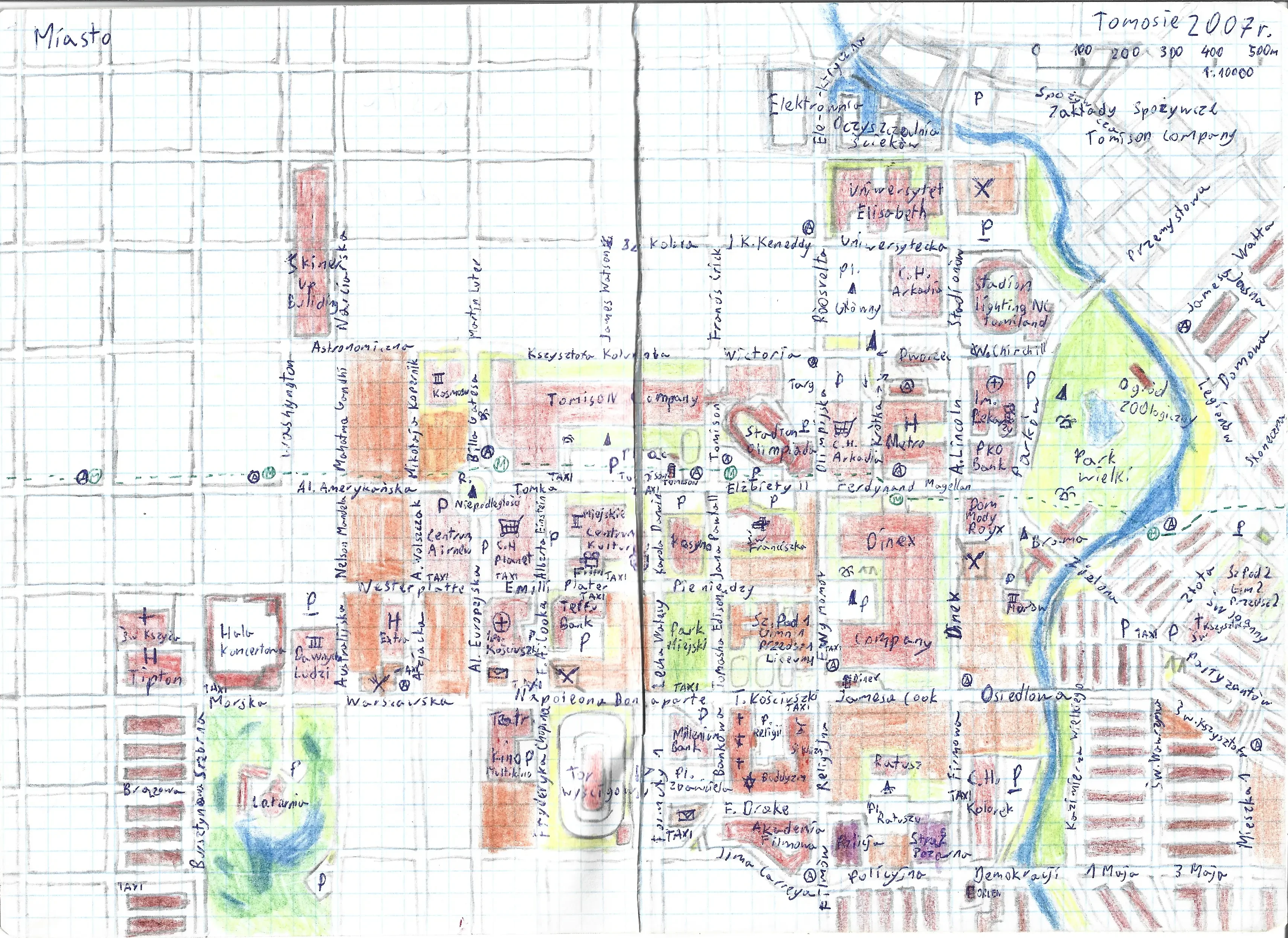
Tomosie City
One of the prominent feature of many of my maps from 2007 or 2008 is a giant L shaped Tomison Company Building blasted into every kind of city.
Created:
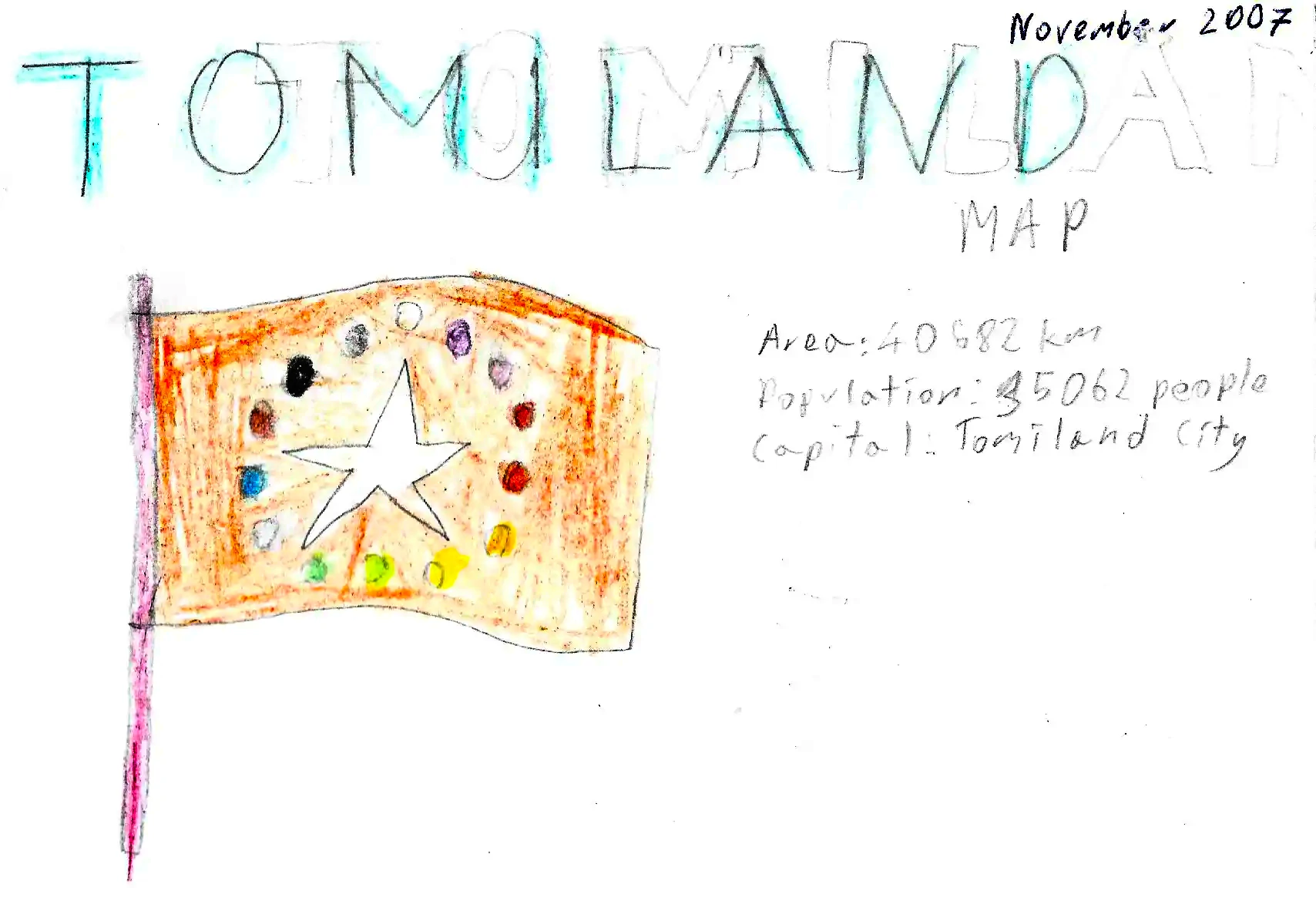
That's the cropped cover (the rest of the sheet was empty) of the map of Tomiland Country, seen below. That orange flag with 14 colorful stars and one big white in the middle was inspired by my favoirite color at the time, orange, flag of Vietnam or Somalia maybe, and European Union, but with two more stars in the circle to put more colors or something. The stats are weirdly unrealistic.
My first comprehensive worldbuilding lore was a series of countries and cities named Tomiland, after my name Tom or Tommy as I was just a kiddo, and English word Land, you know. Even though I was about 10 years old at that time, I knew a lot of English words specifically geography related as I had access to many non-polish maps and was generally surrounded by culture on TV in English, and writing names of places in English (even broken one, who cares) felt more official and realistic.
Why I even bother to recover from my files and put that silly stuff to the internet? Because it's easier to do than create something new, which I really want, but have no willpower, the feeling that drags me down to do anything that I absolutely have to. Besides, it's my funny little legacy from careless times so.
I don't know why those black borders on the edges of images appear, something with transparent layers artifacts or smt, I'll fix that if I want to.
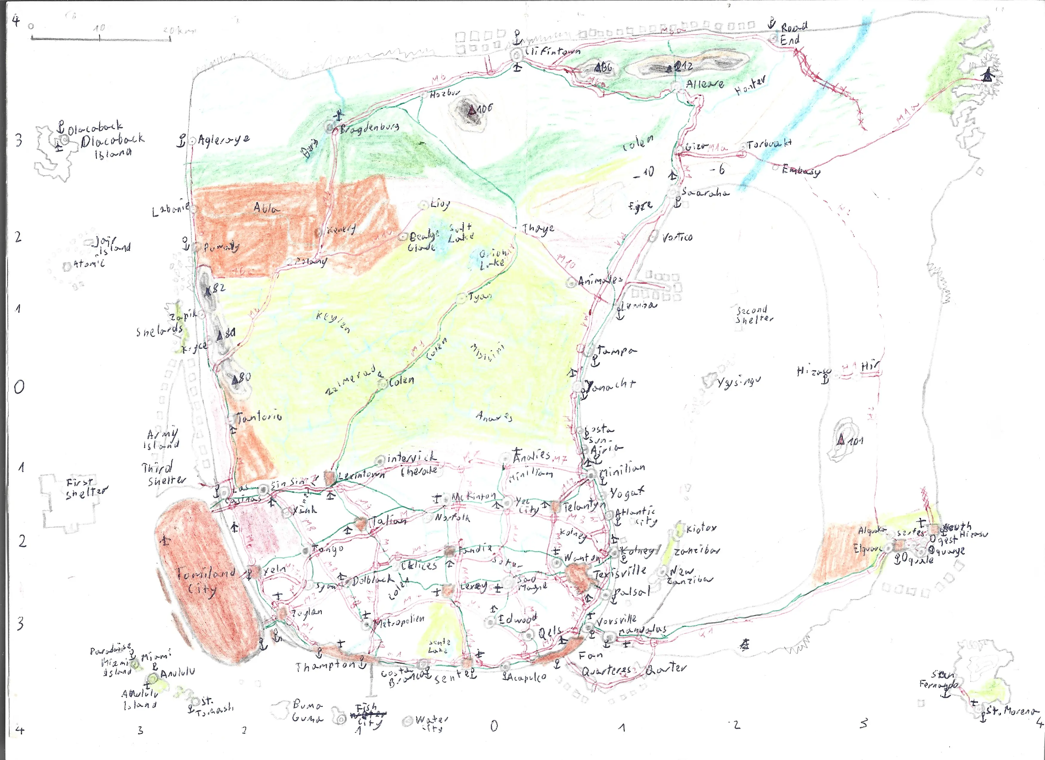
Tomiland Country Map
That's the map of the Tomiland Kingdom from 2007. The idea of the coastline comes directly from cool looking shape of Greek island of Limnos, I just love that closed bay area and clear division between two parts of the island. I only got to know up to year 2021 that ARPA game recreated that island in its entirety as the open world map. That many years and I didn't know that this shape is so well known among gamers.
In case you're wondering what's up with those squares all over the coasts of the main island and what is "First Shelter" and some other weird details: The lore of that map is that it's a floating flat space station, just like in Spaced Out cartoon and those shelters are like lifeboats, but in space meaning, when something might damage the entire map, those shelters would be filled with refugees from the mainland and shiped up like a rocket from the main platform, if anything of that make sense, which it doesn't, it was just a child fantasy.
Created:
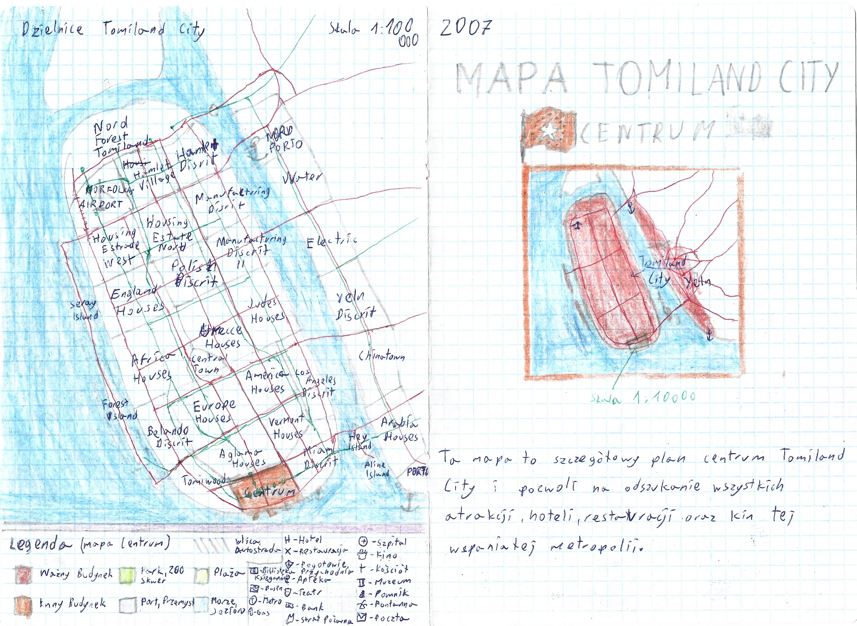
Tomiland City District Map version 1
Back in the day I got a paper map of New York City with a little guide book, and I was mesmerized by the scale of the city and its cool features. This series of city maps are directly inspired by Manhattan.
Created:
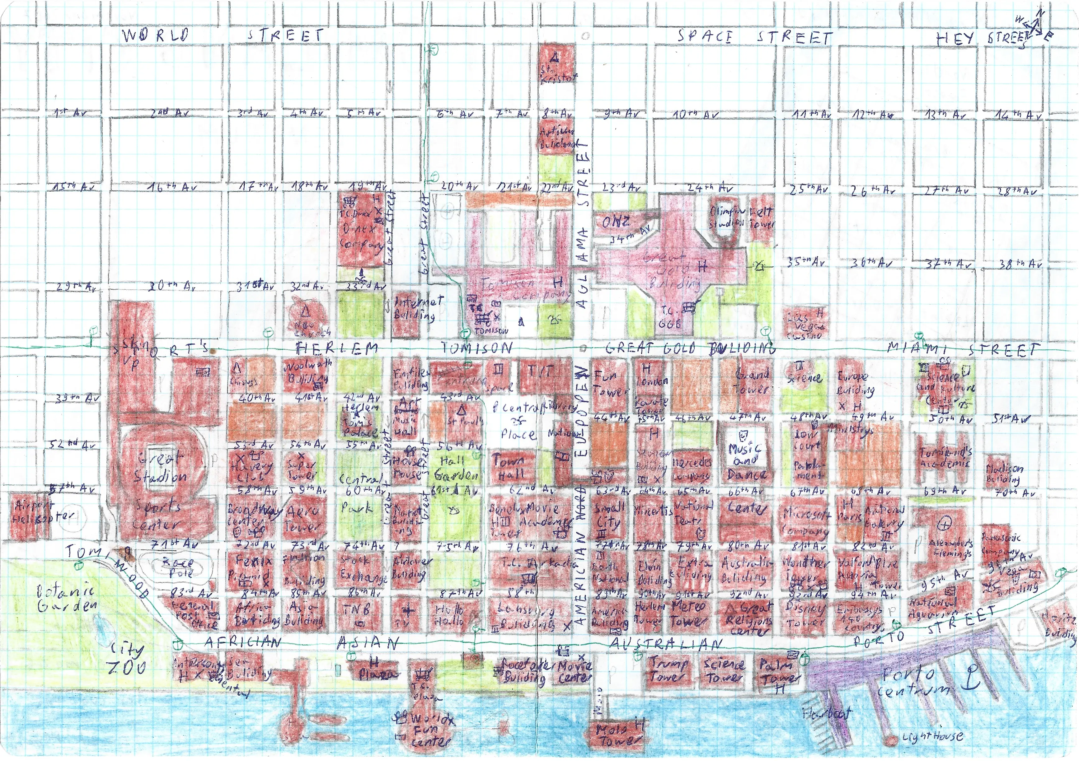
Tomiland City Downtown version 1
If you take a look closely you will find Trump Tower. I had no idea who Trump is, never watched The Apprentice and just saw the prominent building in Manhattan guide book so I included it too lol.
Created:
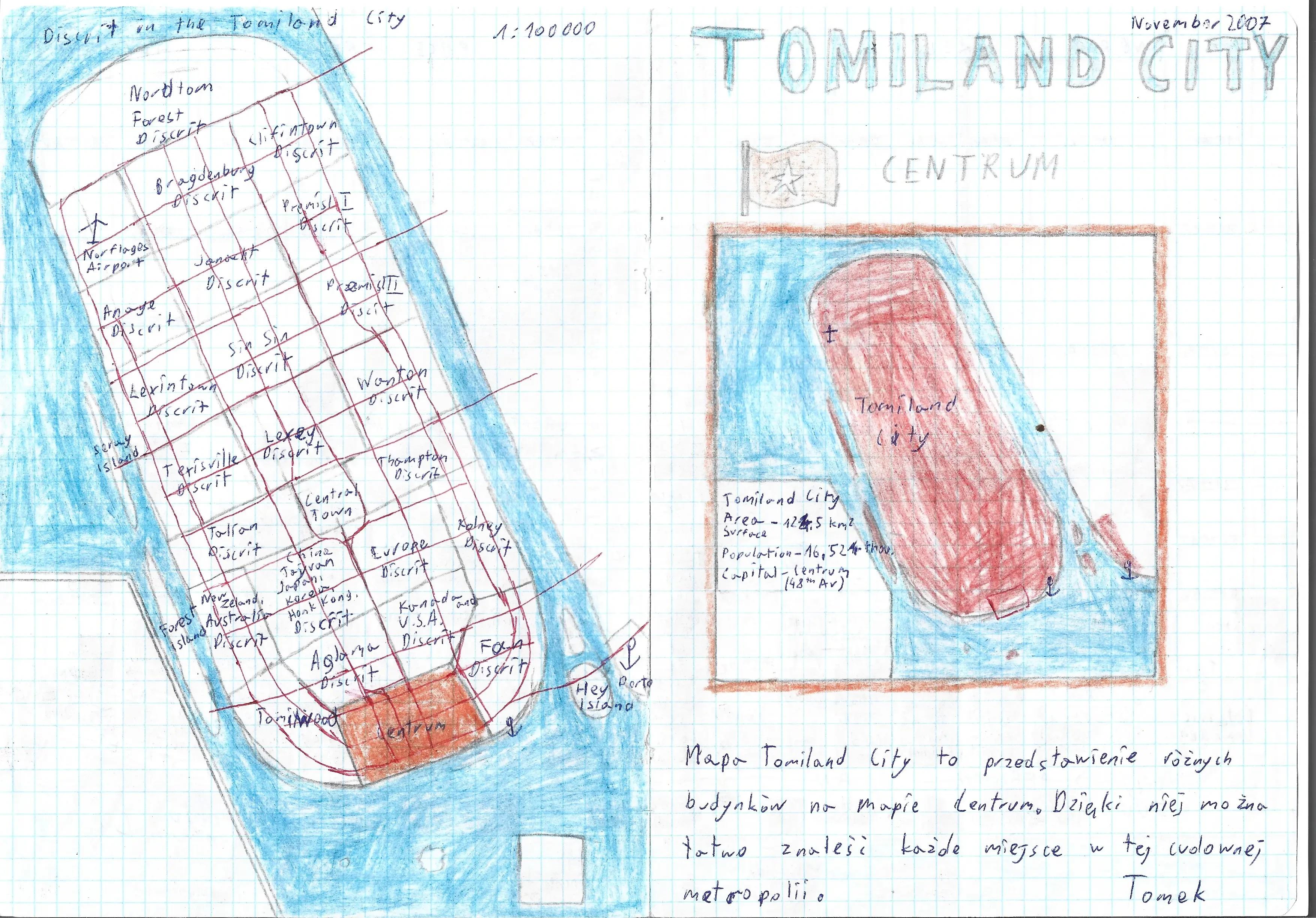
Tomiland City District Map version 2
Real nations have their own district too, and not like Little Tokyo or another Chinatown, there is China, Taiwan, Japan, Korea, Hong Kong District, everyone is included.
Created:
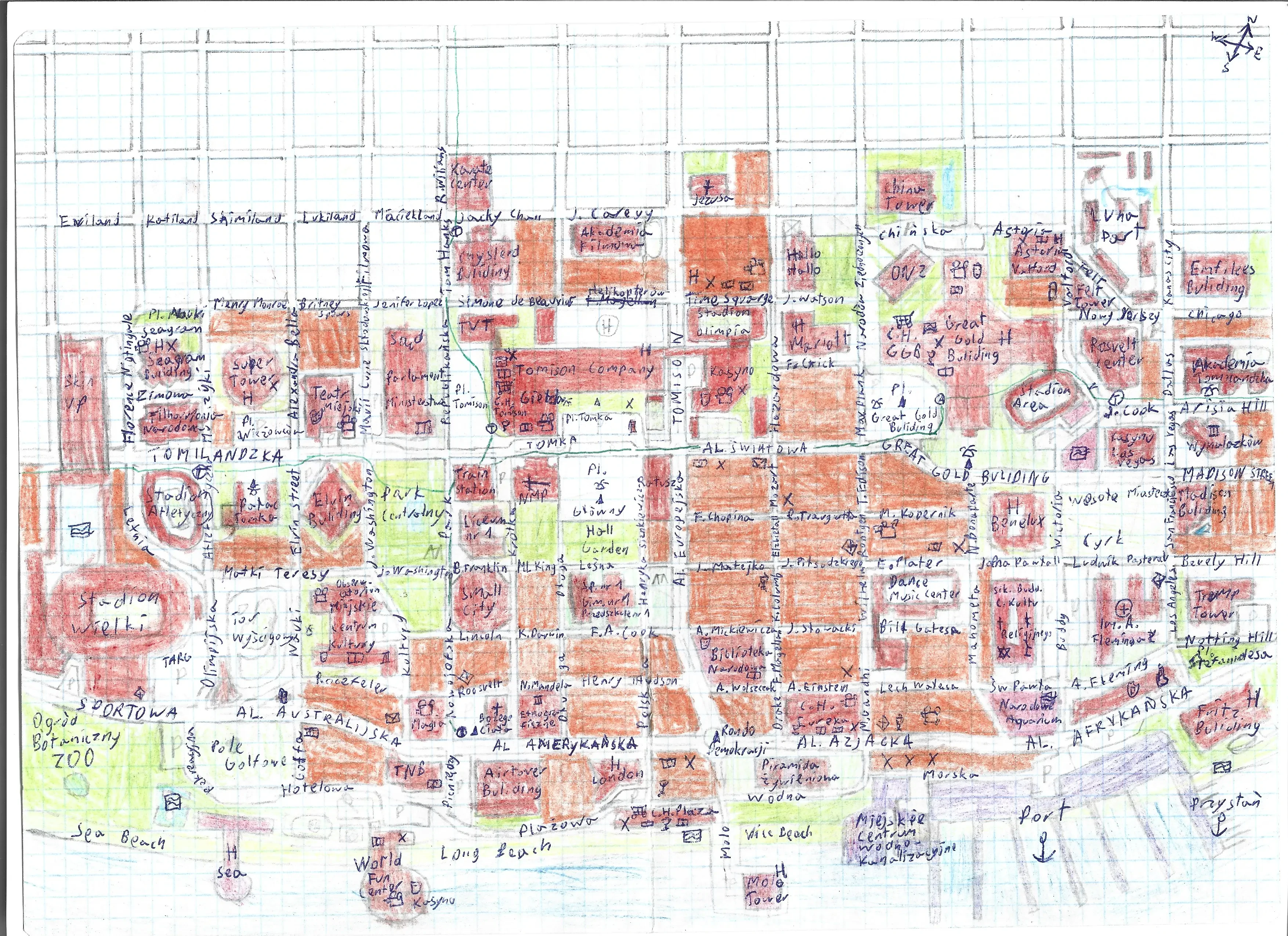
Tomiland City Downtown version 2
A bit more colorful than the previous one.
Created:
Tomiland Artificial Island
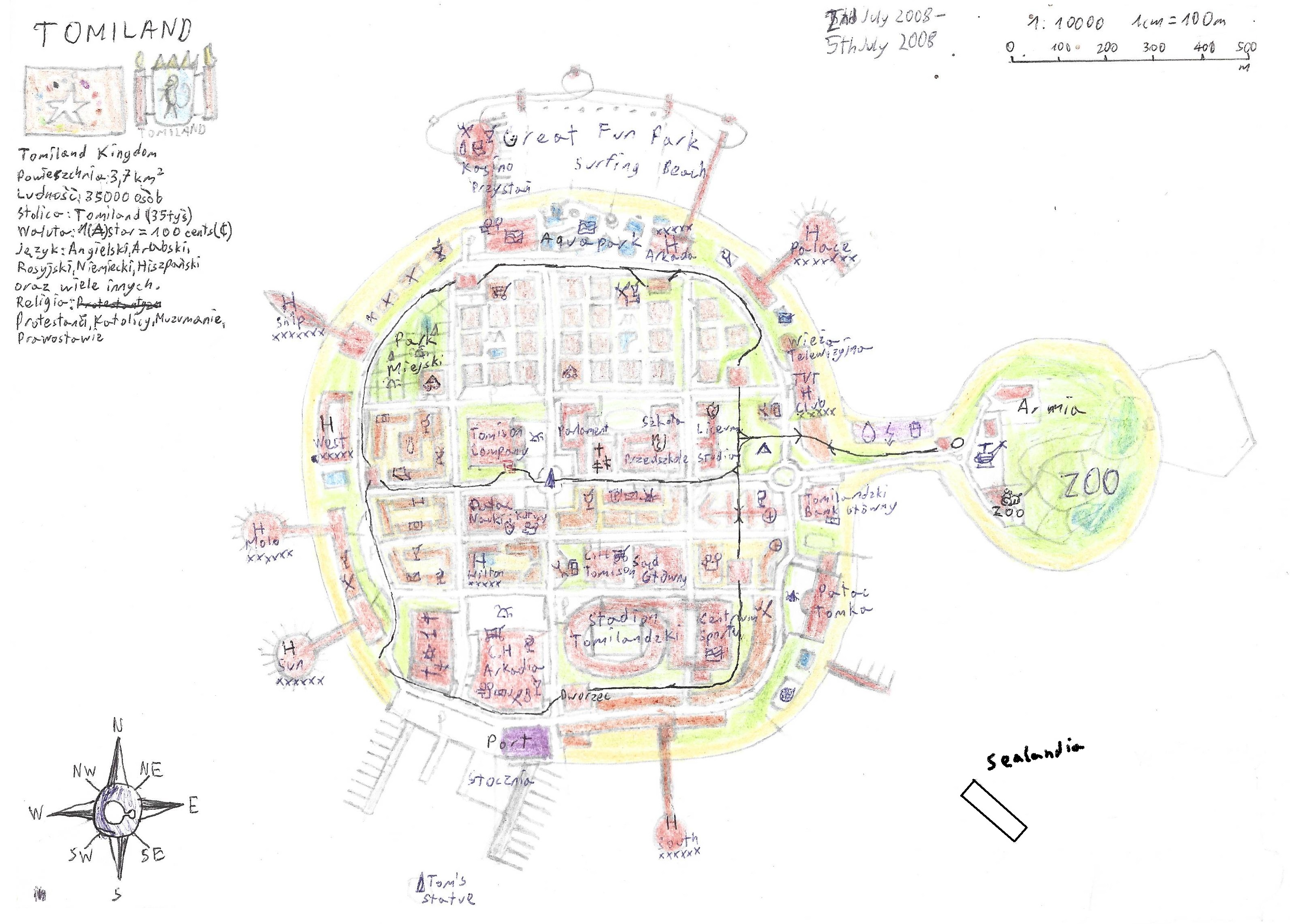
That's one of the most embarassing fantasy map I've created. I still cringe about it, but at least it's worth to show as an example of my big childish dreams about some unimainary wealth of having an artificial island full of atractions, but also the topics that were relevant back then in 2008. That was the time when the hype about constuction of artificial islands on UAE shores was the highest, and the environmental, economic and human cost of that unhinged development of Dubai wasn't that highlighted in the media (or at least I wasn't that concern and just read mostly positive news)...
Anyway, my island had to be awesome, it got Great Fun Park, Tomison Company HQ, a ZOO and the army camp with helipad and coastal protected zone, TV Tower, a huge stadium for the population of 35 thousand people, loads of giant hotels, shopping centers next to multireligion temple, my palace, my bank and my fucking statue (sic) next to a my own shipyard lmao
Also that was the time when I heard about the Sealand platform so I put that on the shore for comparision (the original drawing almost faded as was drawn with a weak pencil, so I bolded it in post.
Created: 2nd July -
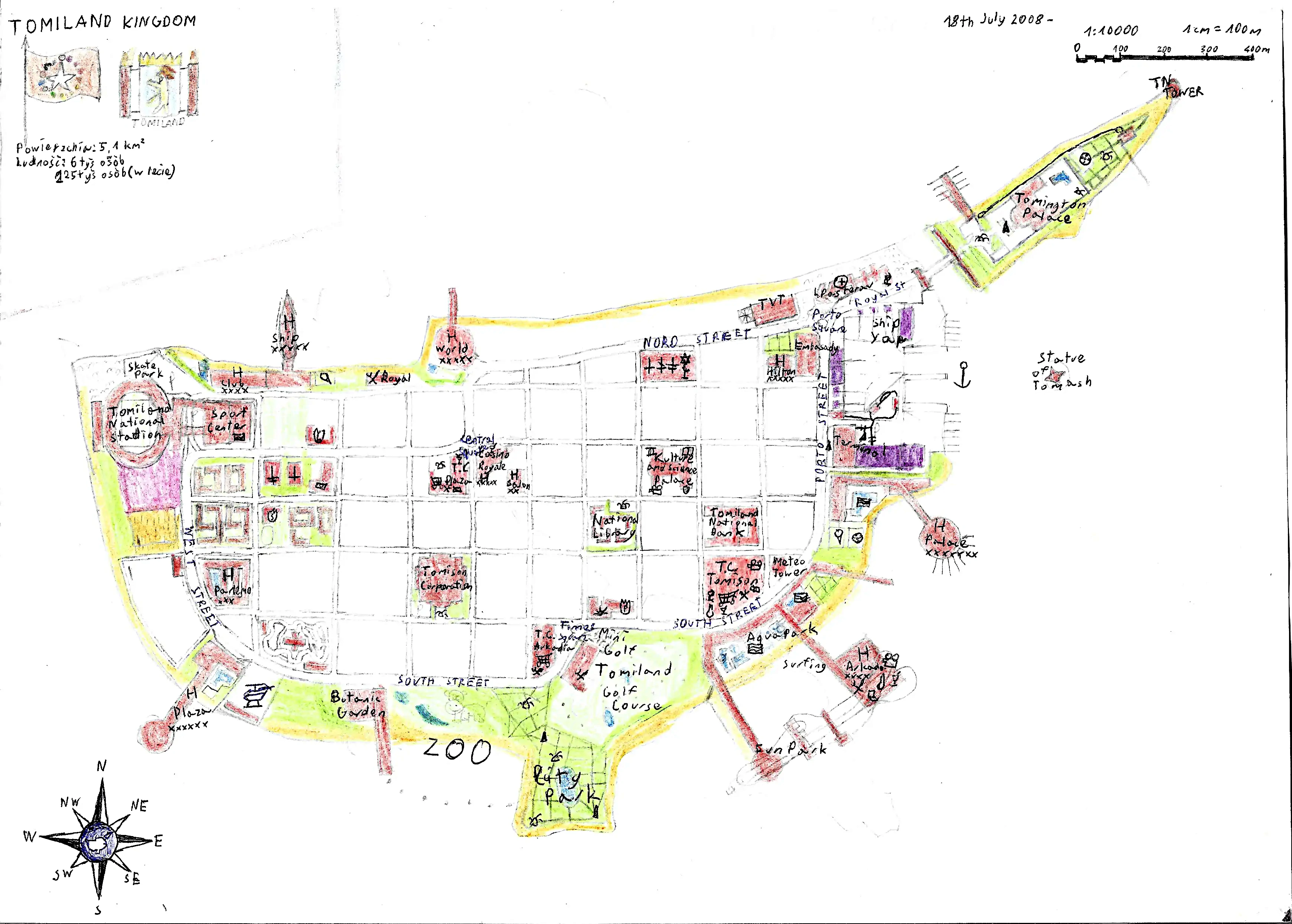
Tomiland Artificial Island with the shape of Cyprus
Cyprus is a hella nicely shaped island, go good from aestetic point of view if fact, that Cypriots put that golden coastline in the middle of flag of Cyprus. I made numerous fictional maps inspired by it, another example, much better map in my opinion can be seen in the next page, so you can check out that before you scroll down to more cringy maps. Also fun fact, on the top left corner there are stats regarding this artificial island, which states the area is 5.1 sqr km or about 2 sqr miles, with the population of 6 thousand people year round, and 125 (or 225, it's was clearly a mistake) thousand people in summer
Created: .