


Hi There / Cześć!
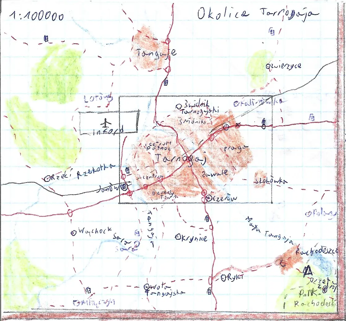
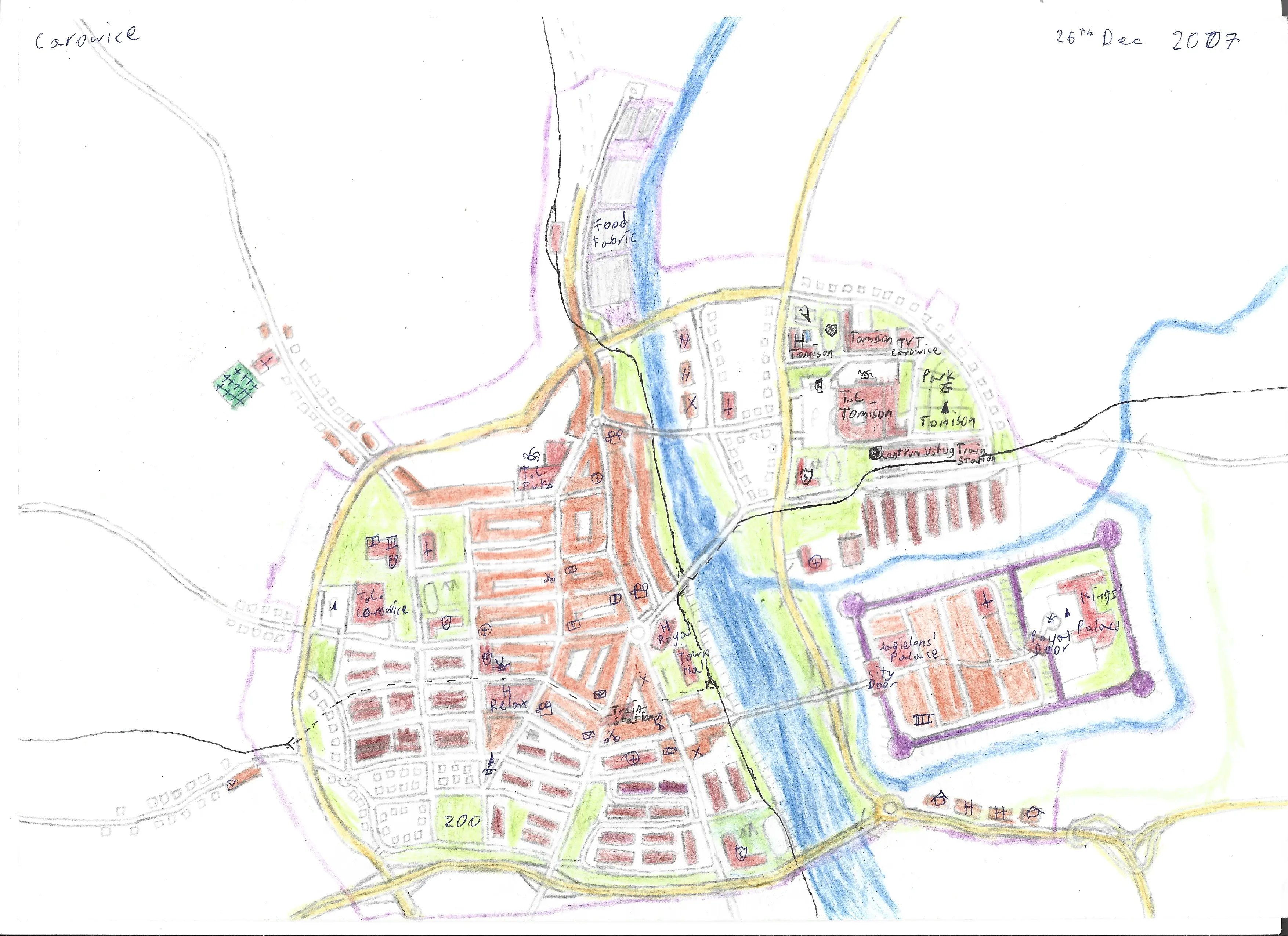
My name is Thomas (he/him) or tomk for short, I'm a map nerd from Poland🇵🇱🇪🇺 and this is my simple personal website with old map doodles and such, hosted on Neocities!
About the site
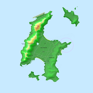
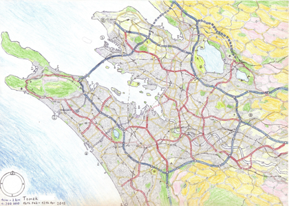
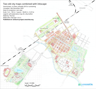
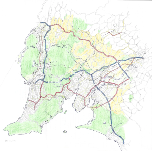
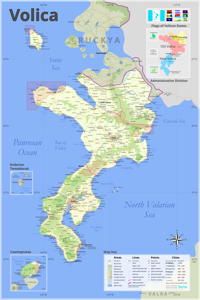
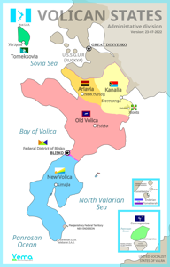
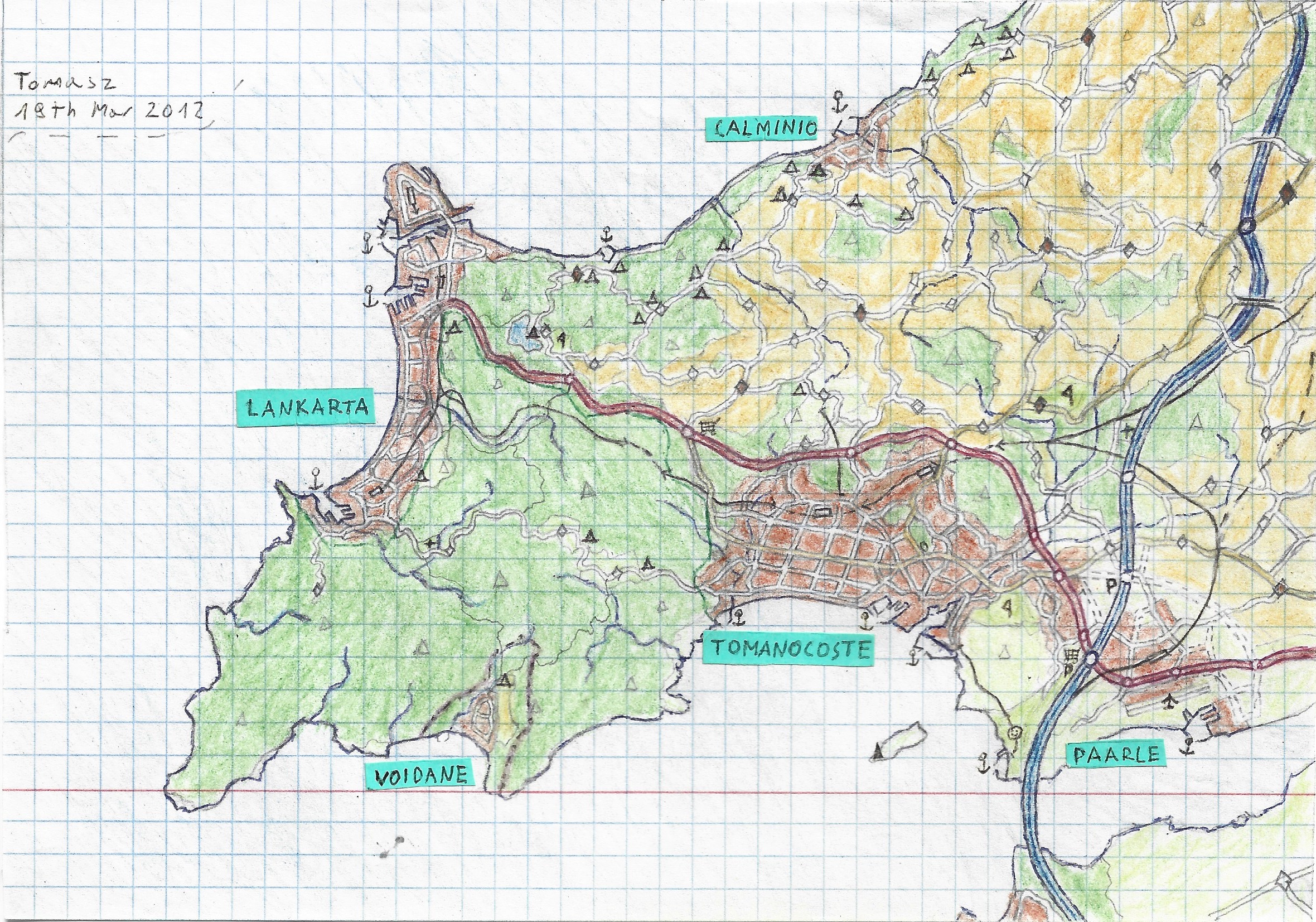
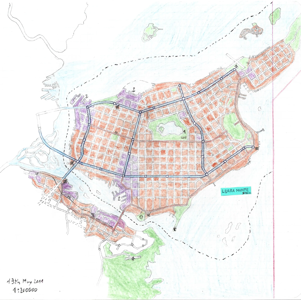
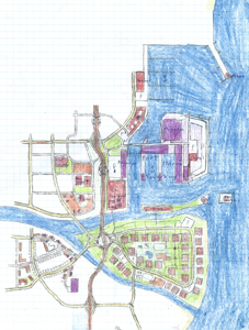
Even though I'm kinda busy, I wish I could be able to make much more robust maps and the development of a new app that I named Lankarta, is my way too ambitious plan to do it, just like my other ideas. Sadly it's very improbable that I'll be able to finish any of them, but at least I'm trying to write them down, hence this website was created.
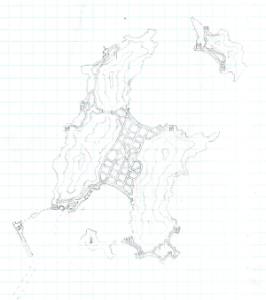
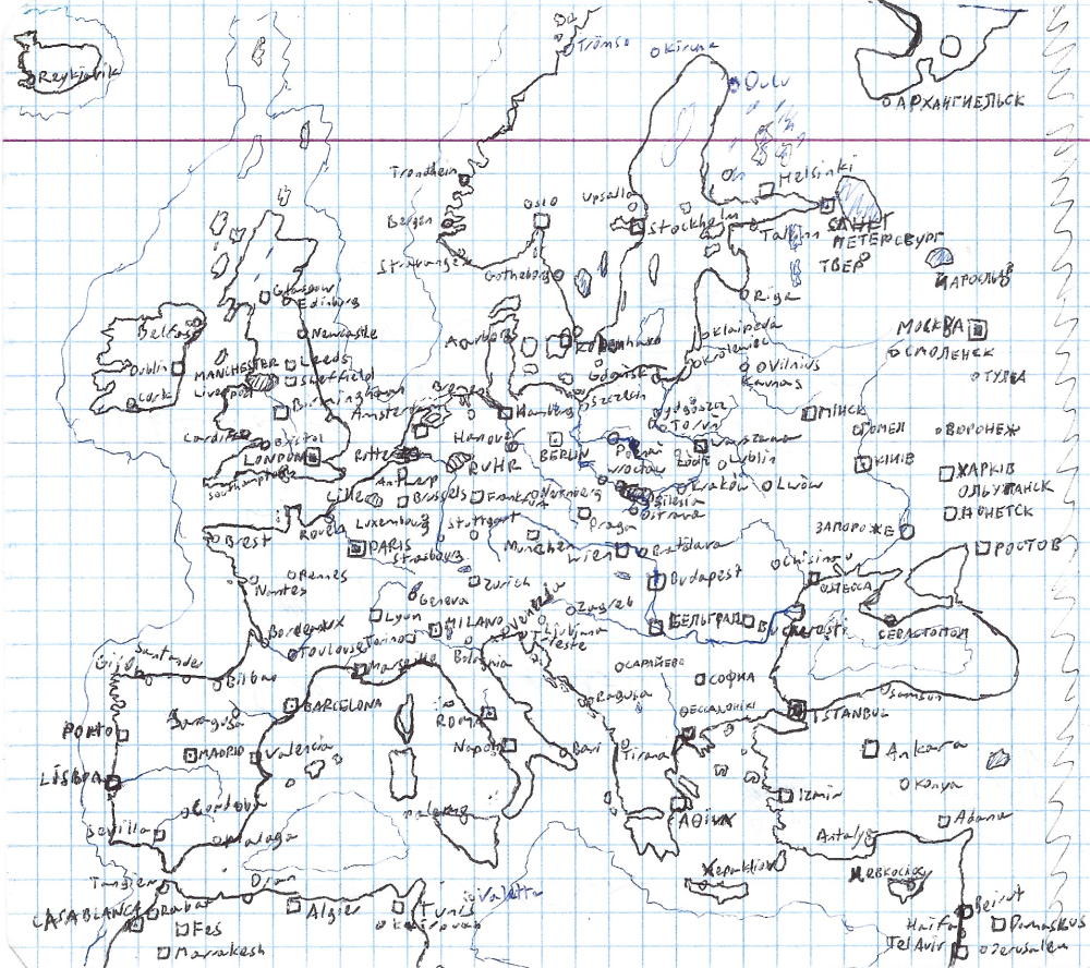
This website was started in 27th July 2024 thanks to this video of You've Got Kat youtube channel. Thank you so much, I like the simplicity of the webpage editor and freedom to write whatever html/css/js stuff without any template! I would also like to give a shoutout to the author of another, but much smaller youtuber Geofiction which, because of this video (and the entire channel), inspired me to put out my hand-drawn fictional maps into the internet!
Warnings

This site have zero adult themes like nudity, gore or violence so it's completely SFW, it's just a bunch of maps and doodles after all. There is almost no offensive stuff except a few swear words that I missed while writing some boring walls of texts, so no minor will bother to read them anyway. Also the topic of politics might appear, but it's written in a calm way.
There is no flashing lights on this site, it's almost completely static, except some gif buttons on Webrings & Buttons page. I'm trying my best to learn how to code accessible layouts and features, but it goes quite slow.
License
I doubt anybody would like to use any of my maps, images or code, but if someone actually is going to, please give me a shout-out to my site and don't make some evil things with my content please, thank you. I guess it's called Creative Commons, but I may figure out what proper license is the most fitting, but for now, just be kind to me and my stuff!
I don't mind that much if my work is used to train some AI models, at least there's nothing I can do. If it helps somebody to their artistic endeavour in a local model, great! If my ficitional maps got accidentally mushed together with the real world data so it spoils the future generation of AI map graphics, well, hire some actual cartographers to fix it 🤷♂️
Compatibility


This website is tested (and optimized?) on both desktop and mobile version of Firefox, I use other browsers sporadically. I use Windows and Android, have no clue how this thing looks on Apple machines, hope it's fine :).
Sharing


If you want to link my website, especially with my buttons, let me know and I will surely add you to my list of links and the wall of buttons too!
Constant work in progress
This webiste is constantly changing both visually and structurally, some stuff might not work, some links might lead to nowhere and on and on. If you're here, you know that drill from almost all personal websites. Another thing is, the syntax of phrases might be odd, I'm not native English speaker, so if I spot some weird words, I often change them (sometimes to something weirder). It means there will be many updates, but the large chunk of those will be just cosmetics.


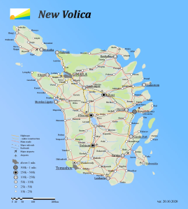
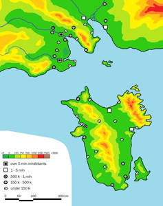
Featured Regions of the World
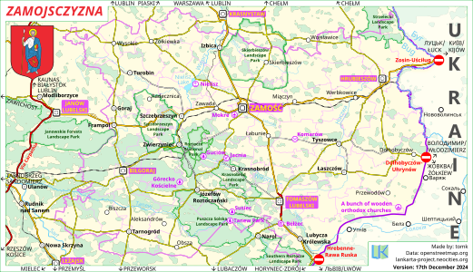
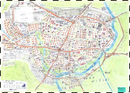
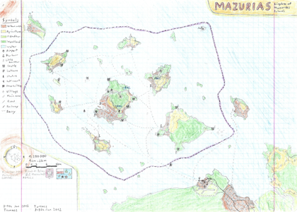
I roam around maps and geography tables a lot, so I decided to feature places that caught my attention on my website. I often check out less known places so maybe your hometown will be featured too!
The number of featured regions in the current year:
Featured Regions of the World subpage link if iframes don't work
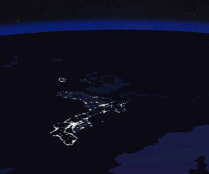
Random Photo of the Earth
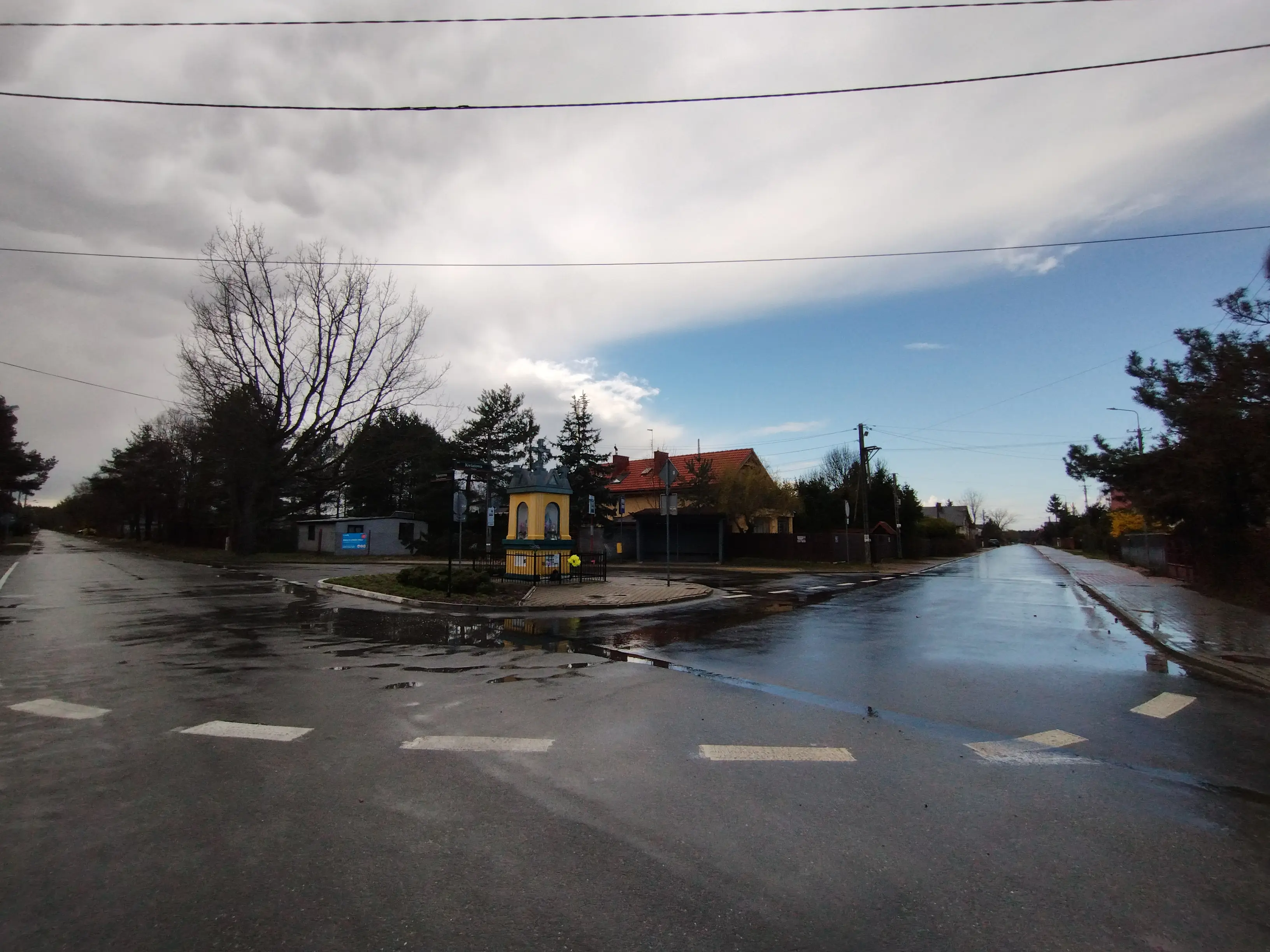
I took this photo with my phone, with wide angle mode, no photoshop, no filters. I was wondering should I increase the saturation so the photo would look the way I saw it, but nah, the contrast of the two skies is visible enough on raw photo!
Sharply Divided Sky
I was driving across Kampinos National Park to slightly diverge from the bustling roads of Warsaw and breath a little bit of fresh air. For a moment it was raining with a pinch of tiny ice sleets, and right after it stopped completely I noticed very bright blue light that iluminated the asphalt into glowing blue road. It looked really strange from the side mirrors, no one was driving behind me. I pulled over right on this spot, on the crossroad in a small village Mariew surrounded by the national park. The blue road is heading west, the grey is heading south. In the middle there is a bus stop and a lovely wayside shrine. I dunno, it looked stunning in person for a second, even though it's just a bunch of clouds.
Update Log subpage link if iframes don't work
Chat (test)
Bluesky is also a possible way, I need to have a reason to to there once in a while ;)
I don't have to tell you please be nice, because you're all awesome here on the Neocities!